- Africa

Содержание
- 3. More About Africa Africa: Africa is the second-largest of the seven continents on Earth (Asia is
- 4. Lakes: Africa's largest lake is Lake Victoria; it covers 26,836 square miles (69,500 square kilometers). Other
- 5. The Sahara The boundaries of the Sahara are the Atlantic Ocean on the west, the Atlas
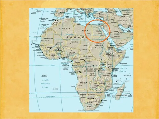
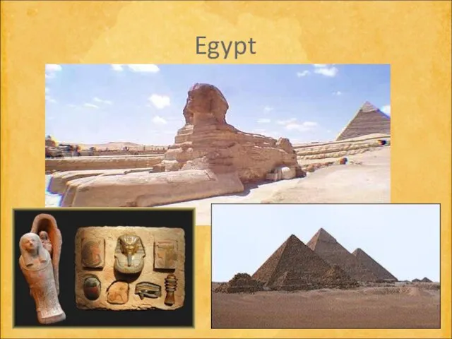
- 6. Egypt Location: Northern Africa, bordering the Mediterranean Sea Area - slightly more than three times the
- 8. Egypt
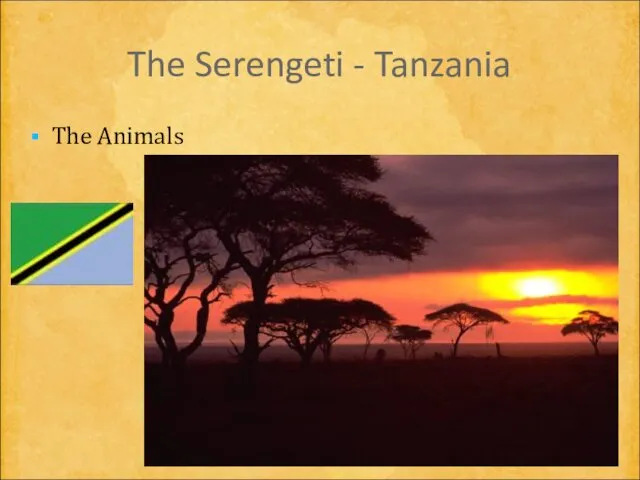
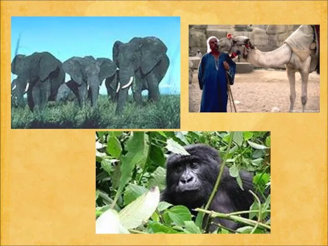
- 9. The Serengeti - Tanzania The Animals
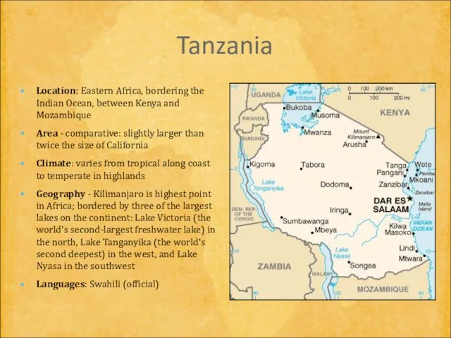
- 10. Tanzania Location: Eastern Africa, bordering the Indian Ocean, between Kenya and Mozambique Area - comparative: slightly
- 14. The Republic of Ghana Location: Western Africa, bordering the Gulf of Guinea, between Cote d'Ivoire and
- 16. The Dogon of Mali
- 17. Mali Location: Western Africa, southwest of Algeria Area - comparative: slightly less than twice the size
- 19. South Africa Nelson Mandela, diamonds The name "diamond" comes from the Greek "adamas," meaning unconquerable. Made
- 20. South Africa Location: Southern Africa, at the southern tip of the continent of Africa Area: includes
- 22. Niger Western Africa, southeast of Algeria Area - comparative: lightly less than twice the size of
- 23. Nigeria Western Africa, bordering the Gulf of Guinea Area - comparative: lightly more than twice the
- 25. Dem Rep of Congo Location:Central Africa, northeast of Angola Area - comparative: slightly less than one-fourth
- 28. Скачать презентацию

More About Africa
Africa: Africa is the second-largest of the seven continents
More About Africa
Africa: Africa is the second-largest of the seven continents
Lakes: Africa's largest lake is Lake Victoria; it covers 26,836 square
Lakes: Africa's largest lake is Lake Victoria; it covers 26,836 square
The Sahara
The boundaries of the Sahara are the Atlantic Ocean on
The Sahara
The boundaries of the Sahara are the Atlantic Ocean on
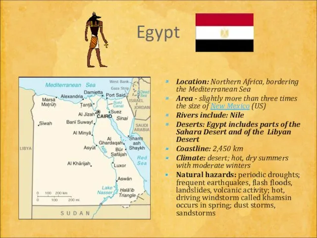
Egypt
Location: Northern Africa, bordering the Mediterranean Sea
Area - slightly more than
Egypt
Location: Northern Africa, bordering the Mediterranean Sea
Area - slightly more than
Egypt
Egypt
The Serengeti - Tanzania
The Animals
The Serengeti - Tanzania
The Animals
Tanzania
Location: Eastern Africa, bordering the Indian Ocean, between Kenya and Mozambique
Tanzania
Location: Eastern Africa, bordering the Indian Ocean, between Kenya and Mozambique


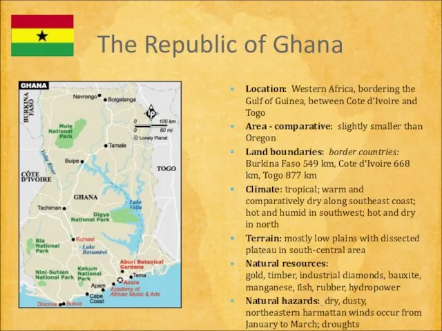
The Republic of Ghana
Location: Western Africa, bordering the Gulf of Guinea,
The Republic of Ghana
Location: Western Africa, bordering the Gulf of Guinea,

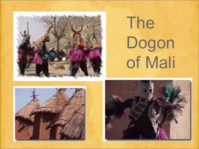
The Dogon of Mali
The Dogon of Mali
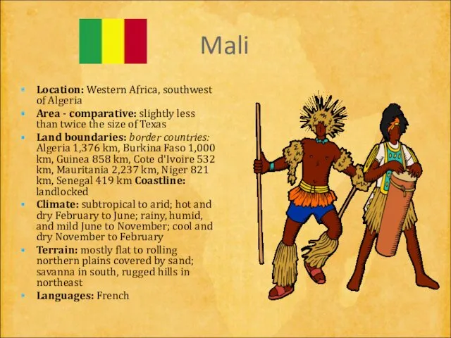
Mali
Location: Western Africa, southwest of Algeria
Area - comparative: slightly less
Mali
Location: Western Africa, southwest of Algeria
Area - comparative: slightly less

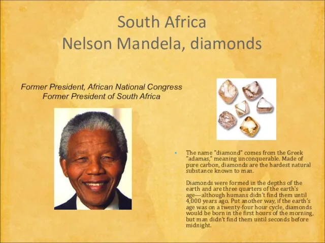
South Africa
Nelson Mandela, diamonds
The name "diamond" comes from the Greek "adamas,"
South Africa
Nelson Mandela, diamonds
The name "diamond" comes from the Greek "adamas,"
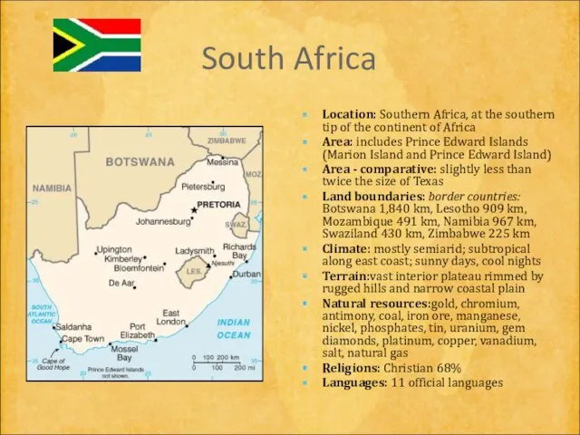
South Africa
Location: Southern Africa, at the southern tip of the continent
South Africa
Location: Southern Africa, at the southern tip of the continent

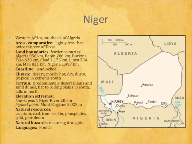
Niger
Western Africa, southeast of Algeria
Area - comparative: lightly less than
Niger
Western Africa, southeast of Algeria
Area - comparative: lightly less than
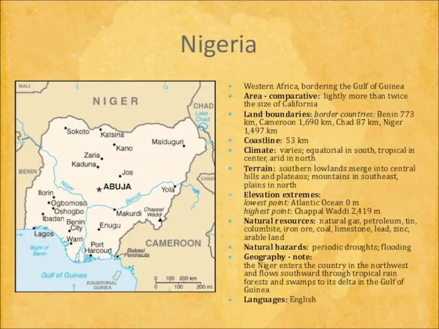
Nigeria
Western Africa, bordering the Gulf of Guinea
Area - comparative: lightly more
Nigeria
Western Africa, bordering the Gulf of Guinea
Area - comparative: lightly more

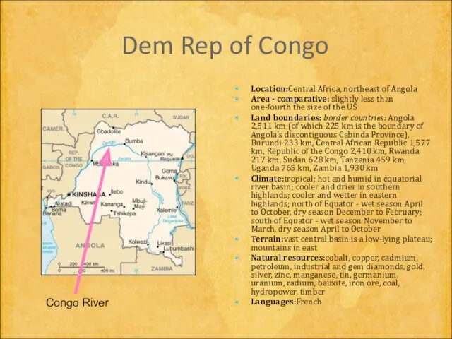
Dem Rep of Congo
Location:Central Africa, northeast of Angola
Area - comparative:
Dem Rep of Congo
Location:Central Africa, northeast of Angola
Area - comparative:

 По странам и континентам. Викторина для любознательных
 Страны-соседи. Румыния
 Қашықтықтан зондтау әдісінің даму тарихы
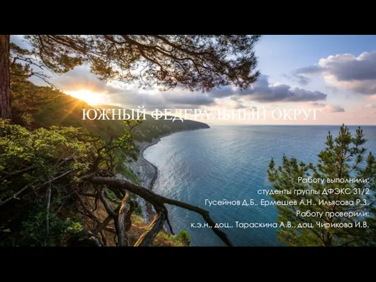 Южный федеральный округ
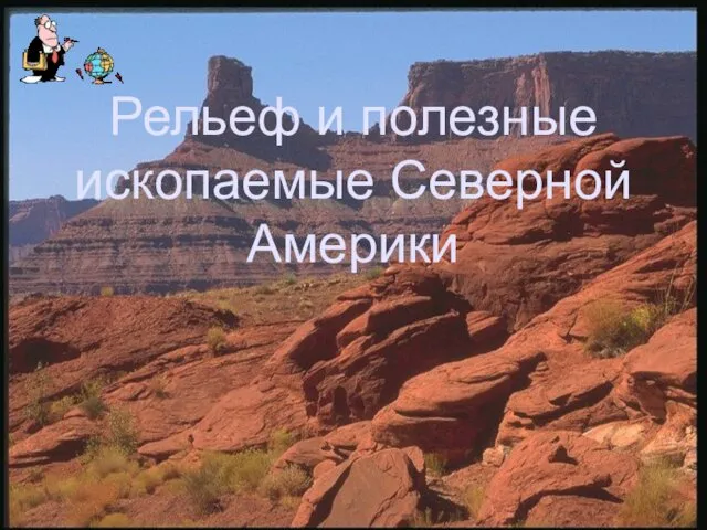 Рельеф и полезные ископаемые Северной Америки
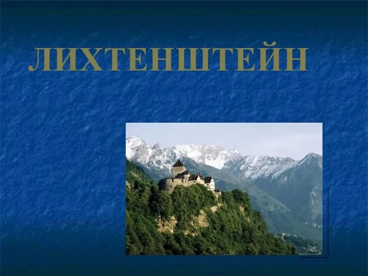 Лихтенштейн
 Озера Кольского края
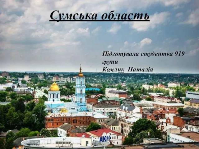 Сумська область
 Ландшафти України
 Географическое положение России
 Население и страны Северной Америки
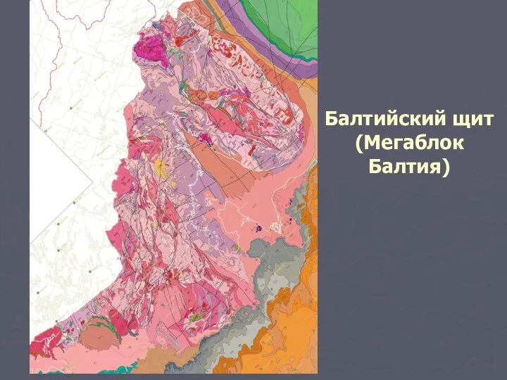 Балтийский щит. (Лекция 4)
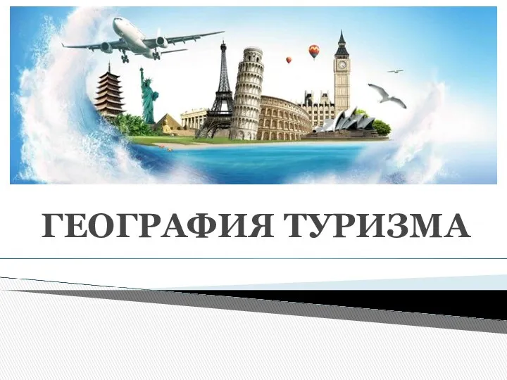 География туризма
 План местности. Условные знаки
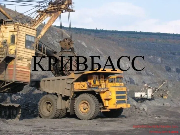 Кривбасс. Криворожский железорудный бассейн
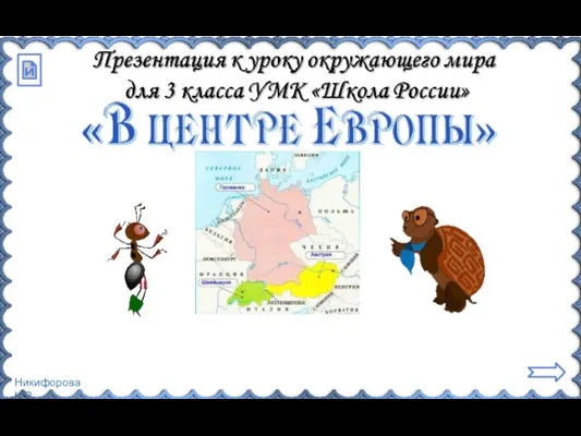 В центре Европы. 3 класс
 Географические открытия
 Путешествие тучки по Европе (Италия)
 Европа меняющаяся
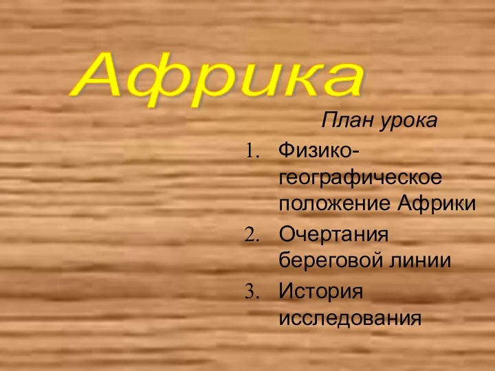 Физикогеографическое положение Африки. Очертания береговой линии. История исследования
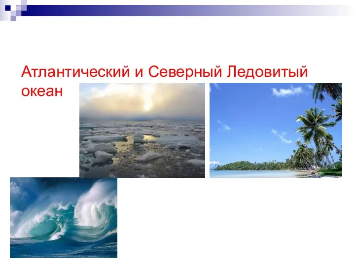 Атлантический и Северный Ледовитый океан
 Санкт-Петербург
 Найкращі парки світу
 Города мира. Дюссельдорф
 Волгоградская область
 Системносинергетическая концепция — методологическая основа ландшафтоведения
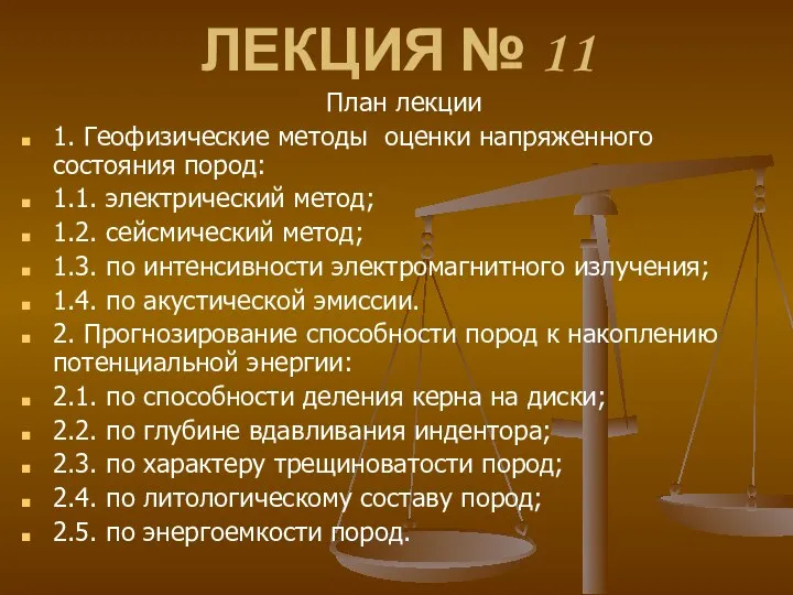 Геофизические методы оценки напряженного состояния пород. Лекция 11
 Китайська Народна Республіка