Слайд 2
Слайд 3
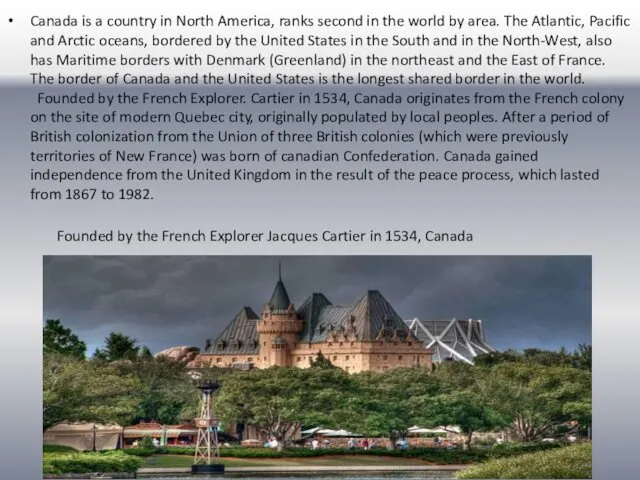
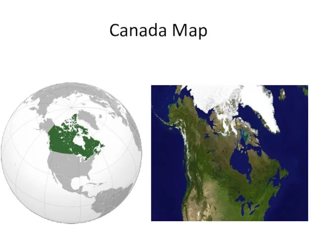
Canada is a country in North America, ranks second in the
world by area. The Atlantic, Pacific and Arctic oceans, bordered by the United States in the South and in the North-West, also has Maritime borders with Denmark (Greenland) in the northeast and the East of France. The border of Canada and the United States is the longest shared border in the world. Founded by the French Explorer. Cartier in 1534, Canada originates from the French colony on the site of modern Quebec city, originally populated by local peoples. After a period of British colonization from the Union of three British colonies (which were previously territories of New France) was born of canadian Confederation. Canada gained independence from the United Kingdom in the result of the peace process, which lasted from 1867 to 1982.
Founded by the French Explorer Jacques Cartier in 1534, Canada
Слайд 4
Geographical data
Canada occupies most of Northern North America. 75% of the
territory area of the North. Canada has a common land border with the United States in the South and in the North-West (between Alaska and Yukon) and is located from the Atlantic ocean in the East to the Pacific on the West and the Arctic ocean to the North of the country. It also has a Maritime border with France (Saint Pierre and Miquelon) and Denmark (Greenland). Since 1925, Canada owns part of the Arctic between 60 W. D. and 141. D., however, these properties are not universally accepted. The northernmost settlement in Canada and in the world is at Alert (Nunavut), Canadian forces at the Northern tip of Ellesmere island (82.5 per sec. sh. in 834 km — 450 nautical miles — from the North pole). Canada is the second largest on the territory of the countries of the world.
The population density (about 3.5 people per 1 km2) is one of the lowest in the world. The most populated region of the country — the corridor Quebec city-Windsor along the lowland banks of the river St. Lawrence and the South-East of the Great lakes. To the North of this region is a vast Canadian shield, a rocky region, cleared the last glacial perio-house, devoid of fertile land, rich in minerals, lakes and rivers. Canada has more lakes than any other country in the world, it has a great supply of fresh water.
Слайд 5
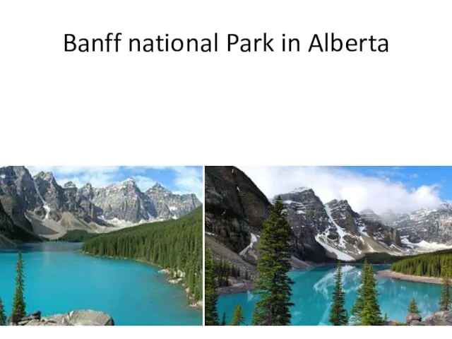
Banff national Park in Alberta
Слайд 6
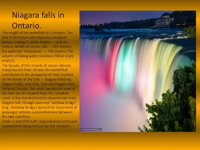
Niagara falls in Ontario.
The height of the waterfalls is 53 meters.
The foot of American falls obscures a heap of stones, making it visible height — only 21 meters. Width American falls — 323 meters, the waterfall "Horseshoe" — 792 meters. The volume of falling water reaches 5700 or more m3/s[2].
The beauty of this miracle of nature attracts many tourists from all over the world that contributes to the prosperity of cities located on the banks of the falls — Niagara falls(eng. Niagara Falls), new York, USA and Niagara falls, Ontario, Canada. The most spectacular view of the falls can be enjoyed from the canadian coast. A few hundred meters downstream from Niagara falls through spanned "rainbow bridge" (eng. Rainbow Bridge) opened for movement of passenger vehicles and pedestrians between the two countries.
Under a waterfall built гидроэлектростанции суммарной мощностью до 4,4 гигаватт.
Слайд 7
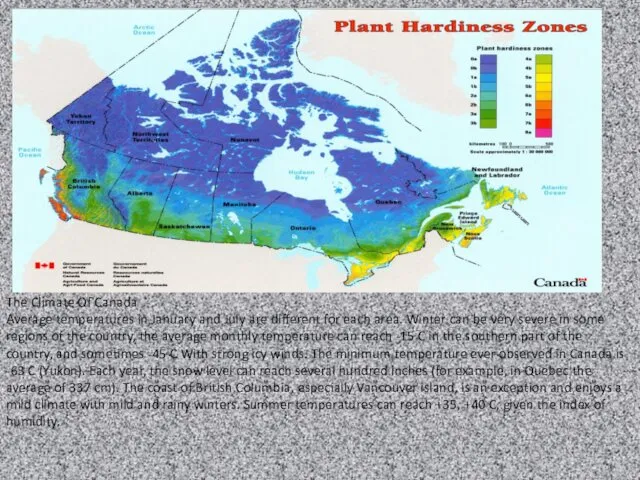
The Climate Of Canada
Average temperatures in January and July are different
for each area. Winter can be very severe in some regions of the country, the average monthly temperature can reach -15 C in the southern part of the country, and sometimes -45 C With strong icy winds. The minimum temperature ever observed in Canada is -63 C (Yukon). Each year, the snow level can reach several hundred inches (for example, in Quebec the average of 337 cm). The coast of British Columbia, especially Vancouver island, is an exception and enjoys a mild climate with mild and rainy winters. Summer temperatures can reach +35, +40 C, given the index of humidity.

 Как зарождалась география
 Населення Південної Америки
 География в эпоху Средневековья на Руси
 Әлемдегі халқы тығыз орналасқан қалалар Топ - 10
 симонова южная сибирь
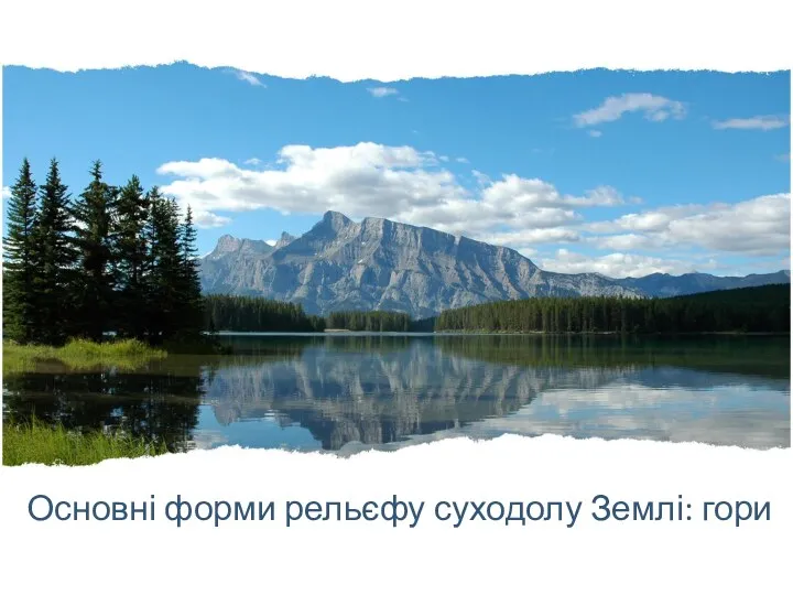 Форми рельєфу суходолу Землі: гори
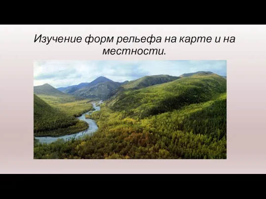 Изучение форм рельефа на карте и на местности
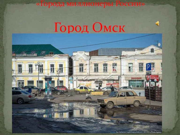 Город Омск
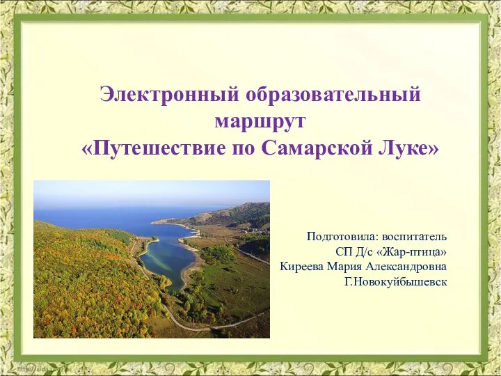 Самарская Лука
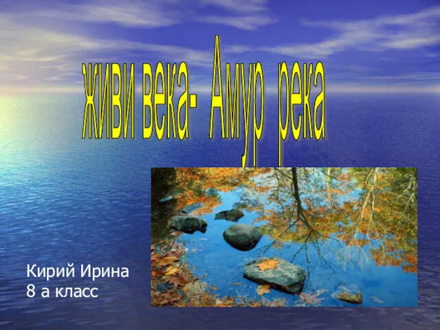 Река Амур
 Історія виникнення і розвитку топографії і картографії
 Конкурс методических разработок Лучший географический диктант, Цифровой геодиктант 7 класс. Гидросфера
 Внутренние воды: озера, болота, подземные воды, ледники, многолетняя мерзлота
 Възможности за опазване на чистотата на природните води в Сливенския район
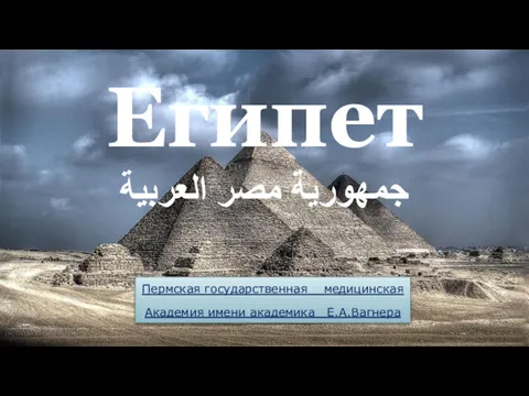 Египет
 Страна Швейцария
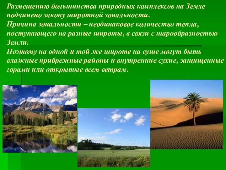 Размещению большинства природных комплексов на Земле подчинено закону широтной зональности
 Боливарианская Республика Венесуэла
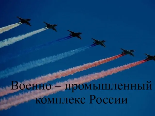 Военно-промышленный комплекс России
 Карликовые государства Европы
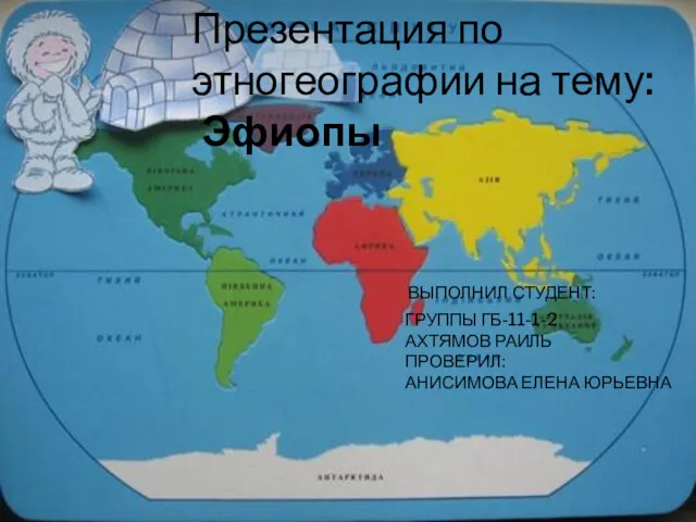 Эскимосы (интуиты)
 Практическая работа Работа с картами 5 класс
 Евразия. Народы. Страны. 7 класс
 Масштаб. Виды масштаба
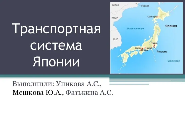 Транспортная система Японии
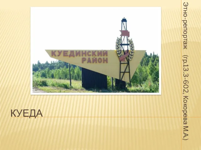 Куеда. Этно-репортаж
 Что внутри планеты Земля
 Köller