- Geographical position of the USA

Содержание
- 2. Plan 1. Geographical position and general characteristics 2. Climate 3. Mountains 4. Table lands, plains and
- 3. 5. Water resources 6. Mineral resources 7. National parks 8. Administrative and regional division
- 4. The USA is the fourth largest nation in the world. The United States of America is
- 5. The land in the United States of America varies from heavy forests covering 2,104 million hectares,
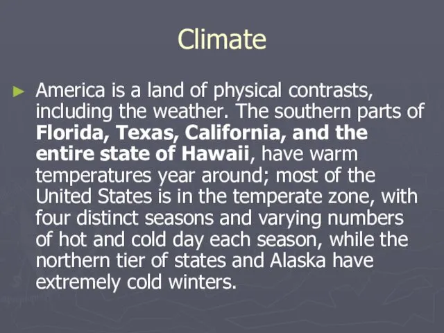
- 6. Climate America is a land of physical contrasts, including the weather. The southern parts of Florida,
- 7. Mountains The biggest mountains in the USA are the Rocky Mountains, the Appalachian Mountains, the Cascade
- 8. The Coast Ranges lie west of the Pacific valley at the edge of the Pacific Ocean.
- 9. Table lands, plains and lowlands Table lands, plains and lowlands are the Central Lowlands, the Colorado
- 10. Water resources The United States is also a land of bountiful rivers and lakes. The biggest
- 11. Mineral resources Underground, a wealth of minerals provides a solid base for American industry. America`s yearly
- 12. National parks The frontier experience of moving westward and breaking new ground gave Americans several traditions.
- 13. More recently, agricultural researchers have developed a method of planting without plowing. Known as conservation tillage,
- 14. Administrative and regional division One common grouping creates six regions. They are: New England, made up
- 15. The South, which runs from Virginia south to Florida and then west as far as central
- 16. The Midwest, a broad collection of states sweeping westward from Ohio to Nebraska and southward from
- 18. Скачать презентацию
Plan
1. Geographical position and general characteristics
2. Climate
3. Mountains
4. Table lands, plains
Plan
1. Geographical position and general characteristics
2. Climate
3. Mountains
4. Table lands, plains
5. Water resources
6. Mineral resources
7. National parks
8. Administrative and regional division
5. Water resources
6. Mineral resources
7. National parks
8. Administrative and regional division

The USA is the fourth largest nation in the world. The
The USA is the fourth largest nation in the world. The
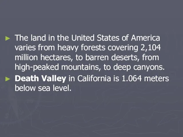
The land in the United States of America varies from heavy
The land in the United States of America varies from heavy
Climate
America is a land of physical contrasts, including the weather. The
Climate
America is a land of physical contrasts, including the weather. The

Mountains
The biggest mountains in the USA are the Rocky Mountains, the
Mountains
The biggest mountains in the USA are the Rocky Mountains, the

The Coast Ranges lie west of the Pacific valley at the
The Coast Ranges lie west of the Pacific valley at the

Table lands, plains and lowlands
Table lands, plains and lowlands are the
Table lands, plains and lowlands
Table lands, plains and lowlands are the
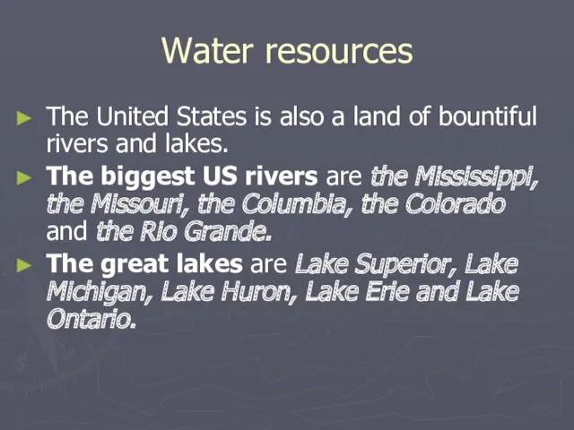
Water resources
The United States is also a land of bountiful rivers
Water resources
The United States is also a land of bountiful rivers

Mineral resources
Underground, a wealth of minerals provides a solid base for
Mineral resources
Underground, a wealth of minerals provides a solid base for
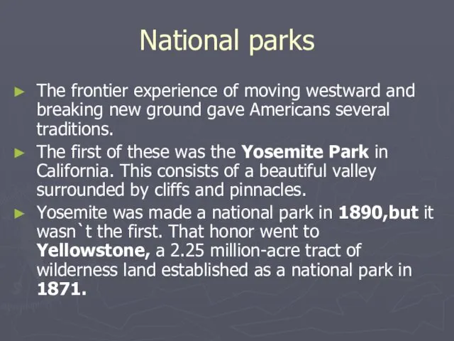
National parks
The frontier experience of moving westward and breaking new ground
National parks
The frontier experience of moving westward and breaking new ground
More recently, agricultural researchers have developed a method of planting without
More recently, agricultural researchers have developed a method of planting without
Administrative and regional division
One common grouping creates six regions.
They are:
New England,
Administrative and regional division
One common grouping creates six regions.
They are:
New England,
The South, which runs from Virginia south to Florida and then
The South, which runs from Virginia south to Florida and then
The Midwest, a broad collection of states sweeping westward from Ohio
The Midwest, a broad collection of states sweeping westward from Ohio
 Зовнішні процеси, що змінюють земну кору
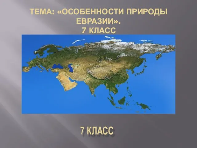 Особенности природы Евразии. 7 класс
 Нижегородская область Кстовский район
 Моя малая родина - Чебоксары
 Региональная гидрогеология
 Военная топография. Мосты и переправы. Виды переправ и их назначение
 Tropical forests
 Великобритания
 Островная Арктика
 Әлемдік мұхит әнімділік аймақтарының орналасуы
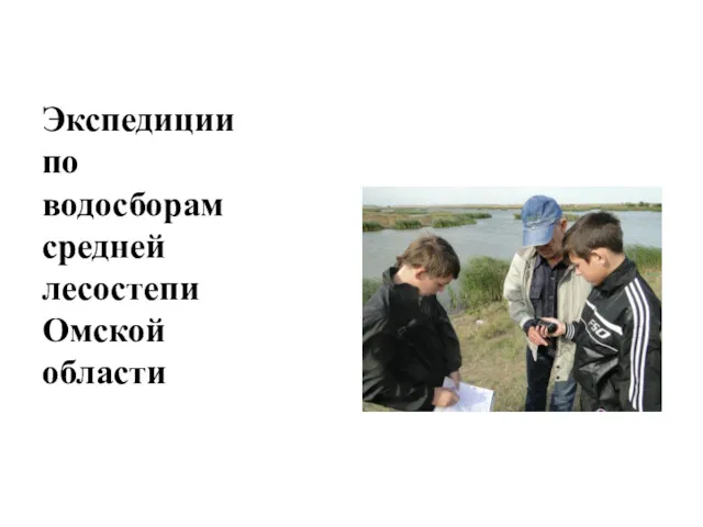 Экспедиции по водосборам средней лесостепи Омской области
 Челябинская область, как субъект Российской Федерации
 20230922_geografiya_v_drevnosti
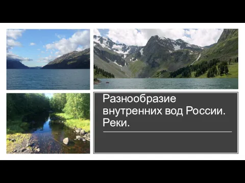 Разнообразие внутренних вод России. Реки
 Еуразияның табиғат зоналары (субэкваторлық, экваторлық, биіктік белдеулігі)
 Географические открытия 17 - 19 веков
 Соединенное Королевство Великобритании и Северной Ирландии
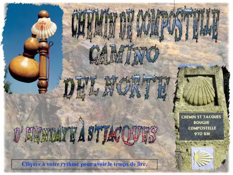 Chemin de Compostelle del. Norte
 Центральная Россия
 Закономерности развития биосферы. Целостность географической оболочки
 Изучение пресных водоемов
 Топонимика Донбасса
 Қытай Халық Республикасы
 Крымские горы
 Геологічні дослідження околиць села Подвірне
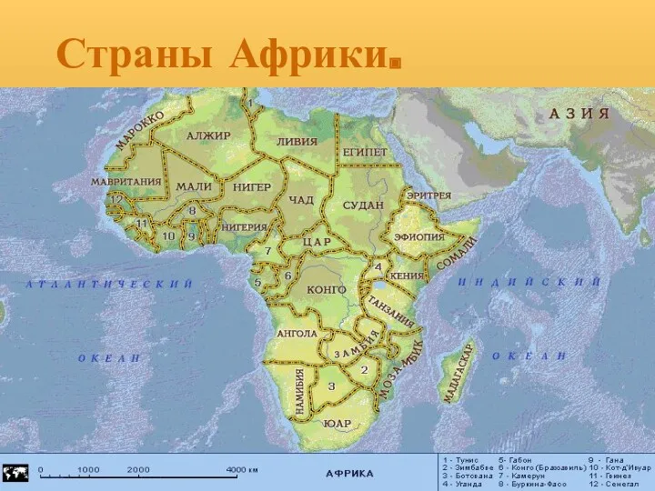 Страны Африки
 Місто Запоріжжя
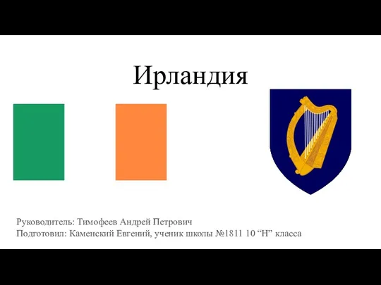 Республика Ирландия