(pre-field study)
6
months
24 months
6 months
4 seasons of field works (3 months each)
Office processing of the materials obtained during field works
Compilation of the preliminary Geological Map at a scale 1:100 000 over the area of 26 000 sq km.
Laboratory and analytical studies
Office work in RF (final stage)
Work types:
Deliverables:
Knowledge database for the Rio territory
Promising areas location map in accordance with data of previous works Preliminary geological legend to the maps (1:200 000).
Space photogeological maps on the scale (1:200 000)
Scheme of geological and geophysical zoning (1:500 000).
Technical project for implementation of work under the Contract.
Maps of actual materials
Sampling logbook: heavy mineral and lithochemical samples, and results of analyses.
Bed rock sampling logbook
Preliminary geological working map on the scale 1:100 000 for the area of 26 000 sq km
Geological documentation on ground-based verification of airborne geophysical anomalies and prospecting and checking activities
Geological Map on the scale 1:200 000 of the Republic of Equatorial Guinea, Map of Minerals on the scale 1:200 000
Map of Trends of Location and Forecast of Mineral Occurrence (1:200 000)
Explanatory Notes to the Geological Map, the Map of Minerals, and the Map of Trends of Location and Forecast of Mineral Occurrence
Prospecting activities of the next project

 Великий круговорот жизни. Круговорот воды в природе
 Геометрическое нивелирование
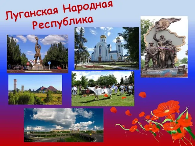 Луганская Народная Республика
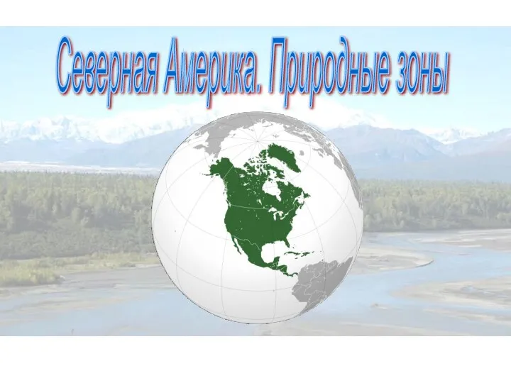 Северная Америка. Природные зоны
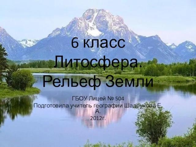 Литосфера. Рельеф Земли. 6 класс
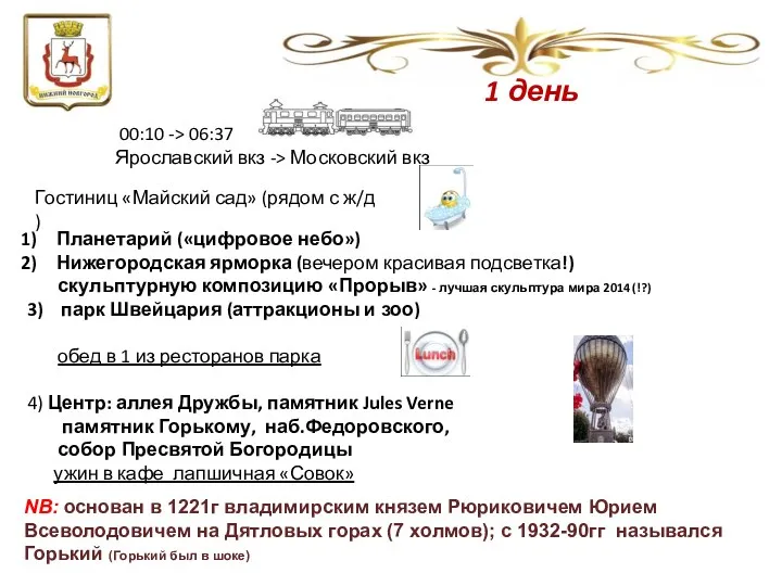 Нижний Новгород
 Тмпы климата России. Урок географии в 8 классе
 Реки. Значение рек. Охрана
 Тундровые почвы
 Топливная промышленность России
 Пустынные зоны тропических поясов
 Архейська ера
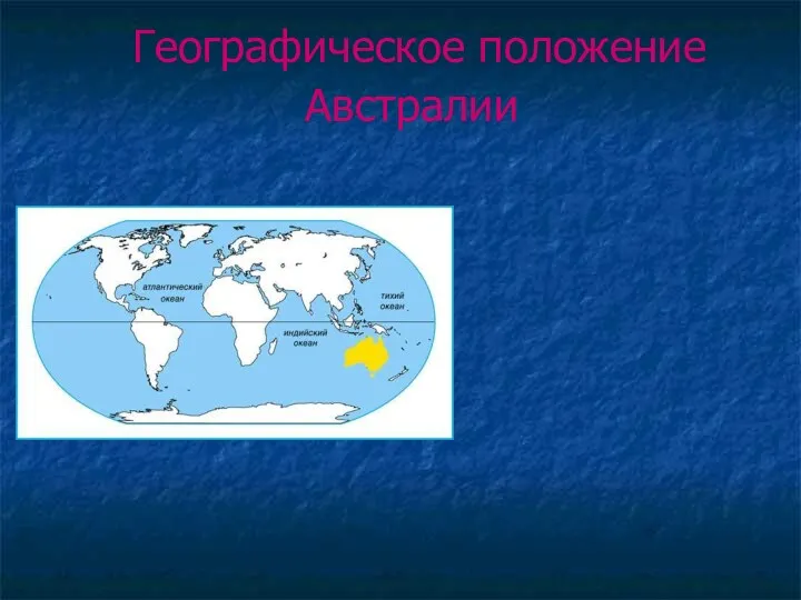 Географическое положение Австралии
 Климатообразующие факторы. Климат России
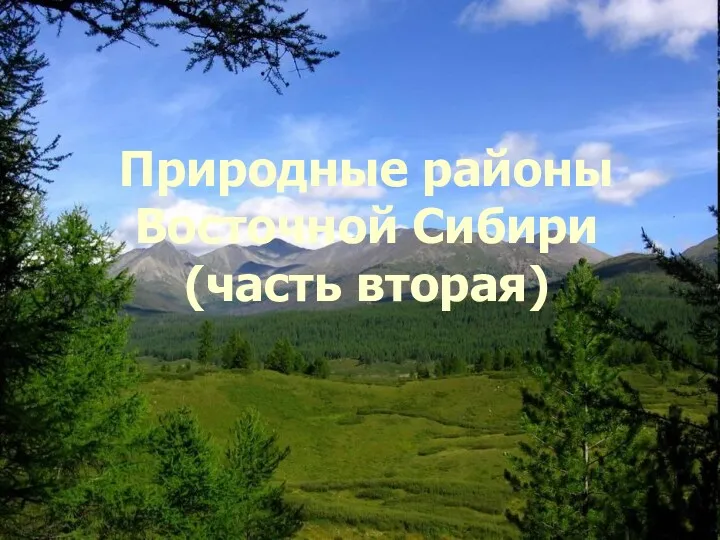 Природные районы Восточной Сибири. (Часть 2)
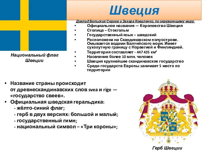 Швеция
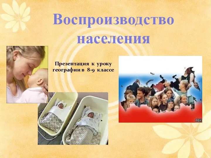 Воспроизводство населения. Естественный прирост, его виды
 Откуда берутся снег и лед
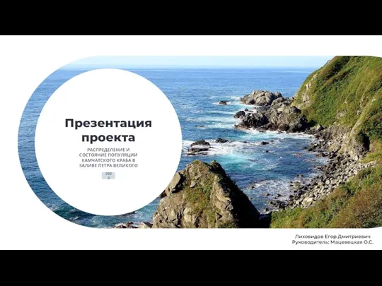 Распределение и состояние популяции Камчатского краба в заливе Петра Великого
 Воздушная оболочка Земли: газовый состав, строение и значение атмосферы
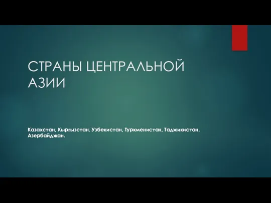 Страны Центральной Азии. Казахстан, Кыргызстан, Узбекистан, Туркменистан, Таджикистан, Азербайджан
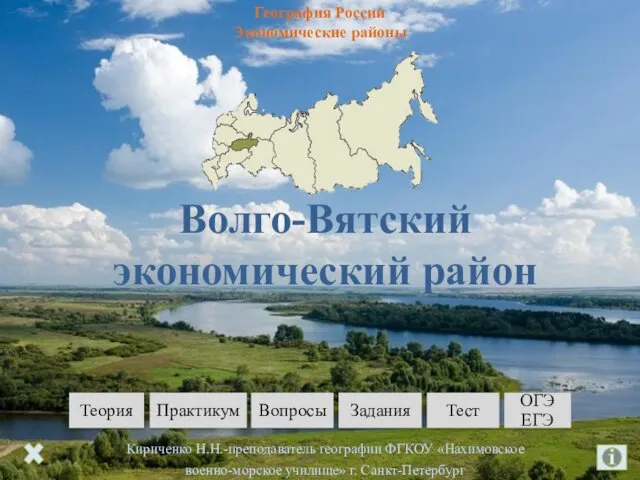 Волго-Вятский экономический район
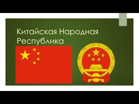 Китайская Народная Республика
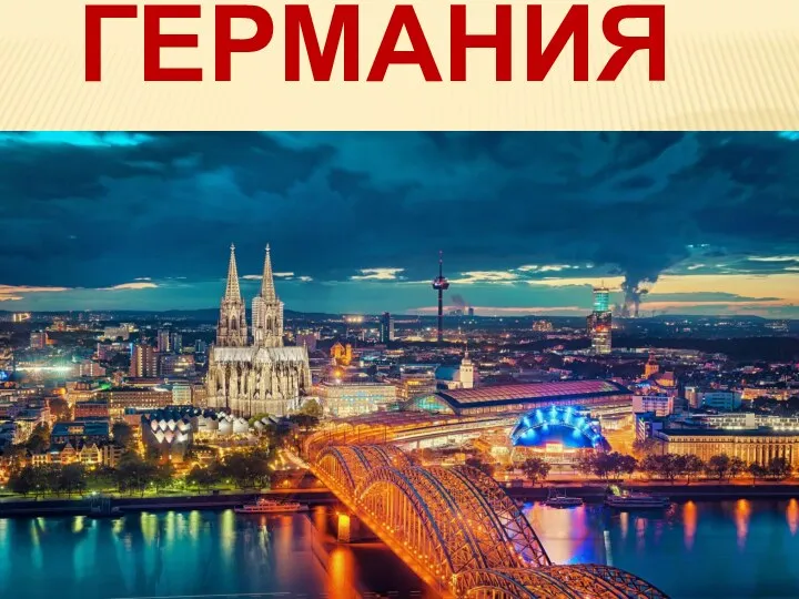 Республика Германия
 Презентация по географии США
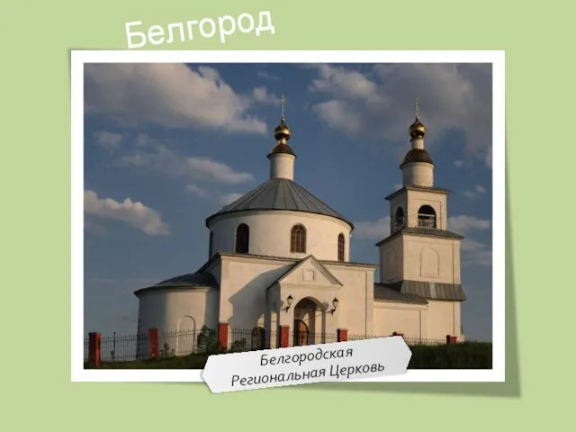 Белгород. Достопримечательности
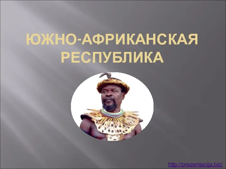 Южно-африканская республика
 Озеро Карасьяр