- The geographical position of Great Britain

Содержание
- 2. British Islands Rivers and lakes Mountains Of large cities England Scotland
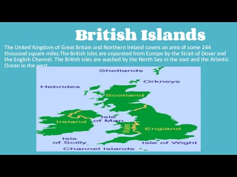
- 3. British Islands The United Kingdom of Great Britain and Northern Ireland covers an area of some
- 4. Rivers and lakes
- 5. Mountains Scotland is a land of mountains. Grampians Ben Nevis
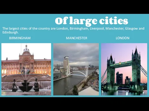
- 6. Of large cities The largest cities of the country are London, Birmingham, Liverpool, Manchester, Glasgow and
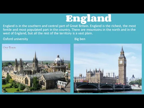
- 7. England England is in the southern and central part of Great Britain. England is the richest,
- 9. Скачать презентацию
British Islands
Rivers and lakes
Mountains
Of large cities
England
Scotland
British Islands
Rivers and lakes
Mountains
Of large cities
England
Scotland
British Islands
The United Kingdom of Great Britain and Northern
British Islands
The United Kingdom of Great Britain and Northern
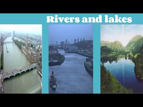
Rivers and lakes
Rivers and lakes
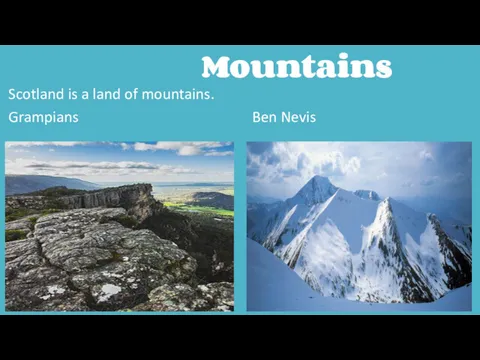
Mountains
Scotland is a land of mountains.
Grampians Ben Nevis
Mountains
Scotland is a land of mountains.
Grampians Ben Nevis
Of large cities
The largest cities of the country are London,
Of large cities
The largest cities of the country are London,
England
England is in the southern and central part of Great
England
England is in the southern and central part of Great
 Своя игра. Спорт. Числа и игрушки. Профессия. Грамматика
 Reading and writing
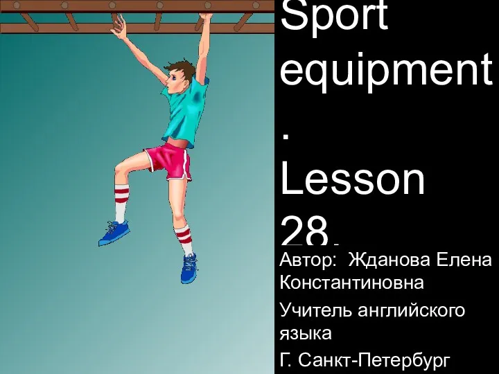 Sport equipment
 My personality and choice of future profession
 Halloween
 Managing challenging feedback
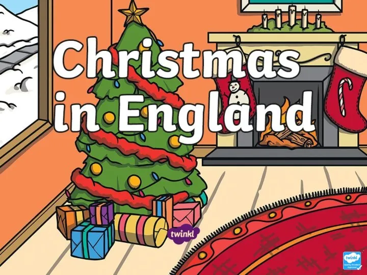 Christmas in England
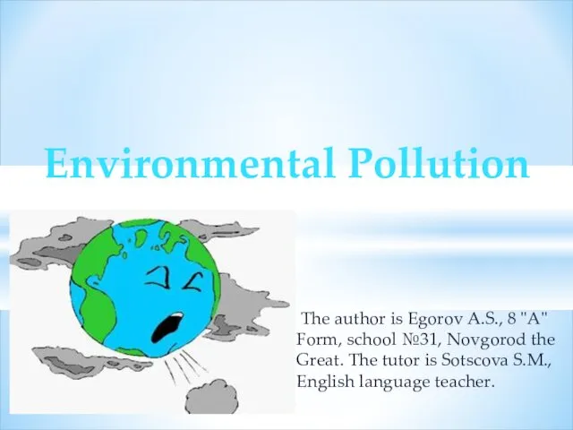 Environmental pollution
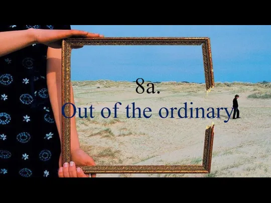 Out of the ordinary
 МЦКО Английский язык 2021
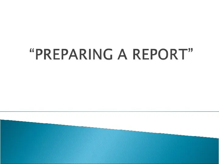 Preparing a report
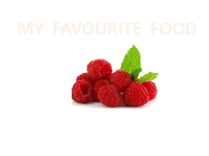 My favourite food
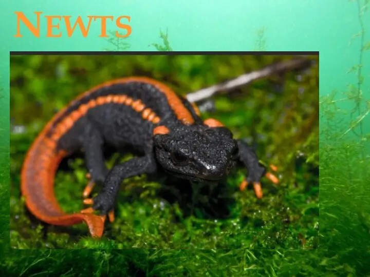 Newts
Newts Random questions. What is where
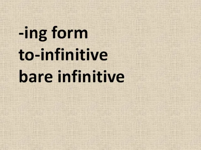 -ing form, to-infinitive, bare infinitive
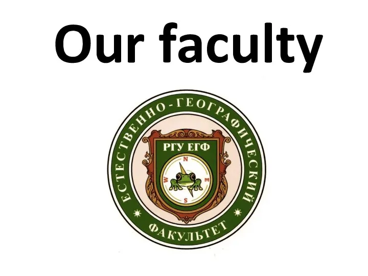 Our faculty
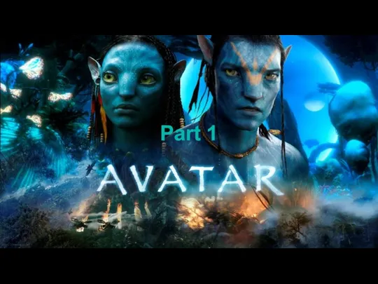 Avatar. About film
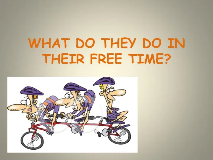 What do they do in their free time
 BMW is a German automobile, motorcycle and engine manufacturing company
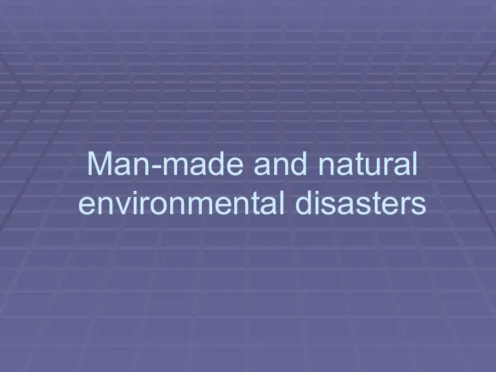 Man-made and natural environmental disasters
 Device of the future. Oculus rift
 Порядок слов в предложении. Общий вопрос. Специальный вопрос. Закрепление
 FIFA 2018
 Present continuous
 Moscow is the capital of Russia
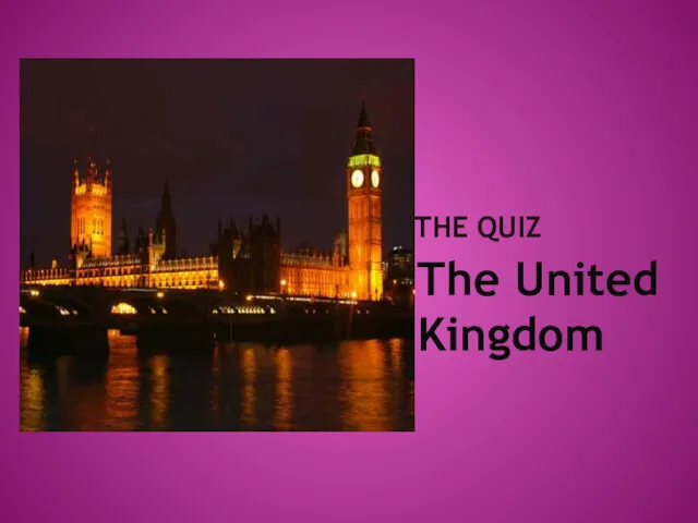 The United Kingdom
 Speaking tasks for intermediate oral exams
 All About Pancake Day