- Atyrau region

Содержание
- 2. Atyrau-the oil capital of Kazakhstan There are 7 districts, 2 cities, 2 settlements and 56 rural
- 3. Akim of the region of Atyrau: Nogayev Nurlan Askarovich
- 4. Atyrau region is bordered in the west with Astrakhan region of Russia, north and northeast of
- 5. The major rivers flowing through the region are the Urals (total length 2428 km, within Kazakhstan
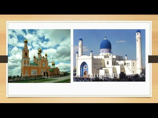
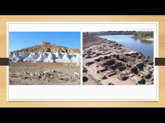
- 6. All places of interest in Atyrau are sights with a rich history. They are located both
- 7. In 2001, a pedestrian bridge was built across the Ural River in Atyrau. The bridge is
- 12. Скачать презентацию
Atyrau-the oil capital of Kazakhstan
There are 7 districts, 2 cities, 2
Atyrau-the oil capital of Kazakhstan
There are 7 districts, 2 cities, 2
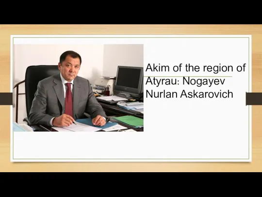
Akim of the region of Atyrau: Nogayev Nurlan Askarovich
Akim of the region of Atyrau: Nogayev Nurlan Askarovich
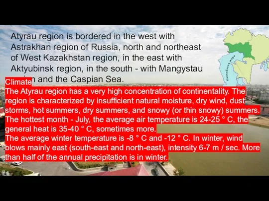
Atyrau region is bordered in the west with Astrakhan region of
Atyrau region is bordered in the west with Astrakhan region of
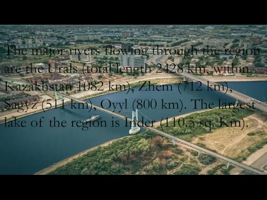
The major rivers flowing through the region are the Urals (total
The major rivers flowing through the region are the Urals (total
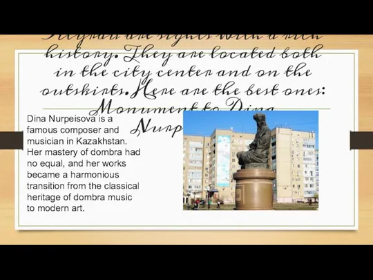
All places of interest in Atyrau are sights with a rich
All places of interest in Atyrau are sights with a rich
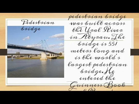
In 2001, a pedestrian bridge was built across the Ural River
In 2001, a pedestrian bridge was built across the Ural River
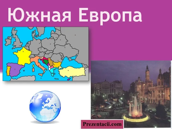 Южная Европа
 Австрия
 Западная Сибирь. 8 класс
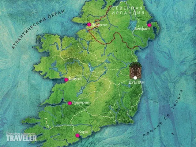 Республика Ирландия
 Современные тенденции развития туризма в мире
 Особенности природы материков
 Табиғаттағы су айналымы
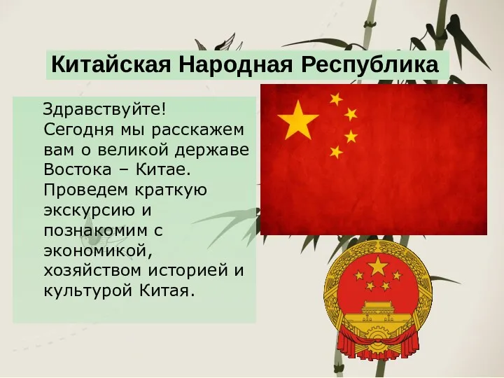 Китайская Народная Республика
 Реки в природе и на географической карте
 Географические характеристики регионов России
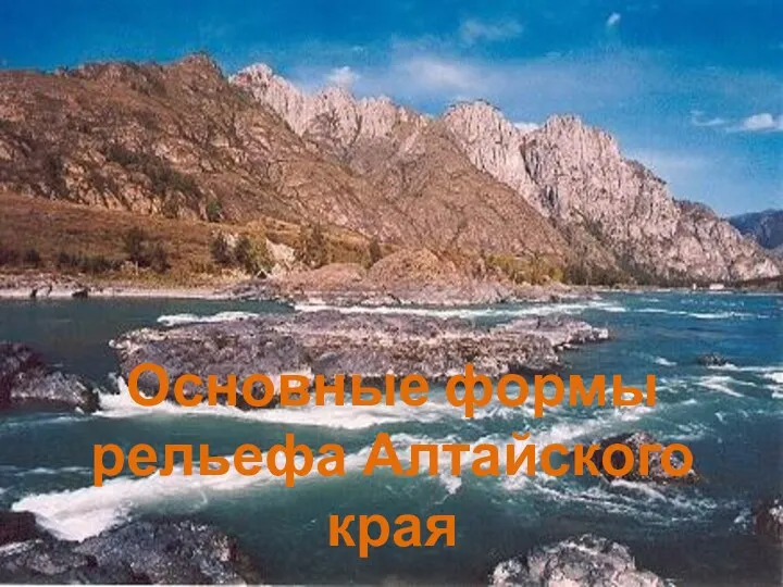 Основные формы рельефа Алтайского края
 Золотые горы Алтая
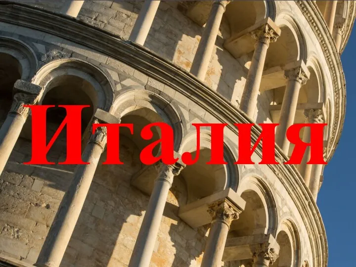 Италия Республикасы
 Редкие растения Австралии
 Ciudad en España Valencia
 Общая схема почвообразовательного процесса
 Своя игра по географии. 7 класс
 Чёрное море и его обитатели
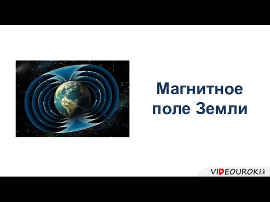 Магнитное поле Земли
 Исследование возможности применения персональных навигационных приборов при выполнении кадастровых работ
 Гідросфера
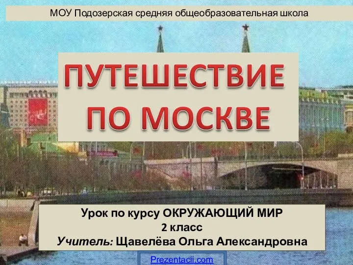 Путешествие по Москве
 Экскурсионная прогулка Вологда – сердце Северной Фиваиды
 Relyef
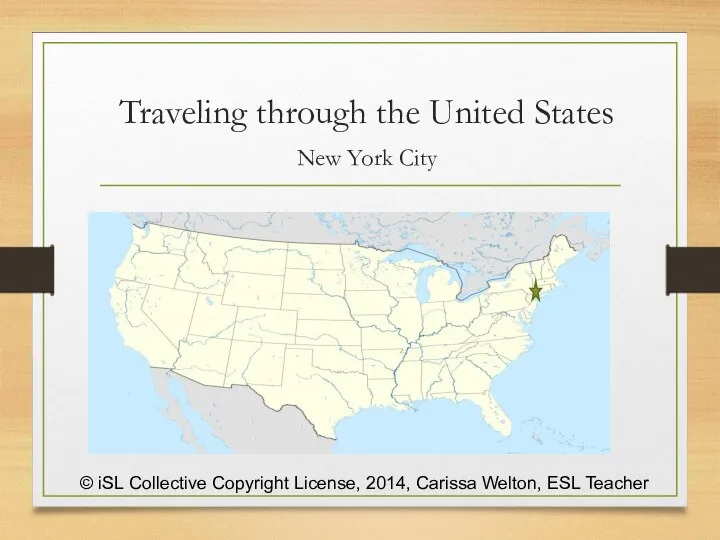 Traveling through the United States New York City
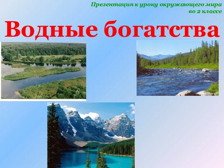 Водные богатства. 2 класс
 География - как наука
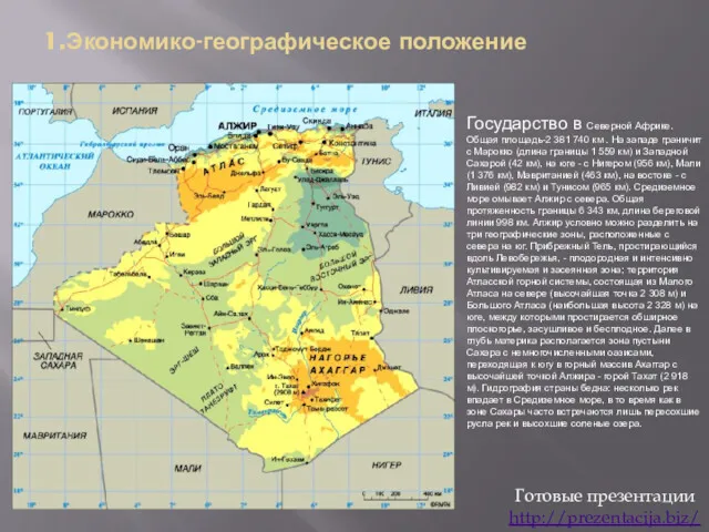 Алжир. Экономико-географическое положение