- The Earth as a Rotating Planet. The Shape of the Earth

Содержание
- 2. The Shape of the Earth The Earth assumes the shape of an oblate ellipsoid because it
- 3. Earth Rotation Earth rotation refers to the counter-clockwise turning of the Earth on its axis (imaginary
- 5. The Geographic Grid Parallels and Meridians The geographic grid is a spherical coordinate system (set of
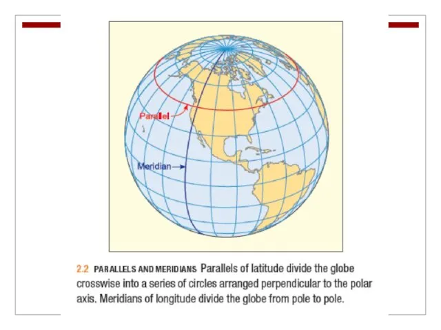
- 6. The Geographic Grid Parallels are a set of circles arranged perpendicular to the axis of rotation
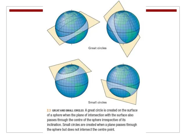
- 8. The Geographic Grid Great circles are constructed so that the plane of intersection with the surface
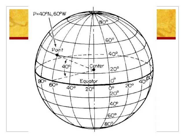
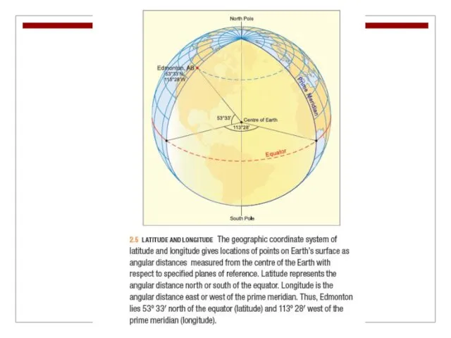
- 10. The Geographic Grid Latitude and Longitude The equator is the only great circle parallel and is
- 12. The Geographic Grid By international convention the meridian running through the Royal Observatory in Greenwich, England,
- 13. The Geographic Grid For greater precision, degrees of latitude and longitude can be subdivided into minutes
- 15. The Geographic Grid A Global Positioning System (GPS; 24 satellites at an altitude of 20,200 km)
- 17. Map Projections Because the Earth’s shape is nearly spherical, it is impossible to represent it on
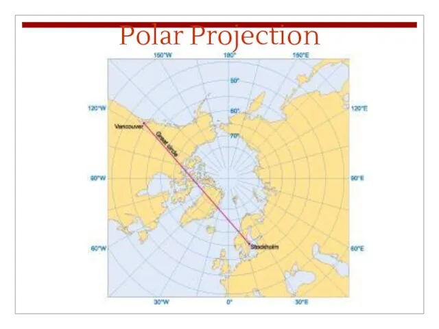
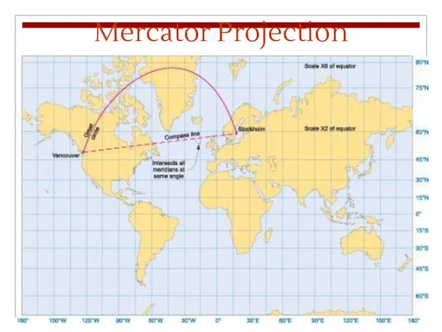
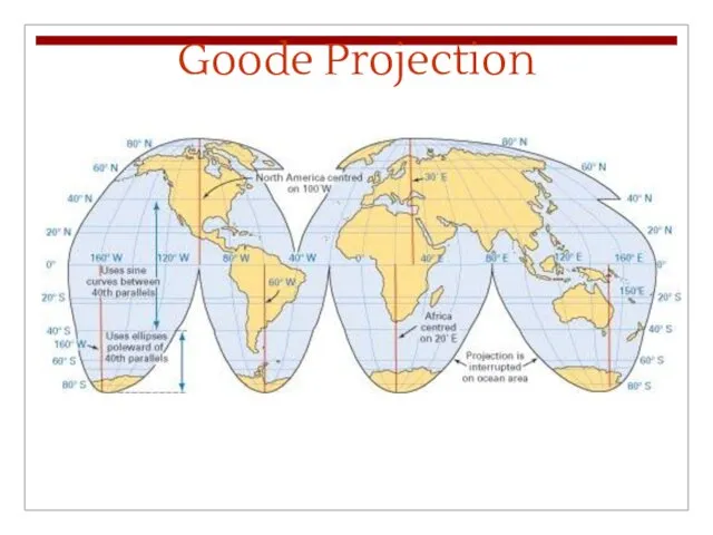
- 18. Map Projections The polar projection can be centred on either the North or South Pole. The
- 19. Polar Projection
- 20. Mercator Projection
- 21. Goode Projection
- 22. Global Time Global time systems, like map projections, are also derived from the geographic grid, but
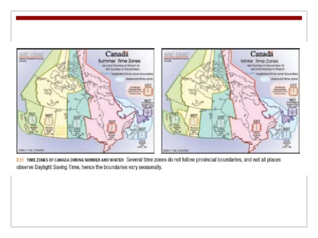
- 23. Global Time World Time Zones Identified according to the number of hours each time zone differs
- 25. Global Time Because of the historical importance of the Greenwich Observatory, world time was traditionally referenced
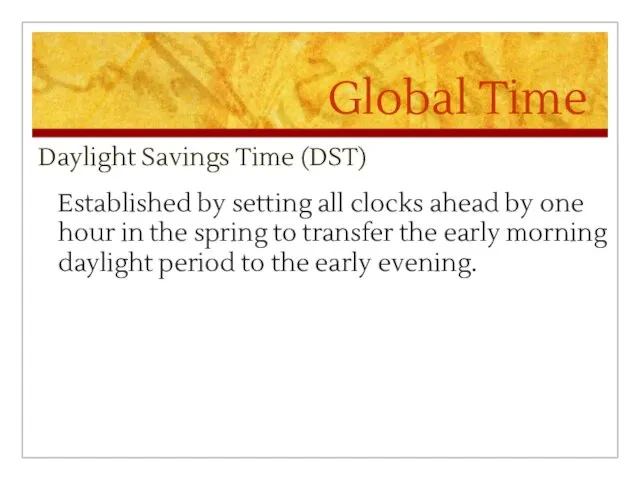
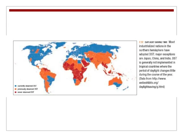
- 26. Global Time Daylight Savings Time (DST) Established by setting all clocks ahead by one hour in
- 29. Global Time International Date Line The 180th meridian serves as the International Date Line; calendars advance
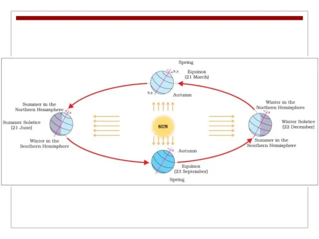
- 30. The Earth’s Revolution Around the Sun The orbital motion of the Earth around the sun is
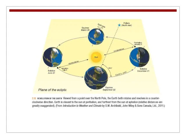
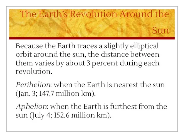
- 32. The Earth’s Revolution Around the Sun Because the Earth traces a slightly elliptical orbit around the
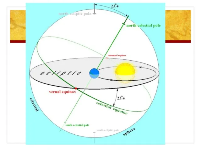
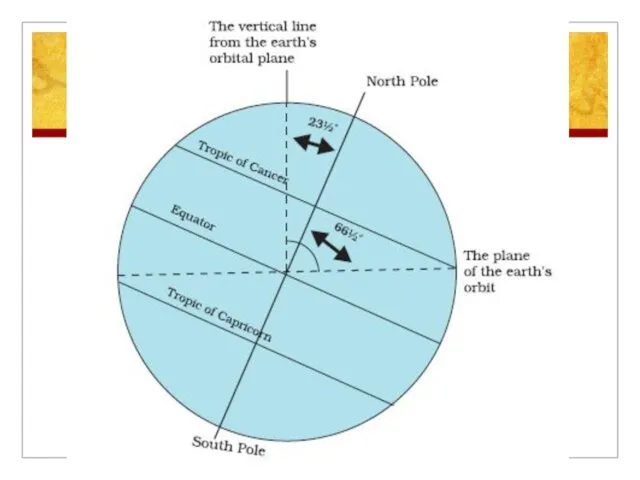
- 33. The Earth’s Revolution Around the Sun Tilt of the Earth’s Axis The Earth’s axis is tilted
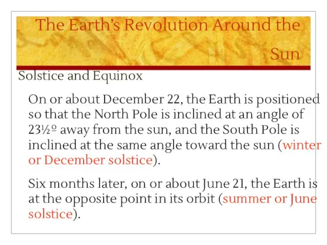
- 36. The Earth’s Revolution Around the Sun Solstice and Equinox On or about December 22, the Earth
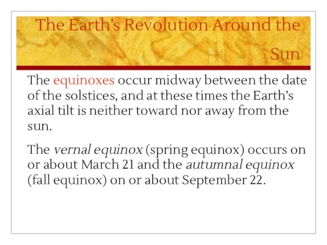
- 37. The Earth’s Revolution Around the Sun The equinoxes occur midway between the date of the solstices,
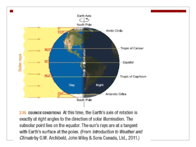
- 38. The Earth’s Revolution Around the Sun Equinox Conditions At the equinoxes the circle of illumination passes
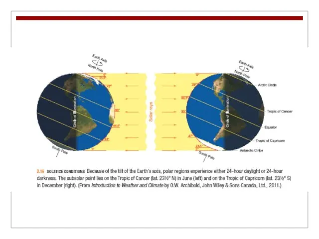
- 40. The Earth’s Revolution Around the Sun Solstice Conditions During both the June and December solstices the
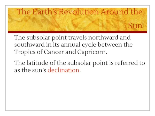
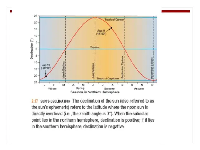
- 43. The Earth’s Revolution Around the Sun The subsolar point travels northward and southward in its annual
- 46. Скачать презентацию
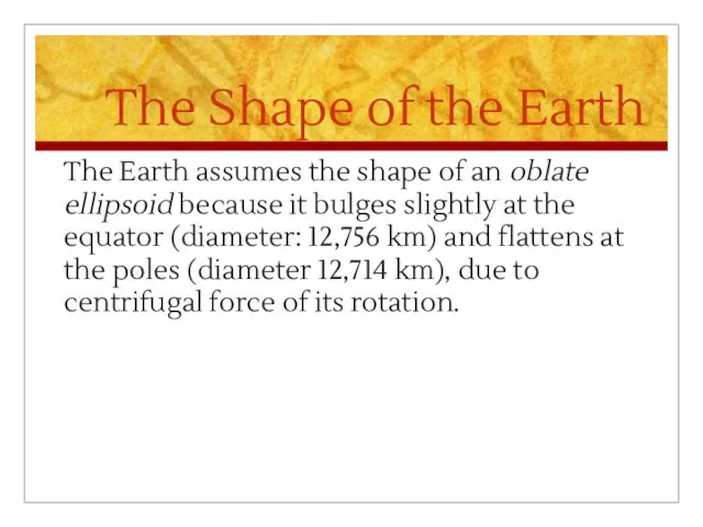
The Shape of the Earth
The Earth assumes the shape of an
The Shape of the Earth
The Earth assumes the shape of an
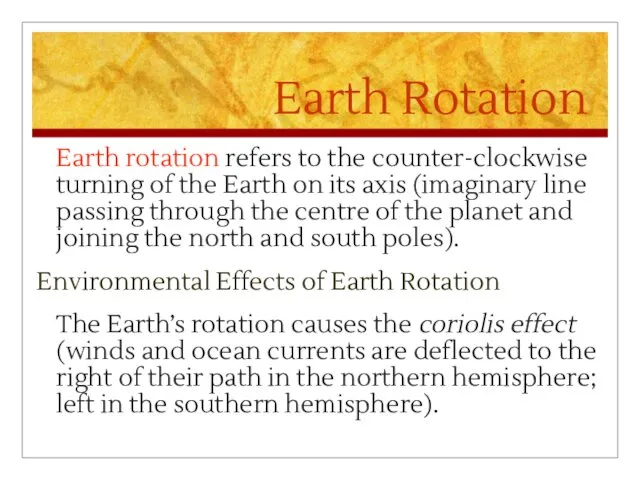
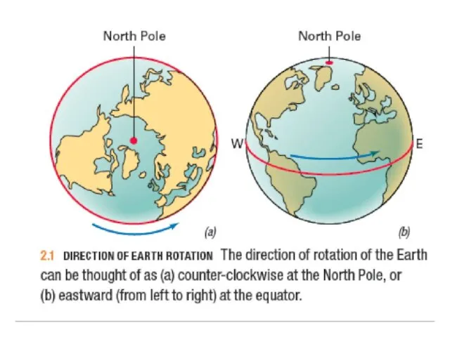
Earth Rotation
Earth rotation refers to the counter-clockwise turning of the Earth
Earth Rotation
Earth rotation refers to the counter-clockwise turning of the Earth
The Geographic Grid
Parallels and Meridians
The geographic grid is a spherical coordinate
The Geographic Grid
Parallels and Meridians
The geographic grid is a spherical coordinate
The Geographic Grid
Parallels are a set of circles arranged perpendicular to
The Geographic Grid
Parallels are a set of circles arranged perpendicular to
The Geographic Grid
Great circles are constructed so that the plane of
The Geographic Grid
Great circles are constructed so that the plane of
The Geographic Grid
Latitude and Longitude
The equator is the only great circle
The Geographic Grid
Latitude and Longitude
The equator is the only great circle
The Geographic Grid
By international convention the meridian running through the Royal
The Geographic Grid
By international convention the meridian running through the Royal
The Geographic Grid
For greater precision, degrees of latitude and longitude can
The Geographic Grid
For greater precision, degrees of latitude and longitude can
The Geographic Grid
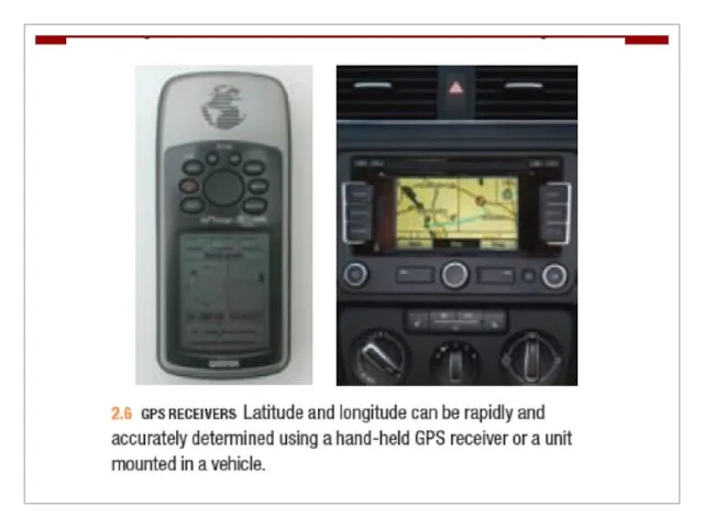
A Global Positioning System (GPS; 24 satellites at an
The Geographic Grid
A Global Positioning System (GPS; 24 satellites at an
Map Projections
Because the Earth’s shape is nearly spherical, it is impossible
Map Projections
Because the Earth’s shape is nearly spherical, it is impossible
Map Projections
The polar projection can be centred on either the North
Map Projections
The polar projection can be centred on either the North
Polar Projection
Polar Projection
Mercator Projection
Mercator Projection
Goode Projection
Goode Projection
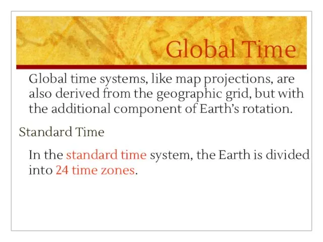
Global Time
Global time systems, like map projections, are also derived from
Global Time
Global time systems, like map projections, are also derived from
Global Time
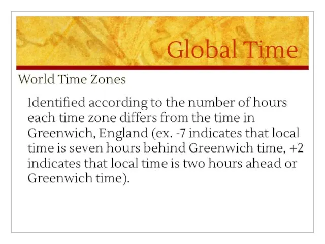
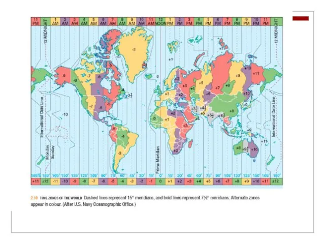
World Time Zones
Identified according to the number of hours
Global Time
World Time Zones
Identified according to the number of hours
Global Time
Because of the historical importance of the Greenwich Observatory, world
Global Time
Because of the historical importance of the Greenwich Observatory, world
Global Time
Daylight Savings Time (DST)
Established by setting all clocks ahead
Global Time
Daylight Savings Time (DST)
Established by setting all clocks ahead
Global Time
International Date Line
The 180th meridian serves as the International Date
Global Time
International Date Line
The 180th meridian serves as the International Date
The Earth’s Revolution Around the Sun
The orbital motion of the Earth
The Earth’s Revolution Around the Sun
The orbital motion of the Earth
The Earth’s Revolution Around the Sun
Because the Earth traces a slightly
The Earth’s Revolution Around the Sun
Because the Earth traces a slightly
The Earth’s Revolution Around the Sun
Tilt of the Earth’s Axis
The Earth’s
The Earth’s Revolution Around the Sun
Tilt of the Earth’s Axis
The Earth’s
The Earth’s Revolution Around the Sun
Solstice and Equinox
On or about
The Earth’s Revolution Around the Sun
Solstice and Equinox
On or about
The Earth’s Revolution Around the Sun
The equinoxes occur midway between the
The Earth’s Revolution Around the Sun
The equinoxes occur midway between the
The Earth’s Revolution Around the Sun
Equinox Conditions
At the equinoxes the circle
The Earth’s Revolution Around the Sun
Equinox Conditions
At the equinoxes the circle
The Earth’s Revolution Around the Sun
Solstice Conditions
During both the June and
The Earth’s Revolution Around the Sun
Solstice Conditions
During both the June and
The Earth’s Revolution Around the Sun
The subsolar point travels northward and
The Earth’s Revolution Around the Sun
The subsolar point travels northward and
 Животный мир Австралии
 Северный Кавказ - главный рекреационный район страны
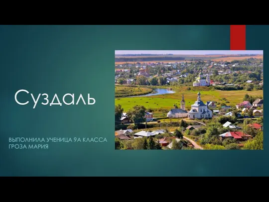 Суздаль
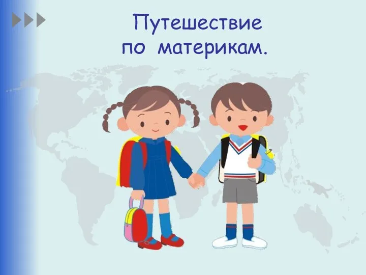 Путешествие по материкам
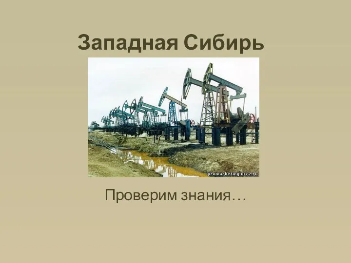 Западная Сибирь. Определить регион
 Интересные факты про Францию
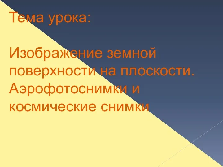 Изображение земной поверхности на плоскости. Аэрофотоснимки и космические снимки
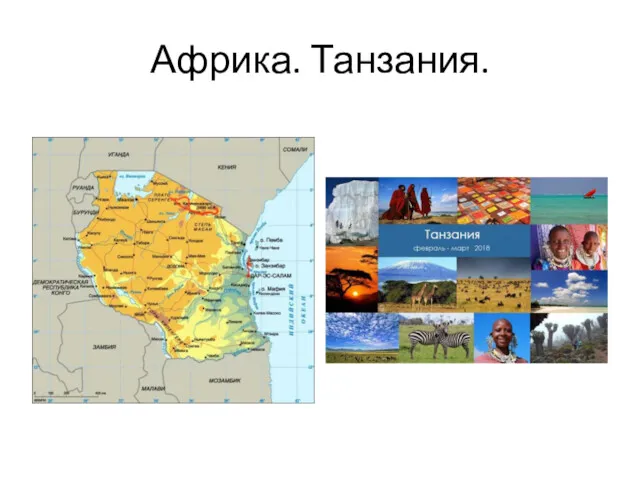 Африка. Танзания
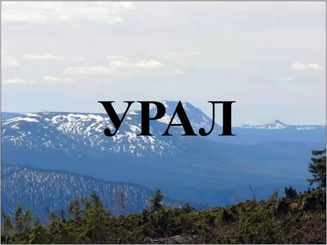 Уральские горы
 Королевство Испания
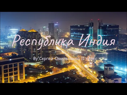 Республика Индия. 11 класс
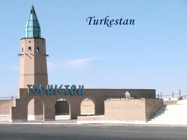 Turkestan
 Австралия
 Несприятливі погодні явища
 Экология и климат Саратовской области
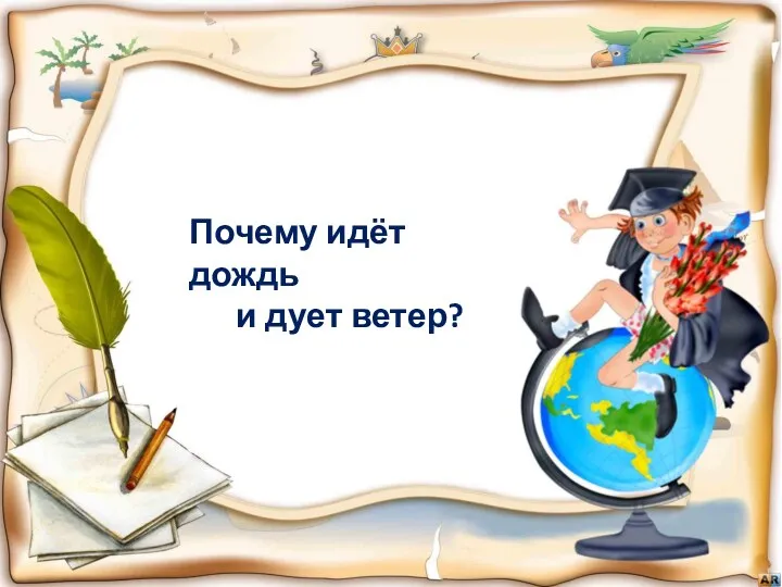 Почему идёт дождь и дует ветер
 Оңтүстік Американың өзен көлдері
 Geography Rulers and politics
 Степи и лесостепи
 Превращения и круговорот воды
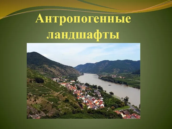 Антропогенные ланшафты
 Әлки муниципаль районы Алпар гомуми урта белем бирү мәктәбе география укытучысы. 6 класс
 Урал. Освоение и хозяйство. 2 часть. 9 класс
 Река Амур
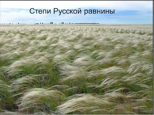 Степи Русской равнины
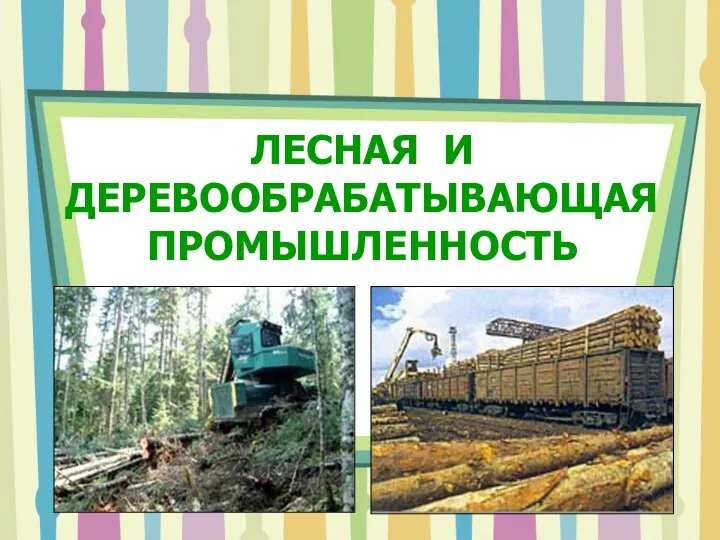 Лесная и деревообрабатывающая промышленность мира
 Разрывные нарушения
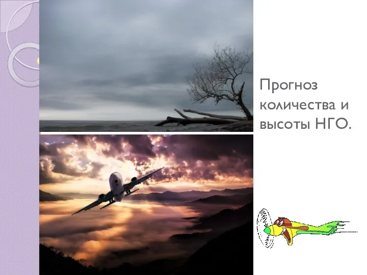 Прогноз количества и высоты НГО