- The Geographical Position and Nature of Great Britain

Содержание
- 2. State Symbol / Государственный символ !!!! The flag of the United Kingdom is known as the
- 3. Vocabulary:
- 4. Vocabulary:
- 5. ☝ Geographical Names 1. The British Isles - Британские острова 2. Ireland - Ирландия 3. The
- 6. Task 1. Read and translate the text: The Geographical Position and Nature of Great Britain The
- 7. In the west we can see the Cambrian Mountains occupying the greater part of Wales; in
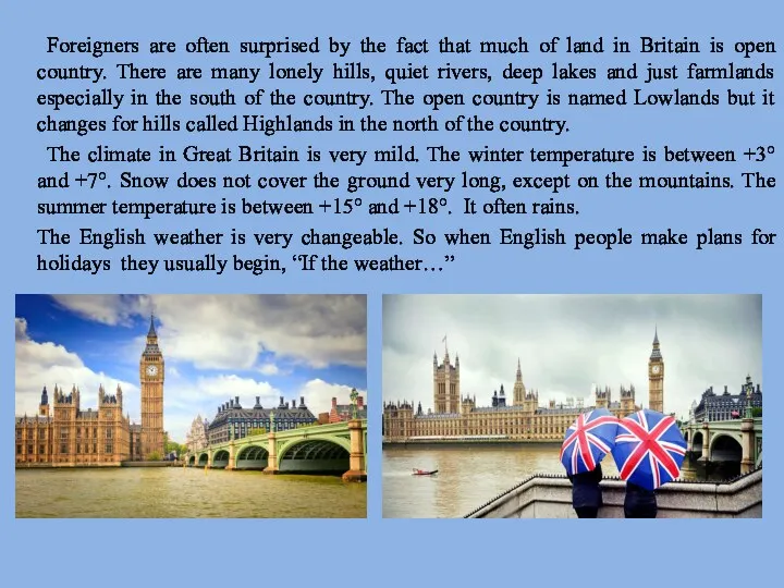
- 8. Foreigners are often surprised by the fact that much of land in Britain is open country.
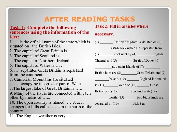
- 9. Task 1: Complete the following sentences using the information of the text: 1. … is the
- 10. Task 3: Complete the text about Great Britain with the following words: mild, large, falls, rain,
- 12. Скачать презентацию
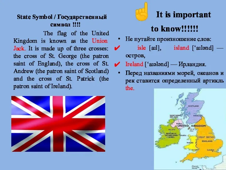
State Symbol / Государственный символ !!!!
The flag of the
State Symbol / Государственный символ !!!!
The flag of the
Vocabulary:
Vocabulary:
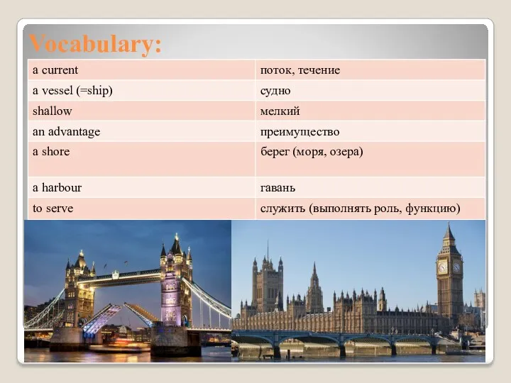
Vocabulary:
Vocabulary:
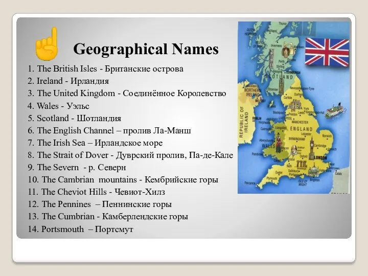
☝ Geographical Names
1. The British Isles - Британские острова
2. Ireland -
☝ Geographical Names
1. The British Isles - Британские острова
2. Ireland -
Task 1. Read and translate the text:
The Geographical Position and
Task 1. Read and translate the text:
The Geographical Position and
In the west we can see the Cambrian Mountains occupying the
In the west we can see the Cambrian Mountains occupying the
Foreigners are often surprised by the fact that much of land
Foreigners are often surprised by the fact that much of land
Task 1: Complete the following sentences using the information of
Task 1: Complete the following sentences using the information of
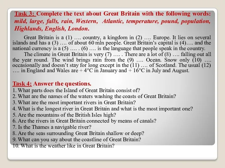
Task 3: Complete the text about Great Britain with the following
Task 3: Complete the text about Great Britain with the following
 География промышленности
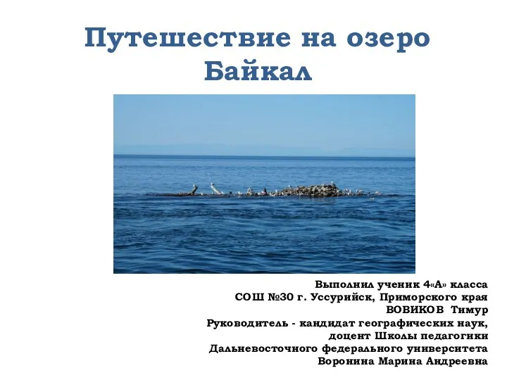 Путешествие на озеро Байкал
 Австралия. Природные памятники ЮНЕСКО. Часть 4
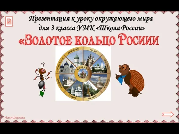 Золотое кольцо России. 1 часть
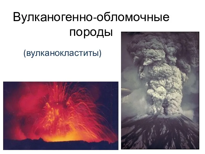 Вулканогенно-обломочные породы
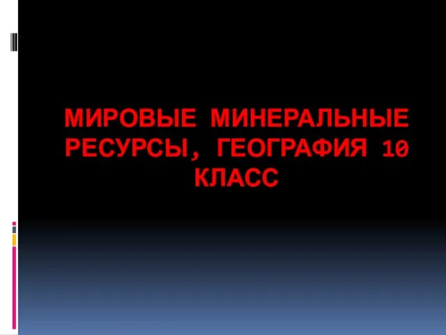 Мировые минеральные ресурсы
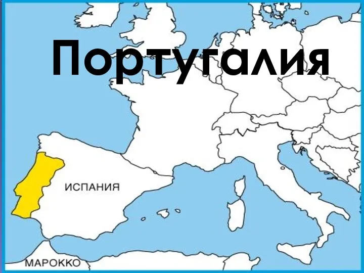 Португалия
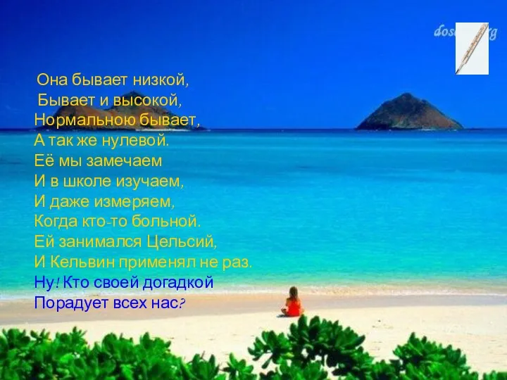 Она бывает низкой, бывает и высокой
 Канада. Вопросы
 Природно-територіальні комплекси України
 Табиғат зоналары тарауы бойынша қайталау сұрақтары
 География мирового транспорта
 Население мира
 Этническая география Северного Кавказа
 Россия- это родина моя
 Қазақстан – бай өлкем!
 Interesting facts about the UK
 Загадочная Антарктида
 State of Japan
 Хозяйство Восточной Сибири
 Великие географические открытия
 Ресурсы Мирового океана и рекреационные ресурсы
 C’est la Normandie
 Предмет, методы и задачи рекреационной географии
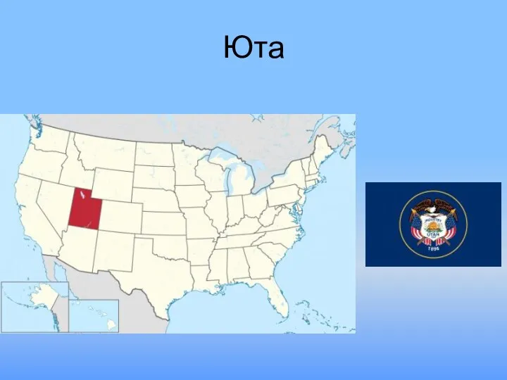 Штат Юта
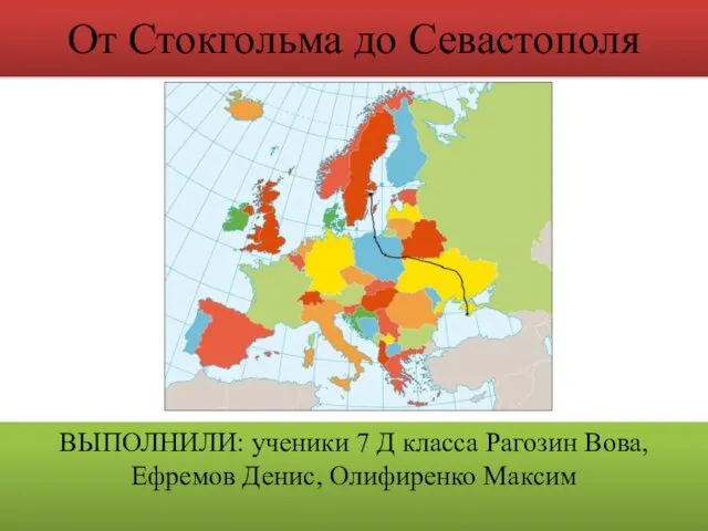 От Стокгольма до Севастополя
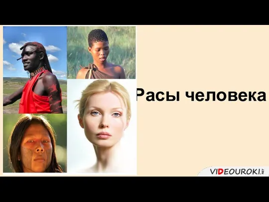 Расы человека
 Народы Юго-Западной Азии