- The Geography of UK and Its Political Outlook

Содержание
- 3. Geography of the UK
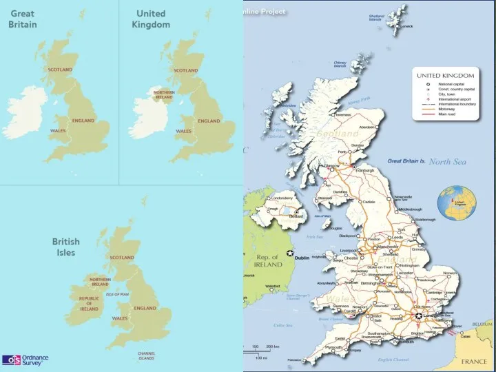
- 4. Do you know what countries are on the British Isles? The British Isles
- 5. The British Isles is made up of: - England (London) - Scotland (Edinburgh) . - Wales
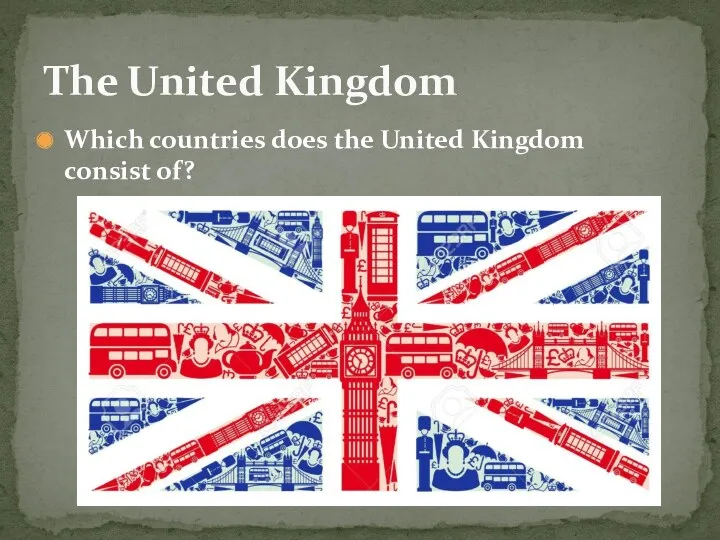
- 6. Which countries does the United Kingdom consist of? The United Kingdom
- 8. England
- 9. Northern Ireland - Belfast
- 10. Scotland - Edinburgh
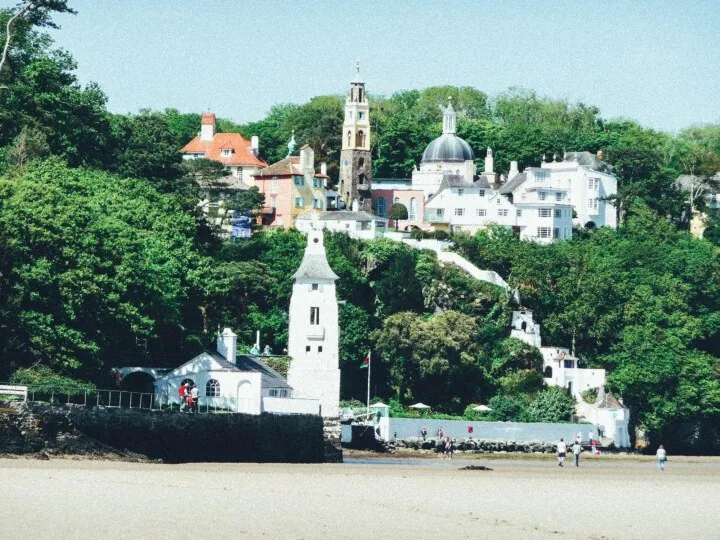
- 11. Wales - Cardiff
- 12. The United Kingdom of Great Britain and Northern Ireland is the official name of the state
- 13. “Great Britain” is often the same as “Britain” and refers only to Scotland, England and Wales.
- 14. Have you ever heard about it? Is it a part of the UK? What do you
- 15. The Irish sea
- 16. The UK is an island state. The two main islands are Great Britain and Ireland. Northern
- 17. What is the Russian name of it? What does it divide? The English Channel
- 18. Do you know what it is and where? The Straits of Dover
- 19. The UK is separated from the continent by the English Channel and the Straits of Dover.
- 20. The UK is also washed by the Atlantic Ocean in the north and the North Sea
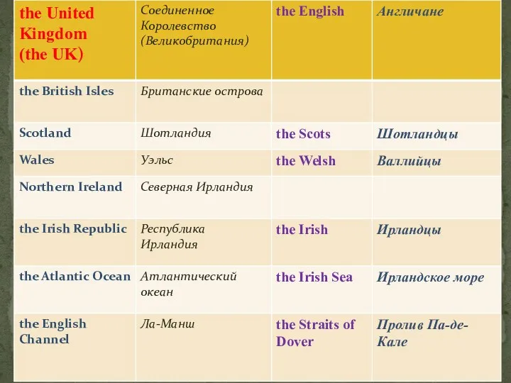
- 21. Attention! Be Careful!!! People from England are English. People from Scotland, Wales or Northern Ireland are
- 22. The Scottish or Scots
- 23. The Welsh
- 24. The Irish
- 25. What industrial cities do you know? Industrial cities of England
- 26. Manchester and Liverpool are big industrial cities of the centre of England.
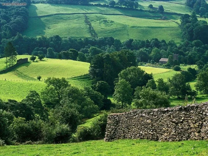
- 27. Foreigners are often surprised by the fact that much of the land in Britain is open
- 28. Do you know what parts this flag consist of? The flag of the United Kingdom is
- 30. Скачать презентацию
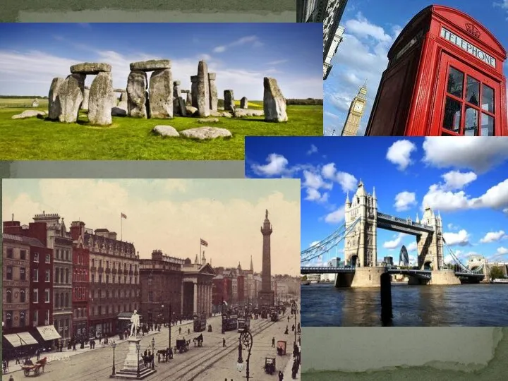
Geography of the UK
Geography of the UK
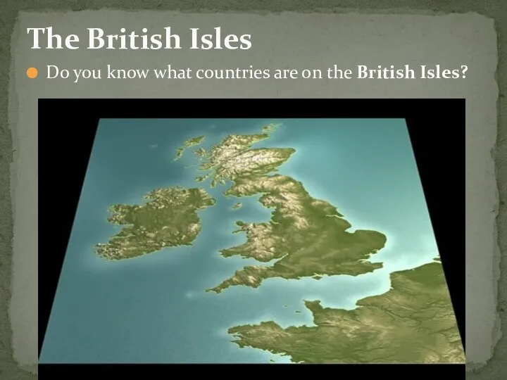
Do you know what countries are on the British Isles?
The British
Do you know what countries are on the British Isles?
The British
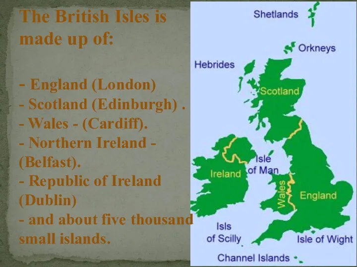
The British Isles is made up of:
- England (London)
- Scotland (Edinburgh) .
-
The British Isles is made up of: - England (London) - Scotland (Edinburgh) . -
Which countries does the United Kingdom consist of?
The United Kingdom
Which countries does the United Kingdom consist of?
The United Kingdom
England
England
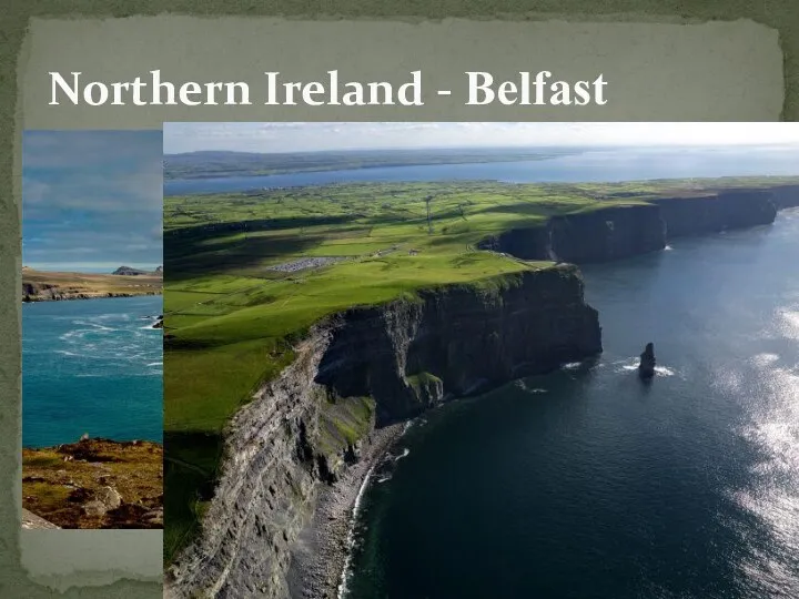
Northern Ireland - Belfast
Northern Ireland - Belfast
Scotland - Edinburgh
Scotland - Edinburgh
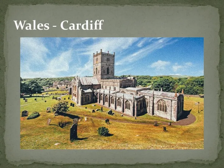
Wales - Cardiff
Wales - Cardiff
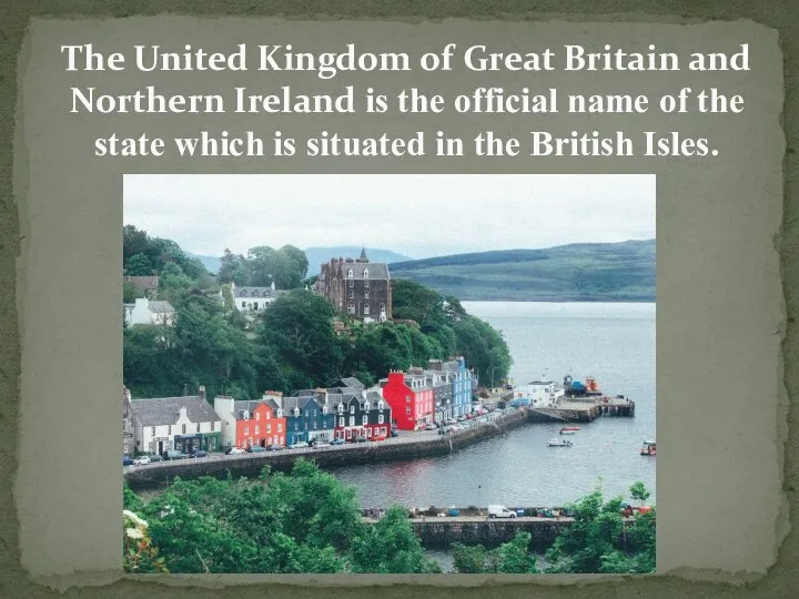
The United Kingdom of Great Britain and Northern Ireland is the
The United Kingdom of Great Britain and Northern Ireland is the
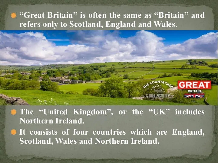
“Great Britain” is often the same as “Britain” and refers only
“Great Britain” is often the same as “Britain” and refers only
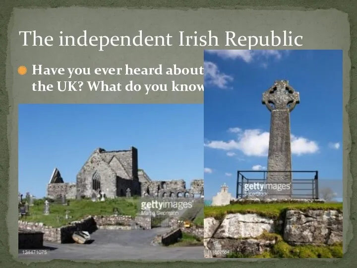
Have you ever heard about it? Is it a part of
Have you ever heard about it? Is it a part of
The Irish sea
The Irish sea

The UK is an island state.
The two main islands are
The UK is an island state.
The two main islands are
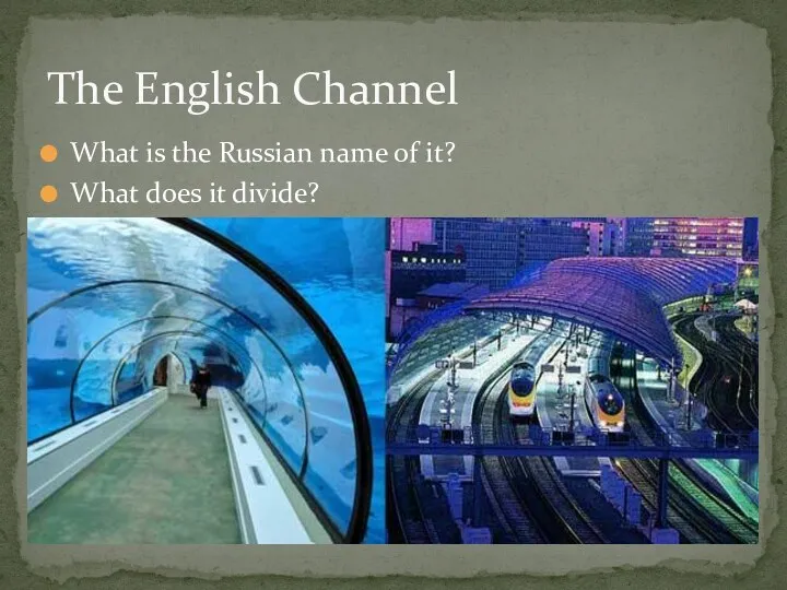
What is the Russian name of it?
What does it divide?
The English
What is the Russian name of it?
What does it divide?
The English
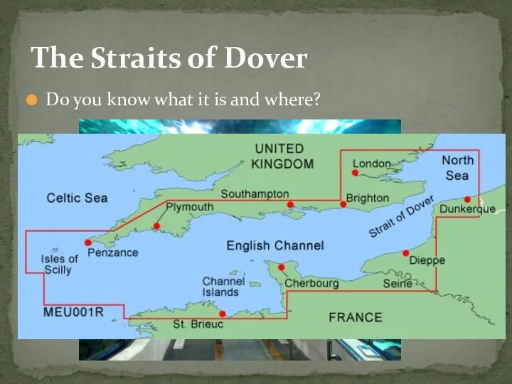
Do you know what it is and where?
The Straits of Dover
Do you know what it is and where?
The Straits of Dover
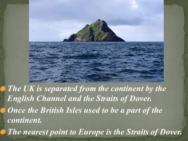
The UK is separated from the continent by the English Channel
The UK is separated from the continent by the English Channel
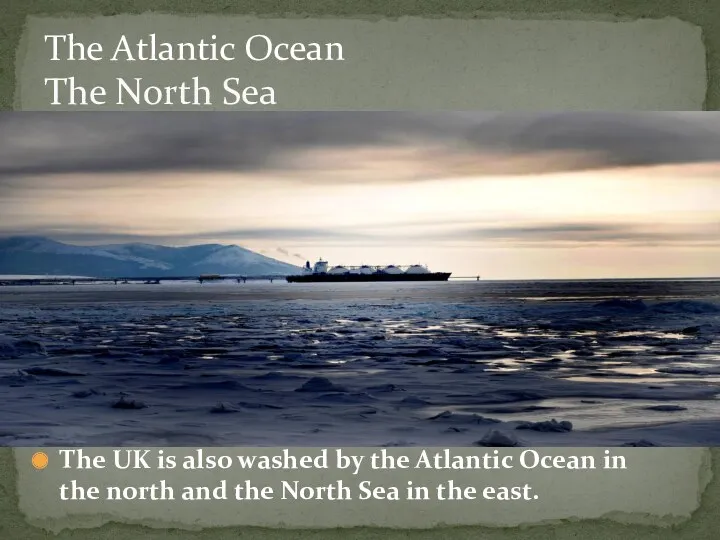
The UK is also washed by the Atlantic Ocean in the
The UK is also washed by the Atlantic Ocean in the
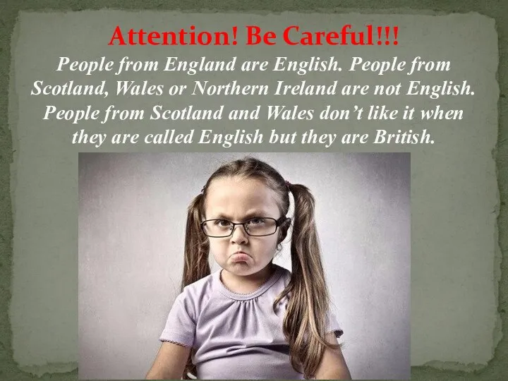
Attention! Be Careful!!!
People from England are English. People from Scotland, Wales
Attention! Be Careful!!! People from England are English. People from Scotland, Wales
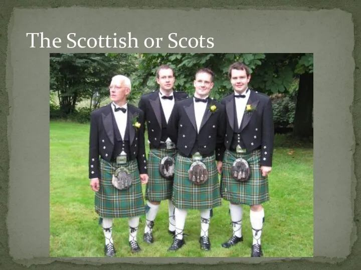
The Scottish or Scots
The Scottish or Scots
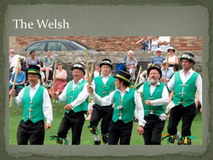
The Welsh
The Welsh
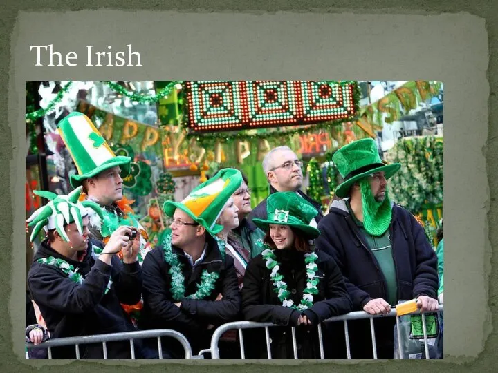
The Irish
The Irish
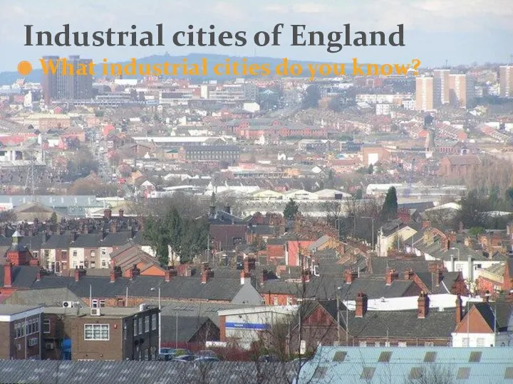
What industrial cities do you know?
Industrial cities of England
What industrial cities do you know?
Industrial cities of England
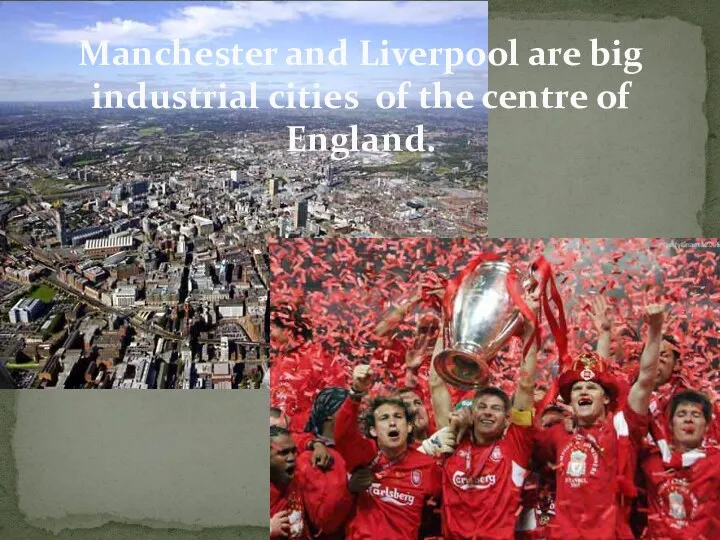
Manchester and Liverpool are big industrial cities of the centre of
Manchester and Liverpool are big industrial cities of the centre of
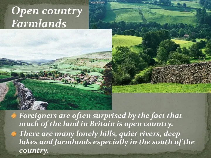
Foreigners are often surprised by the fact that much of the
Foreigners are often surprised by the fact that much of the
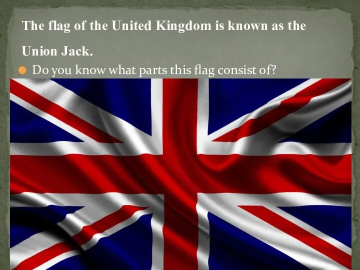
Do you know what parts this flag consist of?
The flag of
Do you know what parts this flag consist of?
The flag of
 Австралия. Природные памятники ЮНЕСКО. Часть 4
 Физическая география материков и океанов
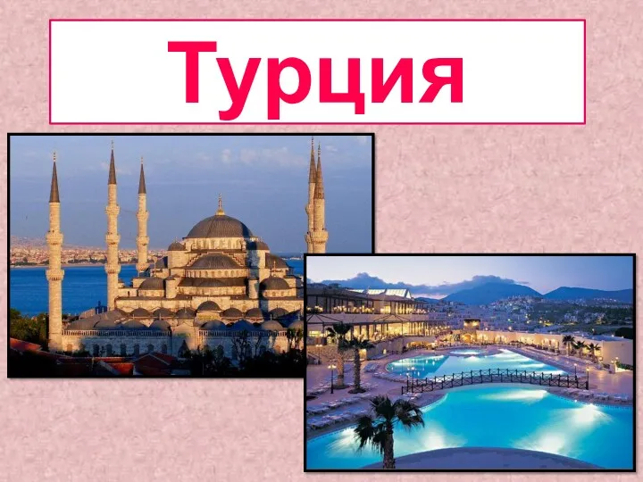 Государство Турция
 Объекты Всемирного природного наследия
 Води суходолу
 Подземные воды
 Северо-Западный федеральный округ
 Прочностные свойства горных пород
 Тест Воздух. Свойства воздуха
 Предмет и методы физической географии
 Путешествие по 55 параллели северного полушария. Этническая мозаика
 A Visit to Scotland
 Проект Родной город
 Природные зоны Евразии. 7 класс
 Company Karzov Travel. Program tour Pearls Baikal
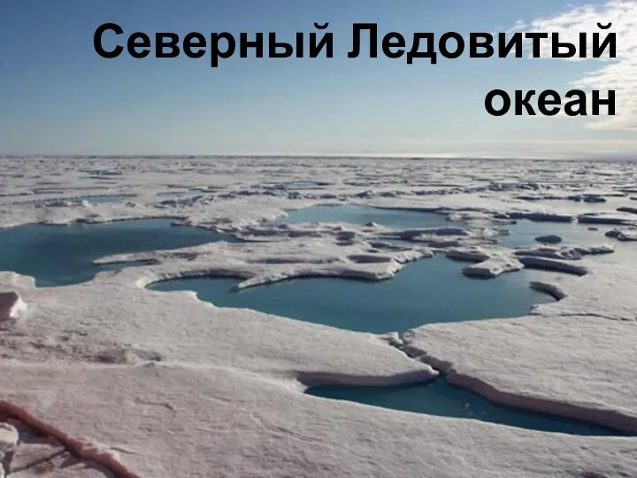 Северный Ледовитый океан
 Интеллектуальная игра по географии Самый умный
 Воды суши : реки и озёра
 Зимбабве
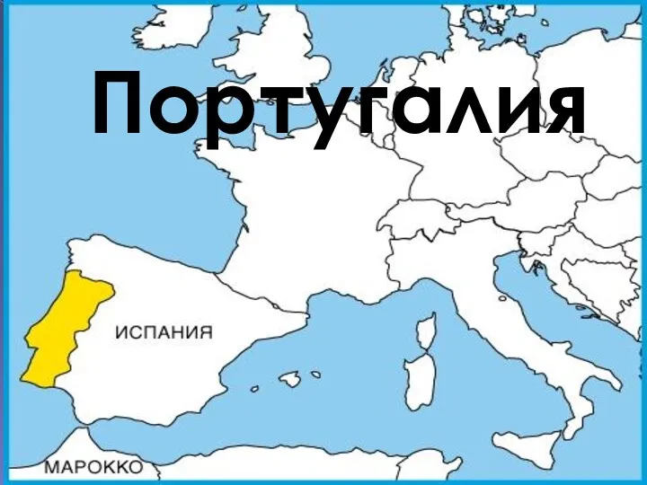 Португалия
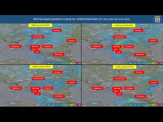 Прогноз выпадения осадков на территории ЮФО (от 28.02.2019 на 01.03.2019)
 Погода. Климат
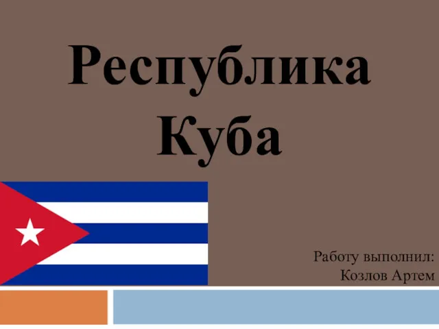 Республика Куба - островное государство в северной части Карибского моря
 Восточный Казахстан
 Город Махачкала
 Растительный мир России
 Рельеф и недра России. Строение земной коры (литосферы). 8 класс
 Природные ресурсы мира