- The United States Of America. Geographical position

Содержание
- 2. The United States is a country in the Western Hemisphere. It consists of 48 contiguous states
- 3. The term "United States", when used in the geographical sense, means the continental United States, Alaska,
- 4. The country shares land borders with Canada and Mexico and maritime (water) borders with Russia, Cuba,
- 5. Washed by the Pacific Ocean, the Atlantic Ocean, and the Gulf of Mexico. Alaska - the
- 6. The United States of America The group of forty-eight states in the single region between Canada
- 7. The land area of Lower 48 is approximately 7,700,000 km2. Alaska is the largest state at
- 8. two harbor indented coasts well watered coastal plains two mountain ranges an arable plain interconnected and
- 9. The eastern United States the Atlantic and Gulf shores + the Florida peninsula Piedmont The Appalachian
- 10. The southeast United States subtropical forests mangrove wetlands in Florida. the Mississippi River with two tributaries,
- 11. The Great Plains agricultural part of the USA the Rocky Mountains from Canada to Mexico the
- 12. Intermountain West the Cascade Range the Sierra Nevada the highest point - Mount Whitney (4,421 m).
- 13. CLIMATE AND ECOLOGY Continental Subtropical Tropical Semi-arid Arid Mediterranean Oceanic Subarctic or polar
- 14. Natural disasters drought - the Dust Bowl (1931–1942) – entire regions were virtually depopulated, and dust
- 15. The U.S. ecology is considered "megadiverse": 400 mammal 750 bird 500 reptile and amphibian species 91,000
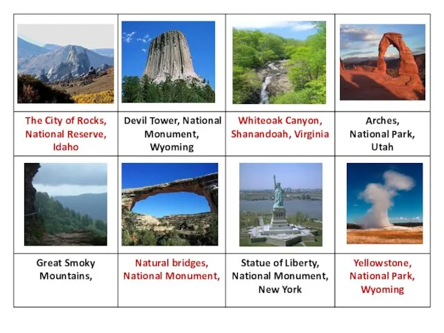
- 16. NATIONAL PARK SYSTEM It includes all National Historical Parks/Sites, National Battlefields/Military Parks, National Memorials, and some
- 18. POLITICAL DIVISIONS The United States is a federal union of 50 states. The original thirteen states
- 20. Скачать презентацию
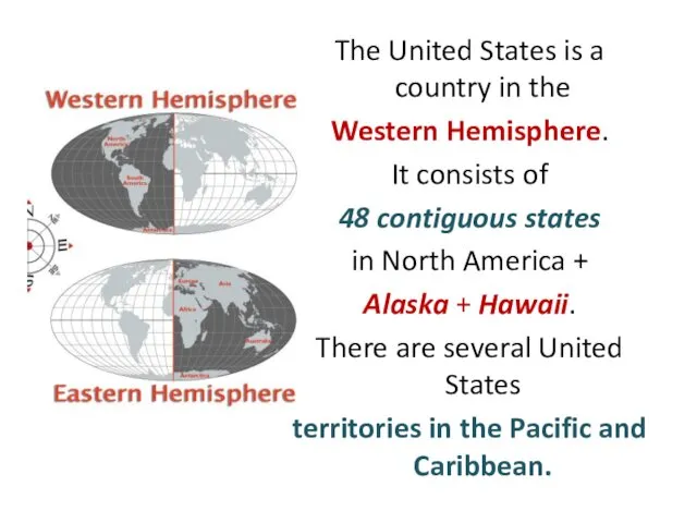
The United States is a country in the
Western Hemisphere.
It
The United States is a country in the
Western Hemisphere.
It
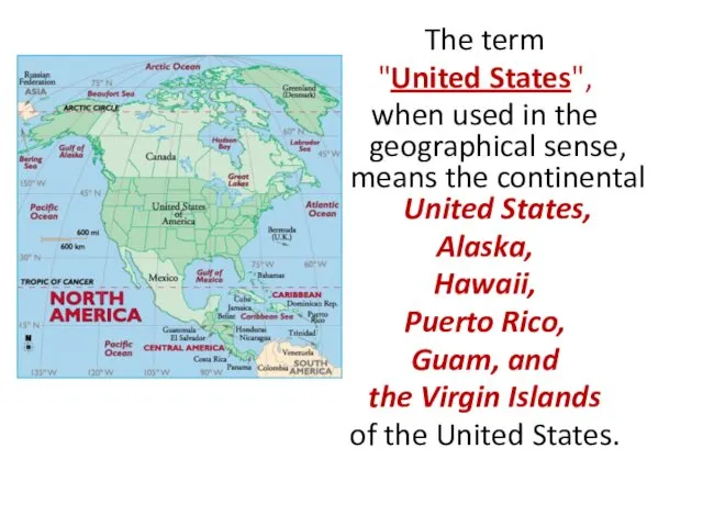
The term
"United States",
when used in the geographical sense, means
The term
"United States",
when used in the geographical sense, means

The country shares land borders
with Canada and Mexico and
maritime
The country shares land borders
with Canada and Mexico and
maritime
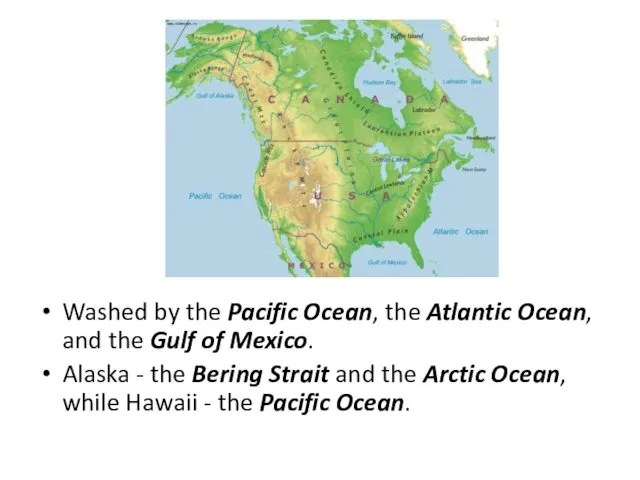
Washed by the Pacific Ocean, the Atlantic Ocean, and the Gulf
Washed by the Pacific Ocean, the Atlantic Ocean, and the Gulf
The United States of America
The group of forty-eight states in the
The United States of America
The group of forty-eight states in the
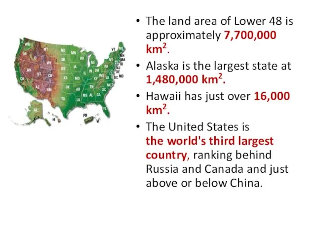
The land area of Lower 48 is approximately 7,700,000 km2.
Alaska
The land area of Lower 48 is approximately 7,700,000 km2.
Alaska
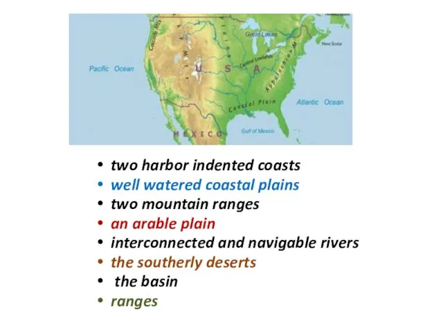
two harbor indented coasts
well watered coastal plains
two mountain ranges
two harbor indented coasts
well watered coastal plains
two mountain ranges

The eastern United States
the Atlantic and Gulf shores +
the Florida
The eastern United States
the Atlantic and Gulf shores +
the Florida
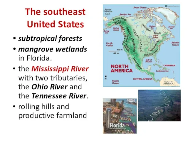
The southeast United States
subtropical forests
mangrove wetlands in Florida.
the
The southeast United States
subtropical forests
mangrove wetlands in Florida.
the
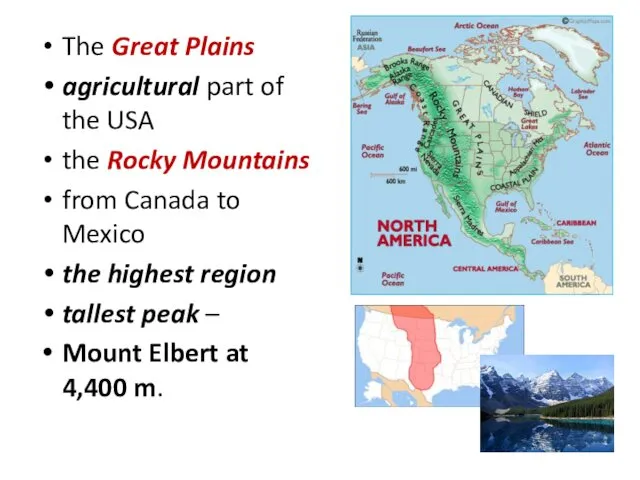
The Great Plains
agricultural part of the USA
the Rocky Mountains
from Canada
The Great Plains
agricultural part of the USA
the Rocky Mountains
from Canada

Intermountain West
the Cascade Range
the Sierra Nevada
the highest point - Mount
Intermountain West
the Cascade Range
the Sierra Nevada
the highest point - Mount

CLIMATE AND ECOLOGY
Continental
Subtropical
Tropical
Semi-arid
Arid
Mediterranean
Oceanic
Subarctic or polar
CLIMATE AND ECOLOGY
Continental
Subtropical
Tropical
Semi-arid
Arid
Mediterranean
Oceanic
Subarctic or polar
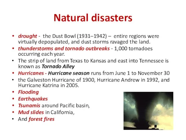
Natural disasters
drought - the Dust Bowl (1931–1942) – entire regions were
Natural disasters
drought - the Dust Bowl (1931–1942) – entire regions were
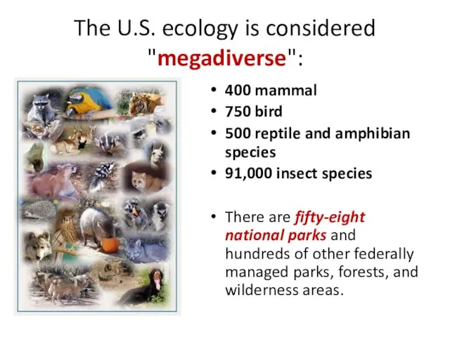
The U.S. ecology is considered "megadiverse":
400 mammal
750 bird
500 reptile
The U.S. ecology is considered "megadiverse":
400 mammal
750 bird
500 reptile

NATIONAL PARK SYSTEM
It includes all
National Historical Parks/Sites, National Battlefields/Military Parks,
NATIONAL PARK SYSTEM
It includes all
National Historical Parks/Sites, National Battlefields/Military Parks,

POLITICAL DIVISIONS
The United States is a federal union of 50 states.
POLITICAL DIVISIONS
The United States is a federal union of 50 states.
 Озоновые дыры
 Электроэнергетика мира. (10 класс)
 Описание Лено-Тунгусской нефтегазоносной провинции
 Критериальное оценивание как функциональная грамотность на уроках географии
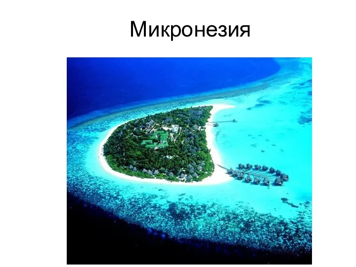 Микронезия
 Новая маршрутная сеть города Березники
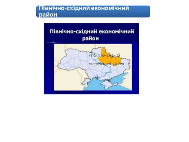 Північно-східний економічний район
 Озеро Титикака
 Moscow
 Пейзаж родной земли. Характерные черты и красота разных времён года
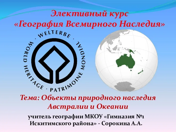 Объекты природного наследия Австралии и Океании
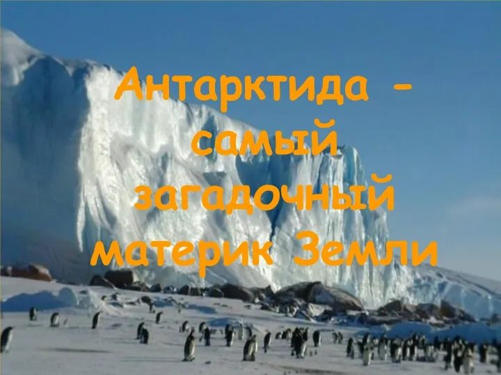 Антарктида - самый загадочный материк Земли
 Интеллектуальная игра по географии 7 класс По странам и континентам
 Ренійський район
 Климат Африки
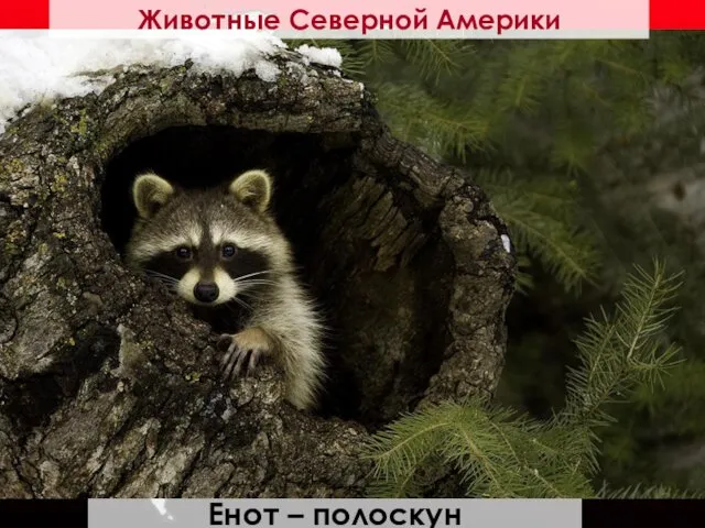 кл_Животные Северной Америки
 Основы лесной картографии
 Платформенный эндогенный рудогенез с позиции гипотезы кластерной ядерной диссоциации. Становление карбонатитов и кимберлитов
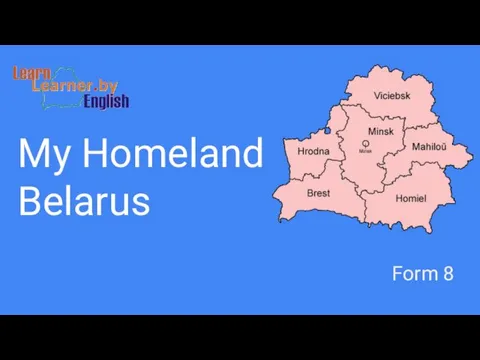 My Homeland Belarus
 Паводок. Угроза паводков
 Население Земли
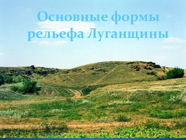 Основные формы рельефа Луганщины
 Город Дедовск
 Геологическая деятельность озёр и болот
 Ю́жно-Африка́нская Респу́блика (ЮАР)
 Абсолютная геохронология
 Республіка Польща
 Туризм США