- GPS (Global Positioning System)

Содержание
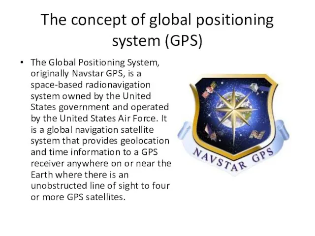
- 2. The concept of global positioning system (GPS) The Global Positioning System, originally Navstar GPS, is a
- 3. The system is designed, implemented and operated by the US Department of Defense, and is currently
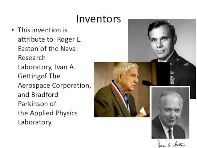
- 4. Inventors This invention is attribute to Roger L. Easton of the Naval Research Laboratory, Ivan A.
- 5. The design of GPS is based partly on similar ground-based radio-navigation systems, such as LORAN and
- 6. There are several factors that affect the accuracy of GPS data (for example, the uncertainty of
- 7. Beginning in 2010, such space satellites are launched, which provide much higher accuracy in determining the
- 9. Скачать презентацию
The concept of global positioning system (GPS)
The Global Positioning System, originally
The concept of global positioning system (GPS)
The Global Positioning System, originally
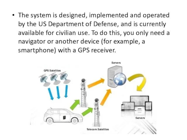
The system is designed, implemented and operated by the US Department
The system is designed, implemented and operated by the US Department
Inventors
This invention is attribute to Roger L. Easton of the Naval Research Laboratory, Ivan
Inventors
This invention is attribute to Roger L. Easton of the Naval Research Laboratory, Ivan
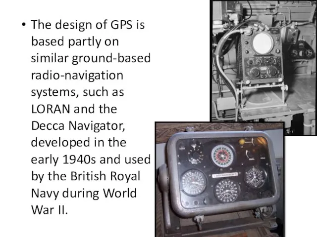
The design of GPS is based partly on similar ground-based radio-navigation
The design of GPS is based partly on similar ground-based radio-navigation

There are several factors that affect the accuracy of GPS data
There are several factors that affect the accuracy of GPS data
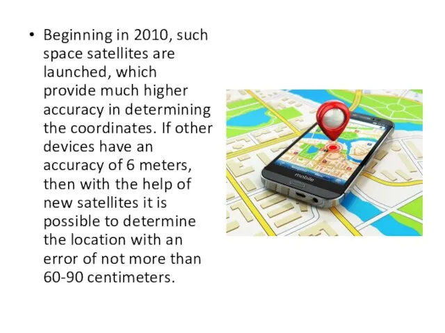
Beginning in 2010, such space satellites are launched, which provide much
Beginning in 2010, such space satellites are launched, which provide much
 Информационные ресурсы интернета
 Работа со строками. Методы строк. Лекция
 Порядок работы с модулем ФГИС ЕГРН
 Специалист в автоматизации
 Мистерия Игры Богов – I. Квадрант Инициации
 Внутренние устройства ПК
 Deep learning in computer vision. Нейронные сети
 Виды компьютерной графики. 8 класс
 История становления информатики как научной дисциплины, её предмет и задачи, структура информатики
 How to Download the Firmware image over the USB
 Brining Governance to the clouds. Module 3. Policy. Stages of Policy Making
 Классическая криптография и кодирование
 Splender browser plug-in user flows
 Использование ИКТ в учебном процессе
 Понятие информационная безопасность. Понятие информационная безопасность
 Программные средства информационных технологий. Тема 3
 Информация - инструмент, орудие, средство
 Что изучает информатика?
 Язык запросов к данным QBE
 Общая архитектура ОС. (Лекция 2)
 Формат издания
 Командные соревнования для специалистов по информационной безопасности
 Скрипты и механика акции. Газпромнефть. Сентябрь
 Текстовая информация. Текст как форма представления информации. Текстовые документы
 Разработка урока на тему Вспомогательные алгоритмы 9 класс
 Внешние международные информационные ресурсы
 Урок Модели и моделирование
 Інноваційний IT-проект, додаток iis