- Spatial data catalogues

Содержание
- 2. 4.1. General provisions on Spatial Data Catalogues 1. Spatial data that are stored for use in
- 3. 6. Support of a discovery and access service for spatial information is known variously within the
- 4. Notes. 1. Clearinghouse: 1) A distributed network of spatial data producers, managers, and users linked electronically;
- 5. 4.2. Distributed Spatial Data Catalogue concept 1. The Catalogue Gateway and its user interface allow a
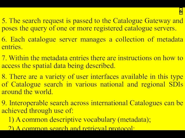
- 6. 5. The search request is passed to the Catalogue Gateway and poses the query of one
- 7. Fig.4.1 – Interaction diagram showing basic usage of Distributed Catalog Services and related SDI elements from
- 8. 10. The Distributed Catalogue environment is more than just a catalogue of locator records. 11. The
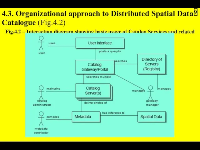
- 9. 4.3. Organizational approach to Distributed Spatial Data Catalogue (Fig.4.2) Fig.4.2 – Interaction diagram showing basic usage
- 10. 4.3.1. Terminology of Distributed Spatial Data Catalogue architecture 1. Data Set – a specific packaging of
- 11. 6. Catalogue entry – a single Metadata Entry made accessible through a Catalogue Service or stored
- 12. Fig.4.3 – Canadian Geospatial Data Infrastructure: GeoConnections Discovery Portal (http://geodiscover.cgdi.ca) 12
- 13. 4.3.2. Actors and their functions in Distributed Spatial Data Catalogue architecture 1. Originator of the Metadata
- 14. 4. Catalogue User: – Has to define criteria by which geographically related information could be located
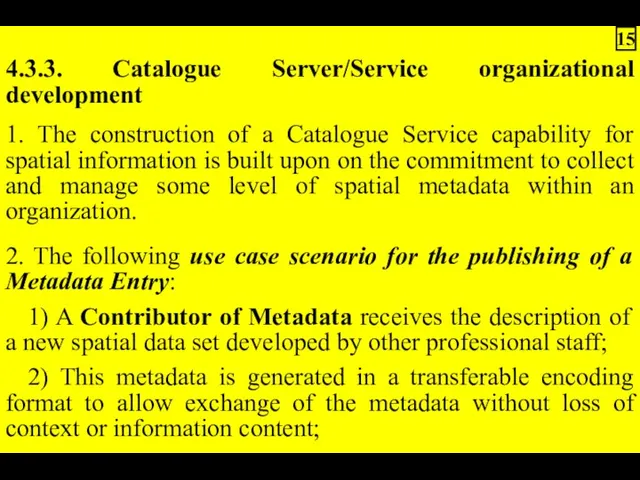
- 15. 4.3.3. Catalogue Server/Service organizational development 1. The construction of a Catalogue Service capability for spatial information
- 16. 4) The Catalogue Administrator applies any acceptance criteria on the quality of the metadata as required
- 17. 3. There are three principal models for Catalogue Server/Service installation within or among organizations: 1) Consortium
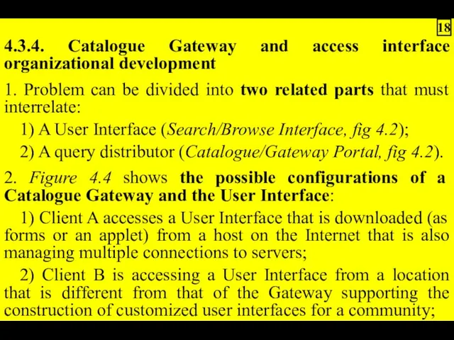
- 18. 4.3.4. Catalogue Gateway and access interface organizational development 1. Problem can be divided into two related
- 19. 3. Two styles of interaction are known to exist in Web search interfaces that are equally
- 20. Notes. 1. The challenge of constructing and supporting browse mechanism across a global collection of servers
- 21. 4.3.5. Organizational registering of Catalogue Servers 1. The nature of Distributed Catalogues requires that the knowledge
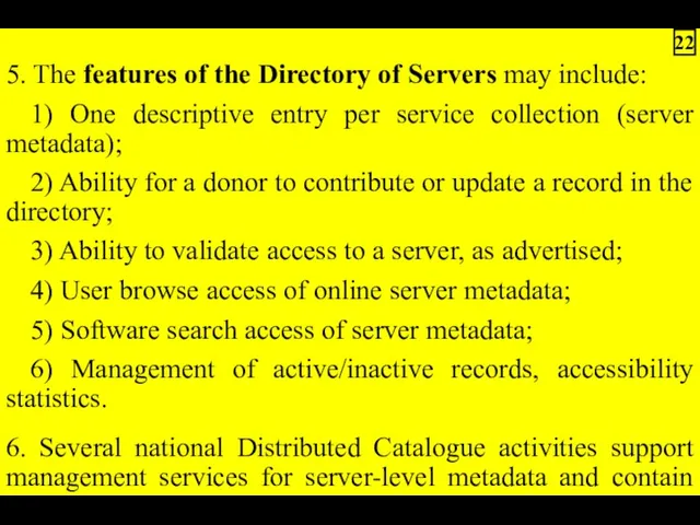
- 22. 5. The features of the Directory of Servers may include: 1) One descriptive entry per service
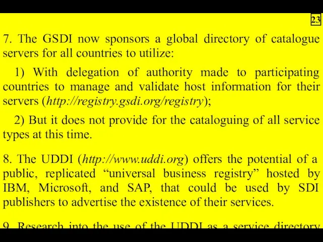
- 23. 7. The GSDI now sponsors a global directory of catalogue servers for all countries to utilize:
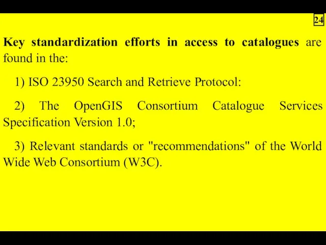
- 24. Key standardization efforts in access to catalogues are found in the: 1) ISO 23950 Search and
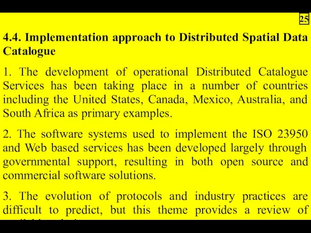
- 25. 4.4. Implementation approach to Distributed Spatial Data Catalogue 1. The development of operational Distributed Catalogue Services
- 26. 4. Let's review a technical use case scenario for access to a Distributed Catalogue: 1) A
- 27. 4) Results are returned from each server and are collated and presented to the User. Types
- 28. 5. The Distributed Catalogue is implemented using a multi-tier software architecture that includes (Figure 4.5): 1)
- 29. Fig.4.5 – Implementation view of Distributed Catalog Services (CORBA – Common Object Request Broker Architecture; OLE
- 30. 4.4.1. Catalogue Server/Service implementation development 1. To encourage widespread participation in the Clearinghouse, Catalogue Service software
- 31. 4. A Catalogue Service that participates in a Distributed Catalogue should fulfill the following requirements: 1)
- 32. 3) Ability to translate public fields/attribute structures into names and structures used in the metadata management
- 33. 4.4.2. Catalogue Gateway and access interface implementation development 1. As depicted in Figures 4.4 and 4.5,
- 34. 3. Software systems, such as Application Servers, that integrate catalogue search and other GIS and mapping
- 35. 4.4.3. Implementation registering of Catalogue Servers 1. The operation of a growing network of Distributed Catalogue
- 37. Скачать презентацию
4.1. General provisions on Spatial Data Catalogues
1. Spatial data that are
1. Spatial data that are
6. Support of a discovery and access service for spatial information
Notes.
1. Clearinghouse:
1) A distributed network of spatial data producers, managers, and
1. Clearinghouse:
1) A distributed network of spatial data producers, managers, and
4.2. Distributed Spatial Data Catalogue concept
1. The Catalogue Gateway and its
1. The Catalogue Gateway and its
5. The search request is passed to the Catalogue Gateway and
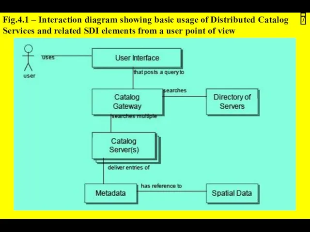
Fig.4.1 – Interaction diagram showing basic usage of Distributed Catalog Services
Fig.4.1 – Interaction diagram showing basic usage of Distributed Catalog Services
10. The Distributed Catalogue environment is more than just a catalogue
4.3. Organizational approach to Distributed Spatial Data Catalogue (Fig.4.2)
Fig.4.2 – Interaction
4.3. Organizational approach to Distributed Spatial Data Catalogue (Fig.4.2)
Fig.4.2 – Interaction
4.3.1. Terminology of Distributed Spatial Data Catalogue architecture
1. Data Set –
1. Data Set –
6. Catalogue entry – a single Metadata Entry made accessible through
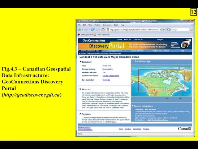
Fig.4.3 – Canadian Geospatial
Data Infrastructure:
GeoConnections Discovery
Portal
(http://geodiscover.cgdi.ca)
12
Data Infrastructure:
GeoConnections Discovery
Portal
(http://geodiscover.cgdi.ca)
12
4.3.2. Actors and their functions in Distributed Spatial Data Catalogue architecture
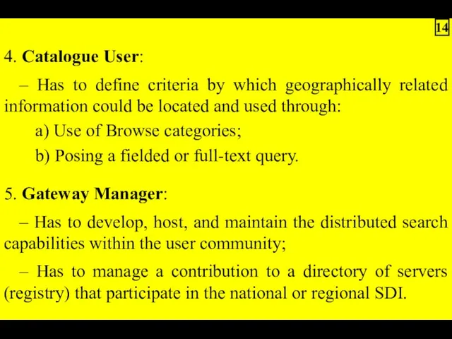
4. Catalogue User:
– Has to define criteria by which geographically related
– Has to define criteria by which geographically related
4.3.3. Catalogue Server/Service organizational development
1. The construction of a Catalogue Service
1. The construction of a Catalogue Service
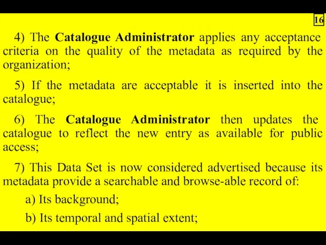
4) The Catalogue Administrator applies any acceptance criteria on the quality
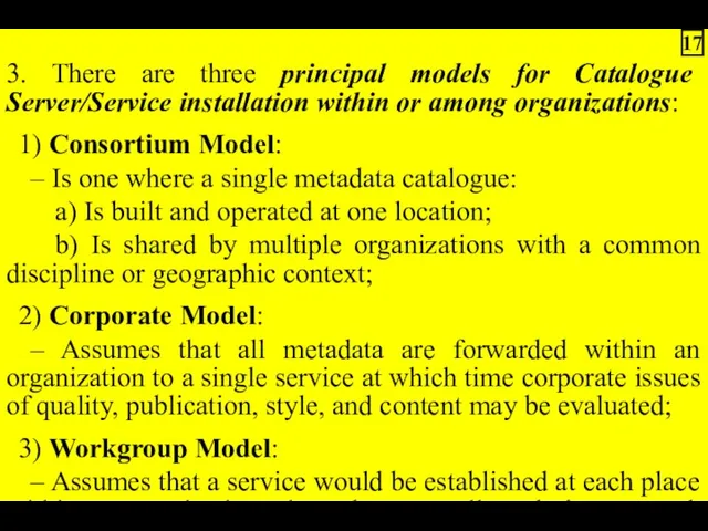
3. There are three principal models for Catalogue Server/Service installation within
4.3.4. Catalogue Gateway and access interface organizational development
1. Problem can be
1. Problem can be
3. Two styles of interaction are known to exist in Web
Notes.
1. The challenge of constructing and supporting browse mechanism across a
1. The challenge of constructing and supporting browse mechanism across a
4.3.5. Organizational registering of Catalogue Servers
1. The nature of Distributed Catalogues
1. The nature of Distributed Catalogues
5. The features of the Directory of Servers may include:
1) One
1) One
7. The GSDI now sponsors a global directory of catalogue servers
Key standardization efforts in access to catalogues are found in the:
1)
1)
4.4. Implementation approach to Distributed Spatial Data Catalogue
1. The development of
1. The development of
4. Let's review a technical use case scenario for access to
4) Results are returned from each server and are collated and
5. The Distributed Catalogue is implemented using a multi-tier software architecture
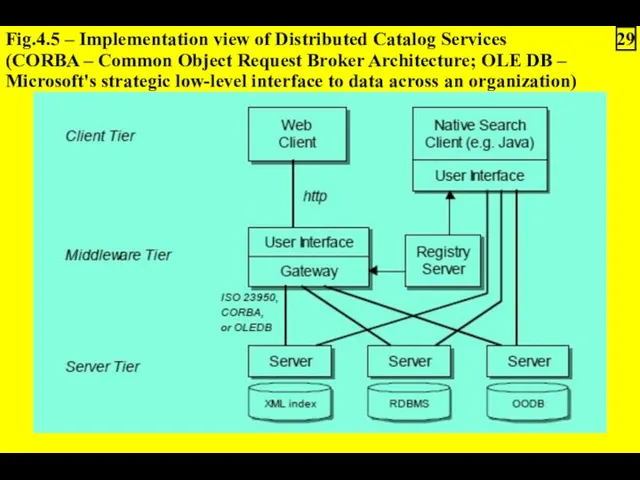
Fig.4.5 – Implementation view of Distributed Catalog Services (CORBA – Common
Fig.4.5 – Implementation view of Distributed Catalog Services (CORBA – Common
4.4.1. Catalogue Server/Service implementation development
1. To encourage widespread participation in the
1. To encourage widespread participation in the
4. A Catalogue Service that participates in a Distributed Catalogue should
3) Ability to translate public fields/attribute structures into names and structures
4.4.2. Catalogue Gateway and access interface implementation development
1. As depicted in
1. As depicted in
3. Software systems, such as Application Servers, that integrate catalogue search
4.4.3. Implementation registering of Catalogue Servers
1. The operation of a growing
1. The operation of a growing
 Объекты в объектно-ориентированном программировании
 Переменные, простейшие операции, ввод/вывод
 Компьютерлік графика
 Информатика. Кибернетика
 Основы программирования. Работа с консолью. While. Вложенные циклы. Лабораторная работа
 Моделирование динамических отношений на UML
 Избранные задачи ЕГЭ по информатике
 Единый портал государственных услуг
 Текстовый процессор Microsoft Word 2010
 Обновлённый личный кабинет родителя для Школ_removed (1) (1)
 Безопасный интернет – это возможно
 Электронная цифровая подпись
 Урок обобщение по теме Электрические явления.Молниеотвод
 Локальна мережа ТРК Воля
 Тексты в компьютерной памяти
 Технологии программирования
 Современные веб-технологии CSS3
 Инновационный проект Информационное сотрудничество
 Язык программирования Python. Основы языка Python. Линейные программы
 Расчетные методики ПП ЭкоСфера-предприятие. Расчет выбросов от нефтехимического оборудования
 Работа с дефектами в IT. Описание и структура дефектов
 Выполнение программы
 Коллекция ссылок на электронно-образовательные ресурсы
 Операционная система Windows
 Операциялық жүйе
 Исследование применения негативных PR технологий в электоральный период в России на современном этапе
 Системы счисления. Двоичная система счисления
 Параллельное и распределенное программирование