- GPS

Содержание
- 2. Part I - Course Outline GPS Fundamentals History Technology Satellites Signals Ground Stations Receivers Users /
- 3. Part II - Course Outline GPS Show and Tell Hands On Users Discussion GPS Operation and
- 4. Theorized from 1940s GPS Origins from… Sputnik ? After 1957, scientist were able to track Sputnik
- 5. U.S. Global Positioning System (GPS!) Navigational Aid Continuous operation (24/7/356) All weather / Line of Site
- 6. Velocity x Time = Distance Satellites in orbit transmit radio signals (code) GPS Receivers are always
- 7. Timing is critical to determine distance Satellites Contain 4 atomic clocks each Entire System is Synchronized
- 8. Timing is critical to determine distance Satellites Contain 4 atomic clocks each Entire System is Synchronized
- 9. WAAS: Wide Area Augmentation System EGNOS: European Geostationary Navigation Overlay Service GPS: Global Positioning System NDGPS:
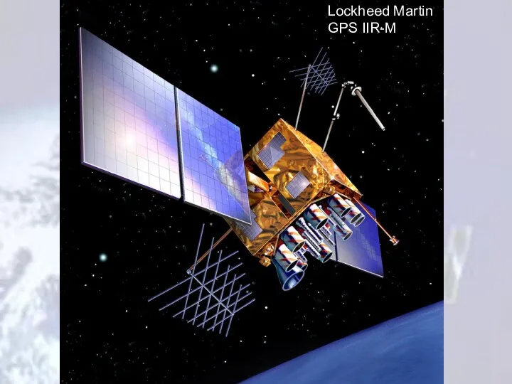
- 10. Built by Lockheed Martin and Boeing North American (Rockwell Int.) Powered by Solar Panels 800watts /
- 13. Full Constellation 24 satellite vehicle units (SVU) 21 active 3 hot spares http://www.navcen.uscg.gov/ftp/GPS/status.txt http://www.spaceandtech.com/spacedata/constellations/navstar-gps_consum.shtml Four Generations
- 14. Satellite Diagram 12,551mile altitude 24 Satellites 6 Orbital Planes The Aerospace Corporation - "GPS Primer"
- 15. Block I original NAVSTAR constellation Active from 1978-1985 11 Satellite System Polar Orbits Used to test
- 16. Satellites Broadcast Signals For Two Civil Frequencies L1 Broadcasts 50 watt signal;1575.42MHz [UHF] L2C Broadcasts -
- 17. Satellite Signals Civilian code C/A Code: Course/ Acquisition code Military code P-Code (precision code) Y-Code (precision
- 18. Each Satellite transmits a timing signal called a Pseudo Random Code Also referred to PRN (Pseudo
- 19. Multiple Tracking Stations Central Control Station Schriever AFB Colorado (50th Space Wing of the USAF) Tracks
- 20. Handheld Auto Navigation Air Navigation Marine Navigation Cellular Phone Tracking OnStar * (WAAS enabled 2008) http://www.ags.gov.ab.ca/activities/Turtle_Mountain/gps.htm
- 21. Receiver Types -
- 22. Atmospheric Delay mostly corrected for in DGPS Signal Reflections (Multi-path) better receivers are able to reject
- 23. Summary of GPS Error Sources Typical Error (in Meters) Standard GPS Differential GPS Satellite Clocks 1.5
- 24. Differential GPS NDGPS - Nationwide Differential GPS U.S. Coast Guard Operates a National System Used for
- 25. Being Developed with FAA for Air nav use Not currently accurate enough for precision approach Provides
- 26. Agriculture Construction Mapping / GIS Military – Guidance / Navigation Navigation Survey Time Keeping Network Synchronicity
- 27. Agriculture – Planting Construction – GPS Controlled Grading
- 28. Marine – Military
- 29. Kinematic GPS Uses a stationary Receiver at a known location Corrects for atmospheric errors Ephemeris errors
- 30. To get initialized, RTK needs a minimum of five satellites. After that it can operate with
- 31. GLONASS – Russia 14 Satellites Last three launched in June 2005 3 Orbital Planes Galileo –
- 33. Скачать презентацию
Part I - Course Outline
GPS Fundamentals
History
Technology
Satellites
Signals
Ground Stations
Receivers
Users / Uses
Other GPS
Part I - Course Outline
GPS Fundamentals
History
Technology
Satellites
Signals
Ground Stations
Receivers
Users / Uses
Other GPS
Part II - Course Outline
GPS Show and Tell
Hands On
Users Discussion
GPS Operation
Part II - Course Outline
GPS Show and Tell
Hands On
Users Discussion
GPS Operation
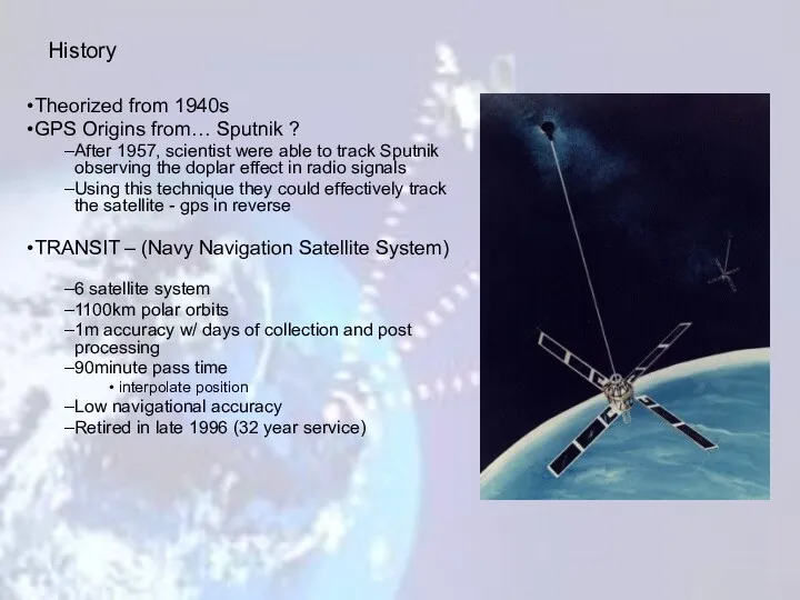
Theorized from 1940s
GPS Origins from… Sputnik ?
After 1957, scientist were able
Theorized from 1940s
GPS Origins from… Sputnik ?
After 1957, scientist were able
U.S. Global Positioning System (GPS!)
Navigational Aid
Continuous operation (24/7/356)
All weather / Line
U.S. Global Positioning System (GPS!)
Navigational Aid
Continuous operation (24/7/356)
All weather / Line
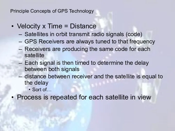
Velocity x Time = Distance
Satellites in orbit transmit radio signals
Velocity x Time = Distance
Satellites in orbit transmit radio signals
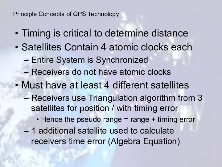
Timing is critical to determine distance
Satellites Contain 4 atomic clocks each
Entire
Timing is critical to determine distance
Satellites Contain 4 atomic clocks each
Entire
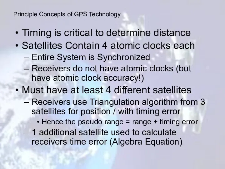
Timing is critical to determine distance
Satellites Contain 4 atomic clocks each
Entire
Timing is critical to determine distance
Satellites Contain 4 atomic clocks each
Entire
WAAS: Wide Area Augmentation System
EGNOS: European Geostationary Navigation Overlay Service
GPS:
WAAS: Wide Area Augmentation System
EGNOS: European Geostationary Navigation Overlay Service
GPS:
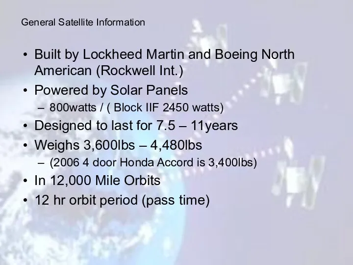
Built by Lockheed Martin and Boeing North American (Rockwell Int.)
Powered by
Built by Lockheed Martin and Boeing North American (Rockwell Int.)
Powered by
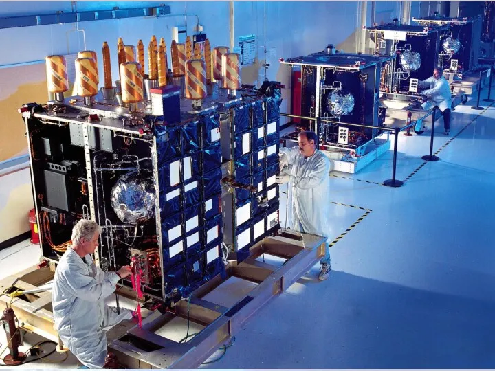
Full Constellation
24 satellite vehicle units (SVU)
21 active
3 hot spares
http://www.navcen.uscg.gov/ftp/GPS/status.txt
http://www.spaceandtech.com/spacedata/constellations/navstar-gps_consum.shtml
Four Generations
Full Constellation
24 satellite vehicle units (SVU)
21 active
3 hot spares
http://www.navcen.uscg.gov/ftp/GPS/status.txt
http://www.spaceandtech.com/spacedata/constellations/navstar-gps_consum.shtml
Four Generations
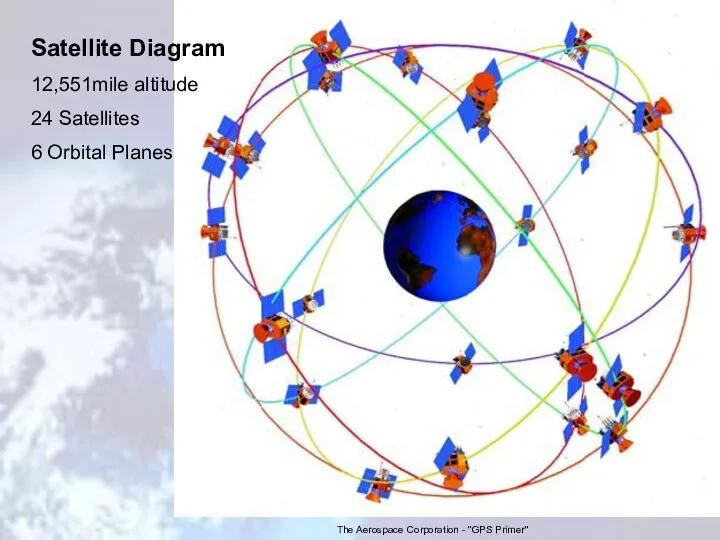
Satellite Diagram
12,551mile altitude
24 Satellites
6 Orbital Planes
The Aerospace Corporation - "GPS
Satellite Diagram
12,551mile altitude
24 Satellites
6 Orbital Planes
The Aerospace Corporation - "GPS
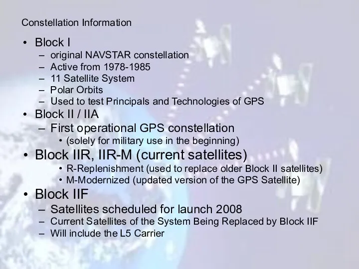
Block I
original NAVSTAR constellation
Active from 1978-1985
11 Satellite System
Polar Orbits
Used
Block I
original NAVSTAR constellation
Active from 1978-1985
11 Satellite System
Polar Orbits
Used
Satellites Broadcast Signals For Two Civil Frequencies
L1 Broadcasts 50 watt signal;1575.42MHz
Satellites Broadcast Signals For Two Civil Frequencies
L1 Broadcasts 50 watt signal;1575.42MHz
Satellite Signals
Civilian code
C/A Code: Course/ Acquisition code
Military code
P-Code (precision code)
Y-Code (precision
Satellite Signals
Civilian code
C/A Code: Course/ Acquisition code
Military code
P-Code (precision code)
Y-Code (precision
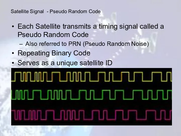
Each Satellite transmits a timing signal called a Pseudo Random Code
Each Satellite transmits a timing signal called a Pseudo Random Code
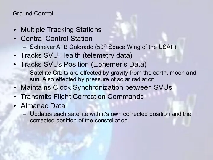
Multiple Tracking Stations
Central Control Station
Schriever AFB Colorado (50th Space Wing
Multiple Tracking Stations
Central Control Station
Schriever AFB Colorado (50th Space Wing
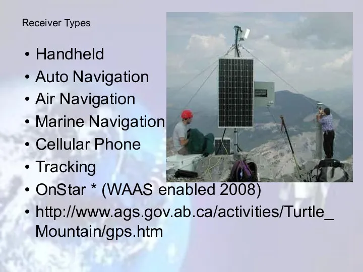
Handheld
Auto Navigation
Air Navigation
Marine Navigation
Cellular Phone
Tracking
OnStar * (WAAS enabled 2008)
http://www.ags.gov.ab.ca/activities/Turtle_Mountain/gps.htm
Receiver Types
Handheld
Auto Navigation
Air Navigation
Marine Navigation
Cellular Phone
Tracking
OnStar * (WAAS enabled 2008)
http://www.ags.gov.ab.ca/activities/Turtle_Mountain/gps.htm
Receiver Types
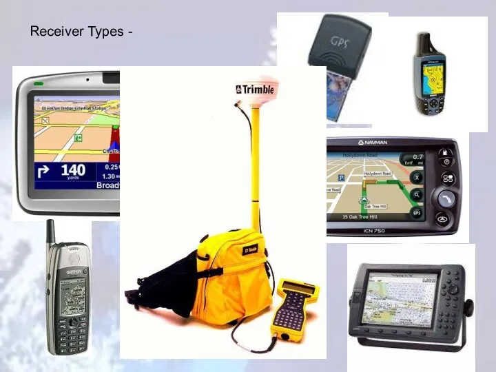
Receiver Types -
Receiver Types -
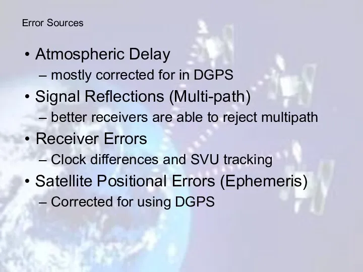
Atmospheric Delay
mostly corrected for in DGPS
Signal Reflections (Multi-path)
better receivers are able
Atmospheric Delay
mostly corrected for in DGPS
Signal Reflections (Multi-path)
better receivers are able
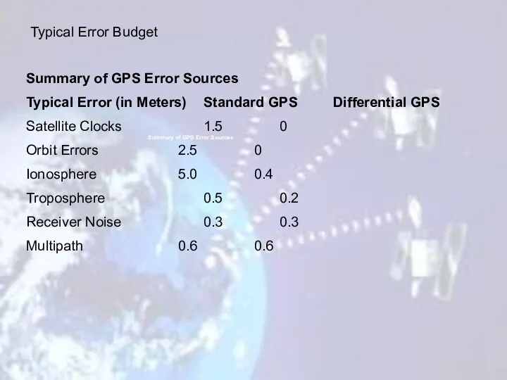
Summary of GPS Error Sources
Typical Error (in Meters) Standard GPS Differential
Summary of GPS Error Sources
Typical Error (in Meters) Standard GPS Differential
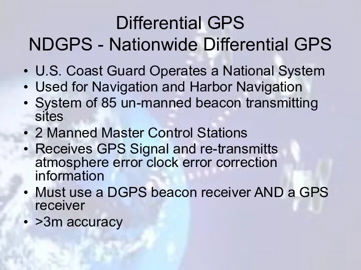
Differential GPS
NDGPS - Nationwide Differential GPS
U.S. Coast Guard Operates a National
Differential GPS
NDGPS - Nationwide Differential GPS
U.S. Coast Guard Operates a National
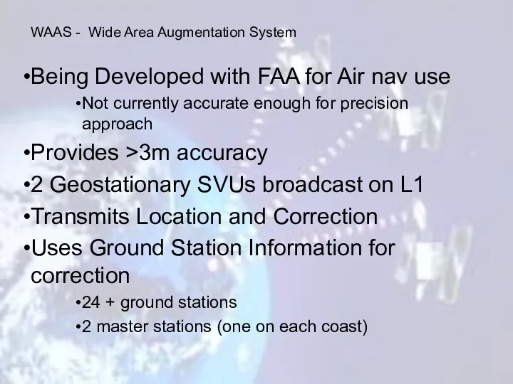
Being Developed with FAA for Air nav use
Not currently accurate enough
Being Developed with FAA for Air nav use
Not currently accurate enough
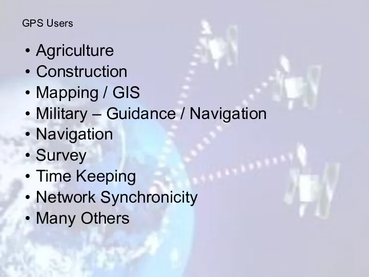
Agriculture
Construction
Mapping / GIS
Military – Guidance / Navigation
Navigation
Survey
Time Keeping
Network
Agriculture
Construction
Mapping / GIS
Military – Guidance / Navigation
Navigation
Survey
Time Keeping
Network

Agriculture – Planting
Construction –
GPS Controlled Grading
Agriculture – Planting
Construction –
GPS Controlled Grading
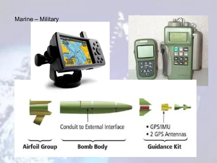
Marine – Military
Marine – Military
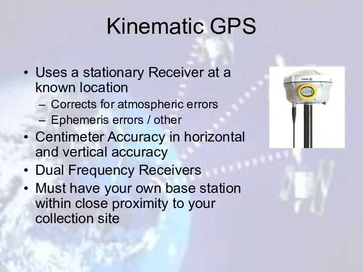
Kinematic GPS
Uses a stationary Receiver at a known location
Corrects for atmospheric
Kinematic GPS
Uses a stationary Receiver at a known location
Corrects for atmospheric
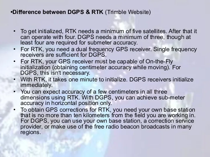
To get initialized, RTK needs a minimum of five satellites. After
To get initialized, RTK needs a minimum of five satellites. After
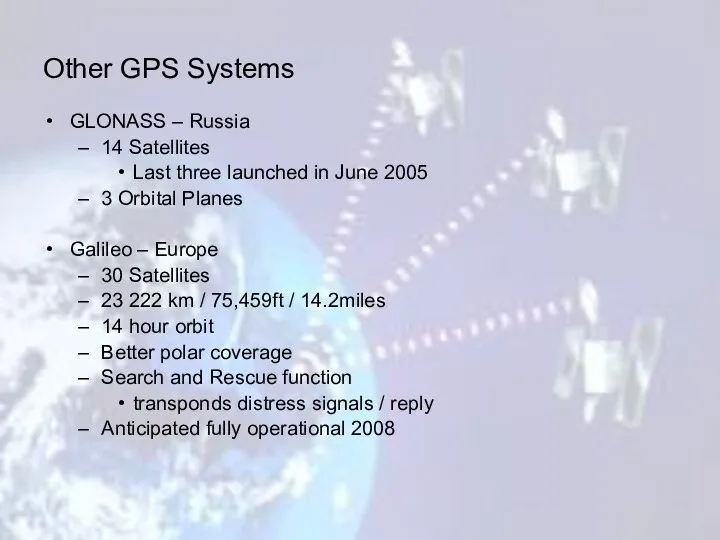
GLONASS – Russia
14 Satellites
Last three launched in June 2005
3 Orbital
GLONASS – Russia
14 Satellites
Last three launched in June 2005
3 Orbital
 Перитонит кезінде ГБО пайдалану
 Машины для разделения неоднородных систем
 Класс амфибии
 Закономерности эволюционного процесса. Правила эволюции
 Презентация для педагогов Метод проектов в экологическом образовании дошкольников
 Файлы и файловые системы
 Экспозиция. Тип замера экспозиции в съемке
 Культура в СССР в 60-80 е годы ХХ в
 Говорим огонь наш друг
 Строгание древесины, сверление отверстий в древесине. Технология 5 класс
 Презентация к уроку математики 5 класс (Никольский С.М. идр.)
 Створення презентацій за допомогою шаблонів оформлення та на основі існуючої
 Контактные сети и линии электропередач
 условные знаки и масштаб
 The big London. Quiz
 Технология изготовления металлического мангала
 Развитие познавательной мотивации и творческих способностей учащихся при организации проектно-исследовательской деятельности
 Prezentarea generala
 Габитус, формы роста и контур букета
 Как помочь ребёнку в учёбе
 Платон. Основные положения философии
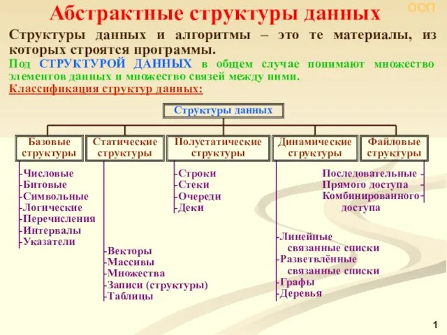 Абстрактные структуры данных
 Советская криминология (1922-1991)
 Личные местоимения
 Заманауи фармакотерапияда дәлелді медицинаның қызметі
 Эти забавные животные
 Портфолио учителя физики и математики
 классный час Мы в ответе за свои поступки