- Coastal Hazards

Содержание
- 2. The Coast Coastal environment – setting where terrestrial environment meets marine environment Coastlines (or shorelines) –
- 5. 9-
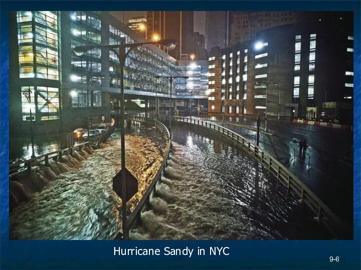
- 6. 9- Hurricane Sandy in NYC
- 7. 9-
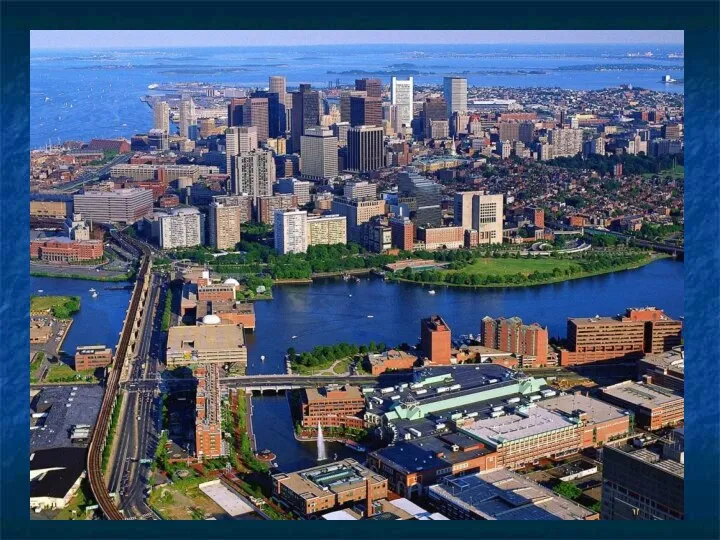
- 8. The Coast Human development and consequences 53% of U.S. population lives on a coast which is
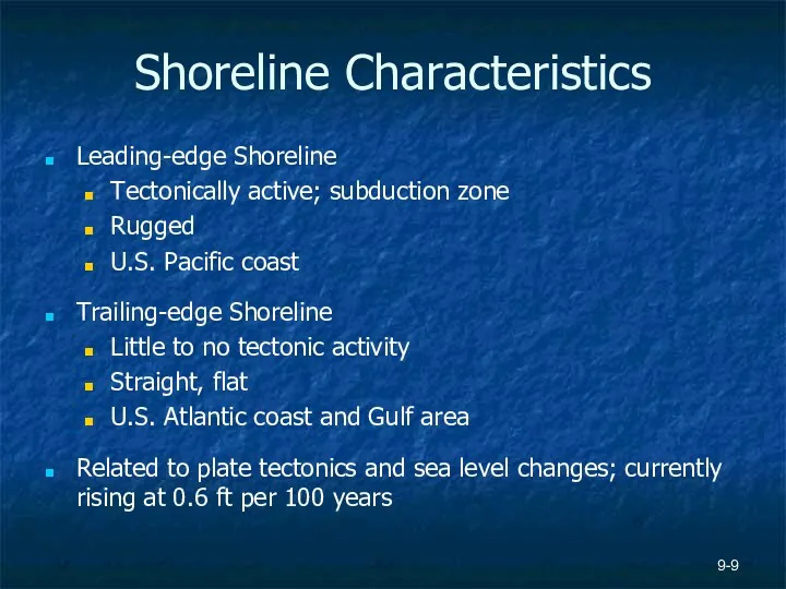
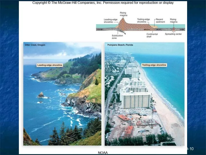
- 9. 9- Shoreline Characteristics Leading-edge Shoreline Tectonically active; subduction zone Rugged U.S. Pacific coast Trailing-edge Shoreline Little
- 10. 9-
- 11. Shoreline Characteristics Mass wasting more prevalent along leading edge shoreline Trailing edge can shift slowly over
- 12. Coastal Processes Ocean tides – periodic rise and fall of sea level. Earth is spinning on
- 13. 9- Coastal Processes Currents – physical movement of water molecules from one location to another; flow
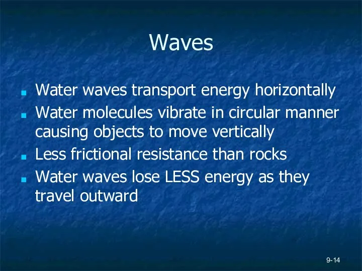
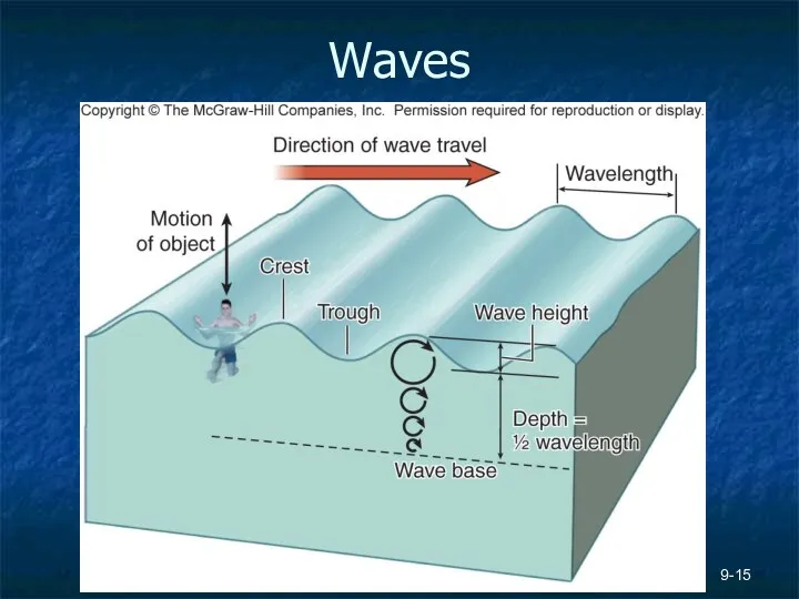
- 14. Waves Water waves transport energy horizontally Water molecules vibrate in circular manner causing objects to move
- 15. 9- Waves
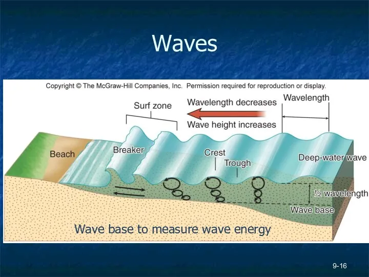
- 16. 9- Waves Wave base to measure wave energy
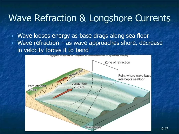
- 17. 9- Wave Refraction & Longshore Currents Wave looses energy as base drags along sea floor Wave
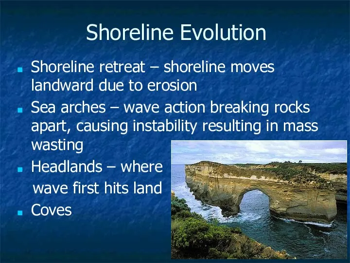
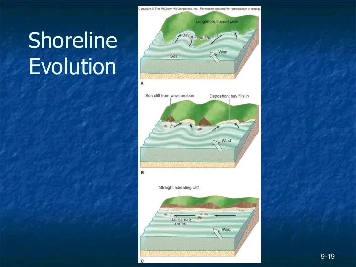
- 18. 9- Shoreline Evolution Shoreline retreat – shoreline moves landward due to erosion Sea arches – wave
- 19. 9- Shoreline Evolution
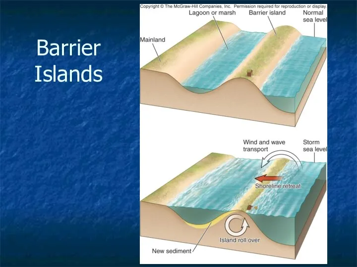
- 20. Barrier Islands
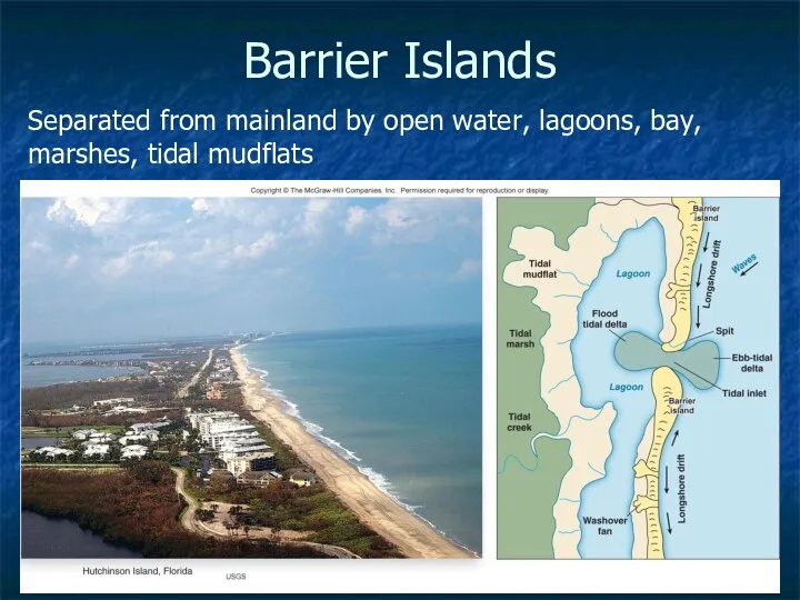
- 21. 9- Barrier Islands Separated from mainland by open water, lagoons, bay, marshes, tidal mudflats
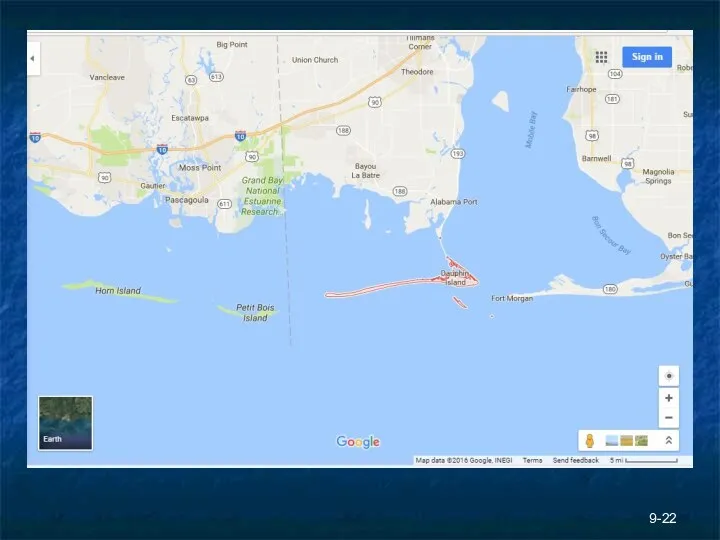
- 22. 9-
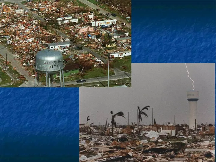
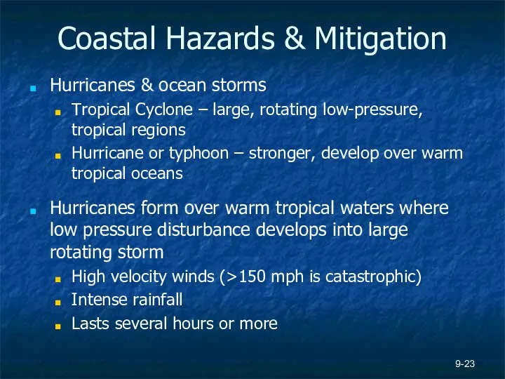
- 23. 9- Coastal Hazards & Mitigation Hurricanes & ocean storms Tropical Cyclone – large, rotating low-pressure, tropical
- 24. Figure 9.13, page 270 9-
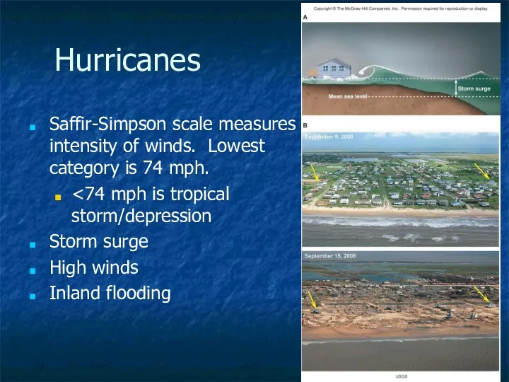
- 25. 9- Hurricanes Saffir-Simpson scale measures intensity of winds. Lowest category is 74 mph. Storm surge High
- 26. Other Ocean Storms Strong storms at higher lats (Pacific Northwest) when cold and warm air masses
- 27. 9- Mitigating Storm Hazards Avoid building in areas of high % landfall See Figure 9.20 Better
- 28. Coastal Hazards and Tsunamis Unusually high energy waves Form from transfer of energy from earthquakes, landslide,
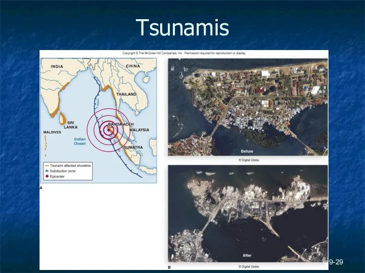
- 29. 9- Tsunamis
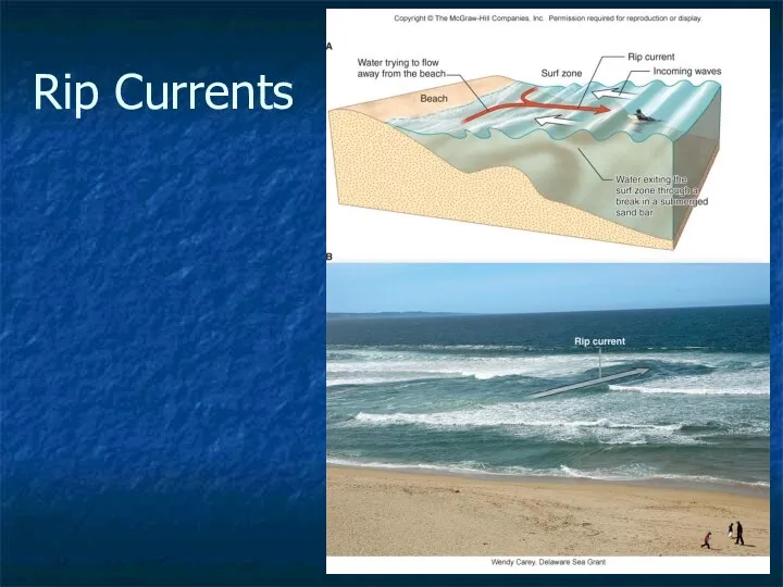
- 30. 9- Rip Currents
- 31. 9- Shoreline Retreat Increased frequency of storms accelerates erosion Effects of sea-level rise See Figure 9.29
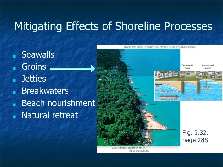
- 32. 9- Mitigating Effects of Shoreline Processes Seawalls Groins Jetties Breakwaters Beach nourishment Natural retreat Fig. 9.32,
- 33. Mitigating Effects of Shoreline Processes Seawalls – physical barrier (concrete, steel, wood, rocks) built along shore
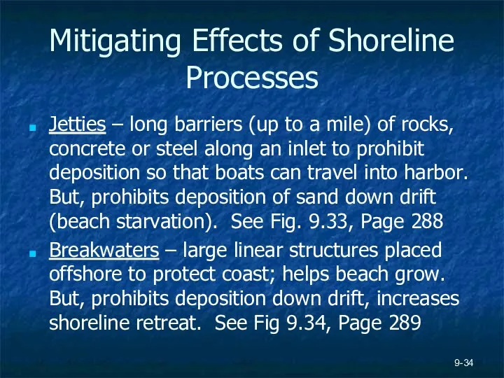
- 34. Mitigating Effects of Shoreline Processes Jetties – long barriers (up to a mile) of rocks, concrete
- 36. Скачать презентацию
The Coast
Coastal environment – setting where terrestrial environment meets marine environment
Coastlines
The Coast
Coastal environment – setting where terrestrial environment meets marine environment
Coastlines
9-
9-
9-
Hurricane Sandy in NYC
9-
Hurricane Sandy in NYC
9-
9-
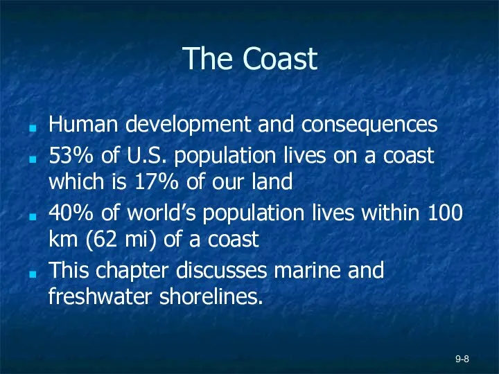
The Coast
Human development and consequences
53% of U.S. population lives on a
The Coast
Human development and consequences
53% of U.S. population lives on a
9-
Shoreline Characteristics
Leading-edge Shoreline
Tectonically active; subduction zone
Rugged
U.S. Pacific coast
Trailing-edge Shoreline
Little to no
9-
Shoreline Characteristics
Leading-edge Shoreline
Tectonically active; subduction zone
Rugged
U.S. Pacific coast
Trailing-edge Shoreline
Little to no
9-
9-
Shoreline Characteristics
Mass wasting more prevalent along leading edge shoreline
Trailing edge can
Shoreline Characteristics
Mass wasting more prevalent along leading edge shoreline
Trailing edge can
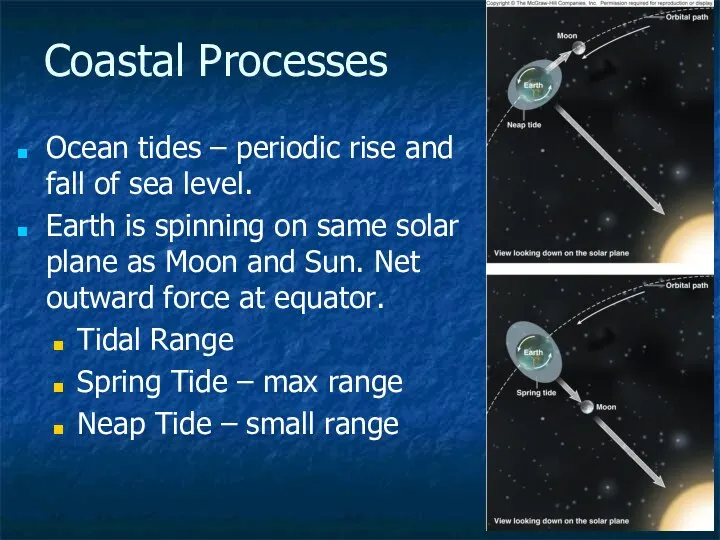
Coastal Processes
Ocean tides – periodic rise and fall of sea level.
Earth
Coastal Processes
Ocean tides – periodic rise and fall of sea level.
Earth
9-
Coastal Processes
Currents – physical movement of water molecules from one location
9-
Coastal Processes
Currents – physical movement of water molecules from one location
Waves
Water waves transport energy horizontally
Water molecules vibrate in circular manner
Waves
Water waves transport energy horizontally
Water molecules vibrate in circular manner
9-
Waves
9-
Waves
9-
Waves
Wave base to measure wave energy
9-
Waves
Wave base to measure wave energy
9-
Wave Refraction & Longshore Currents
Wave looses energy as base drags along
9-
Wave Refraction & Longshore Currents
Wave looses energy as base drags along
9-
Shoreline Evolution
Shoreline retreat – shoreline moves landward due to erosion
Sea arches
9-
Shoreline Evolution
Shoreline retreat – shoreline moves landward due to erosion
Sea arches
9-
Shoreline Evolution
9-
Shoreline Evolution
Barrier Islands
Barrier Islands
9-
Barrier Islands
Separated from mainland by open water, lagoons, bay, marshes, tidal
9-
Barrier Islands
Separated from mainland by open water, lagoons, bay, marshes, tidal
9-
9-
9-
Coastal Hazards & Mitigation
Hurricanes & ocean storms
Tropical Cyclone – large,
9-
Coastal Hazards & Mitigation
Hurricanes & ocean storms
Tropical Cyclone – large,
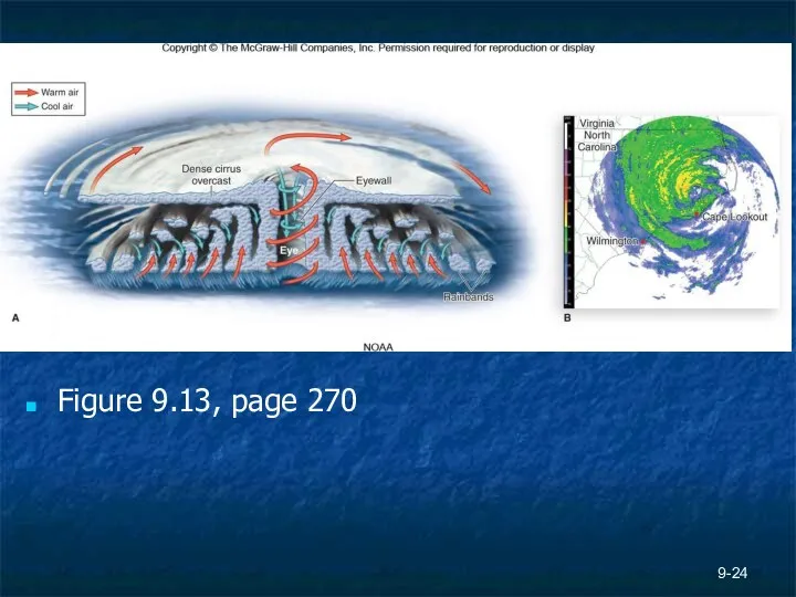
Figure 9.13, page 270
9-
Figure 9.13, page 270
9-
9-
Hurricanes
Saffir-Simpson scale measures intensity of winds. Lowest category is 74 mph.
<74
9-
Hurricanes
Saffir-Simpson scale measures intensity of winds. Lowest category is 74 mph.
<74
Other Ocean Storms
Strong storms at higher lats (Pacific Northwest) when cold
Other Ocean Storms
Strong storms at higher lats (Pacific Northwest) when cold
9-
Mitigating Storm Hazards
Avoid building in areas of high % landfall
See Figure
9-
Mitigating Storm Hazards
Avoid building in areas of high % landfall
See Figure
Coastal Hazards and Tsunamis
Unusually high energy waves
Form from transfer of energy
Coastal Hazards and Tsunamis
Unusually high energy waves
Form from transfer of energy
9-
Tsunamis
9-
Tsunamis
9-
Rip Currents
9-
Rip Currents
9-
Shoreline Retreat
Increased frequency of storms accelerates erosion
Effects of sea-level rise
See Figure
9-
Shoreline Retreat
Increased frequency of storms accelerates erosion
Effects of sea-level rise
See Figure
9-
Mitigating Effects of Shoreline Processes
Seawalls
Groins
Jetties
Breakwaters
Beach nourishment
Natural retreat
Fig. 9.32, page 288
9-
Mitigating Effects of Shoreline Processes
Seawalls
Groins
Jetties
Breakwaters
Beach nourishment
Natural retreat
Fig. 9.32, page 288
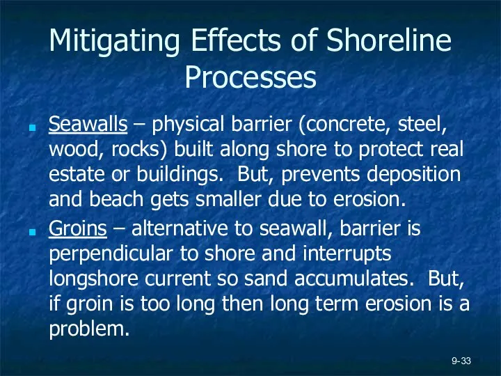
Mitigating Effects of Shoreline Processes
Seawalls – physical barrier (concrete, steel, wood,
Mitigating Effects of Shoreline Processes
Seawalls – physical barrier (concrete, steel, wood,
Mitigating Effects of Shoreline Processes
Jetties – long barriers (up to a
Mitigating Effects of Shoreline Processes
Jetties – long barriers (up to a
 Республика Нигер
 Государство Ирландия
 Город Воронеж
 Климат и внутренние воды Зарубежной Азии. Лекция 7
 Южная Америка (7 класс)
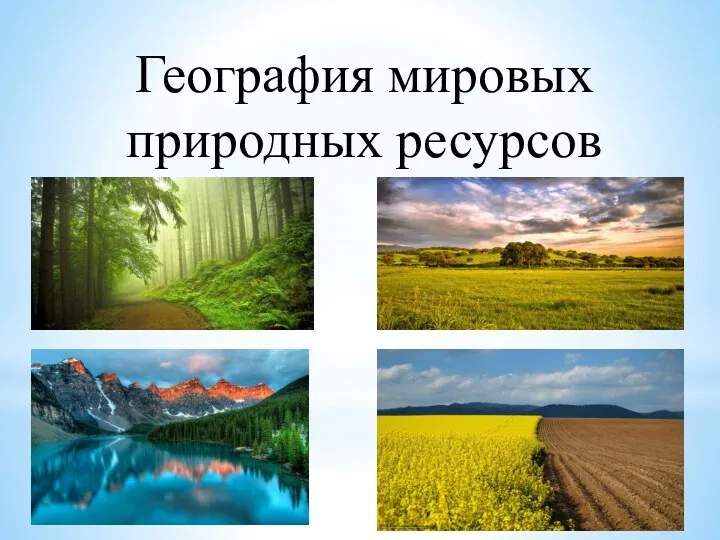 Мировые природные ресурсы
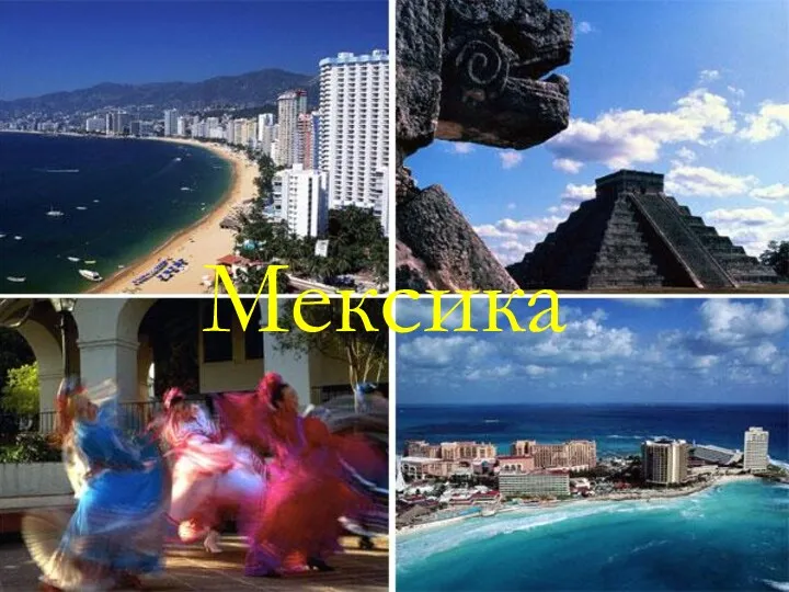 Мексика
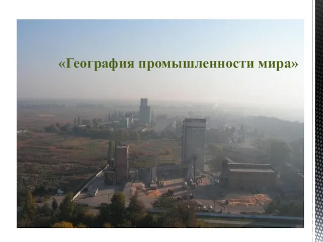 Промышленность мира
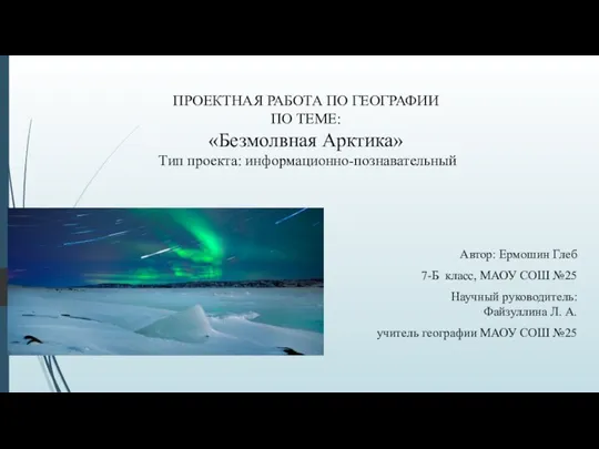 Безмолвная Арктика
 Географиялық диктант
 Объекты инфраструктуры экологического туризма на территории ЦФО
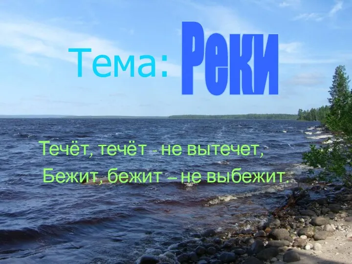 Реки
Реки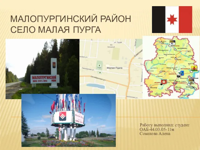 Малопургинский район. Село Малая Пурга
 Основы геолого-гидродинамического моделирования
 Фактори і процеси ґрунтоутворення
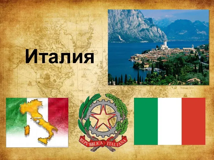 Итальянская Республика
 Город Ливерпуль (Великобритания)
 Мировое сельское хозяйство
 Атмосферное давление
 Изменение климата в эпоху малого ледникогого периода. Малый оптимум голоцента
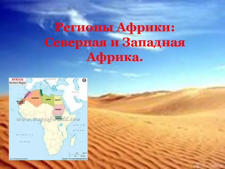 Регионы Африки: Северная и Западная Африка
 Климаты земли. 7 класс
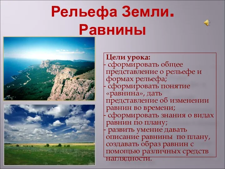 Рельефа Земли. Равнины
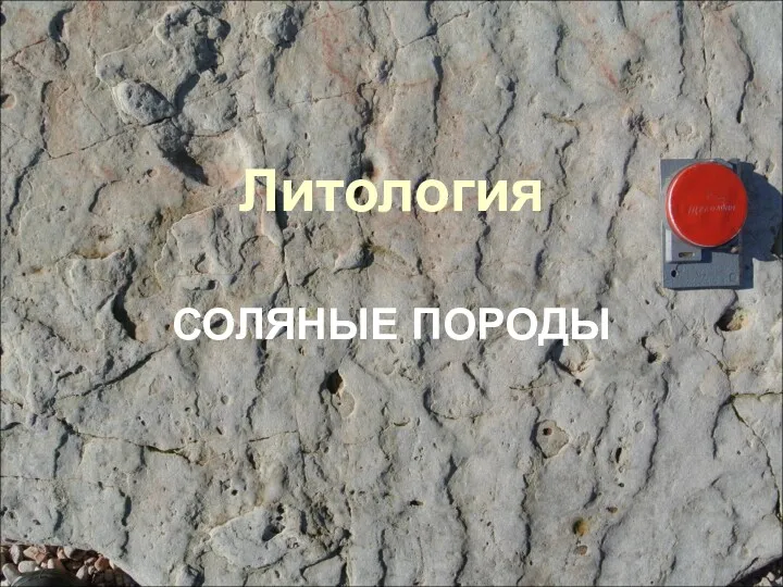 Литология. Соляные породы
 Южно-Сахалинск
 Государственные символы Тувы
 Адам нәсілдері
 Методы географических исследований. 5 класс, урок № 2 (1)