- Достопримечательности Кабардино-Балкарии

Содержание
- 2. KABARDINO-BALKARIA The Kabardino-Balkar Republic is a federal subject of Russia located in the North Caucasus. The
- 3. MOUNT ELBRUS Mount Elbrus is a dormant volcano in the Caucasus Mountains in Southern Russia, near
- 4. BLUE LAKE Located 30 miles (50 kilometers) south from Nalchik, Russia lays the Blue Lake. It
- 5. BLUE LAKE
- 6. CHEGEM WATERFALLS Chegem Waterfalls – Su-Auzu (translated from Balkar “water from the throat”) – a rare
- 7. ADYR-SU GORGE The gorge(Ущелье Адыр-Су), its sheer rock sides rising thousands meters, widens somewhat soon after
- 8. OBSERVATORY TERSKOL Observatory Terskol Peak is an international astronomical observatory founded in 1980 at Terskol Peak.
- 9. ATAZHUKINSKY GARDEN Atazhukinsky Garden is a city culture and leisure park located in Nalchik, the KBR.
- 11. Скачать презентацию
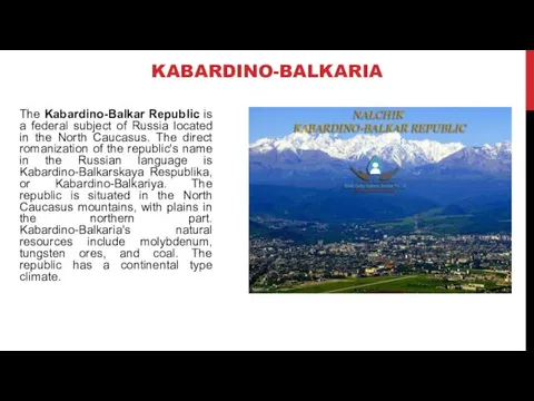
KABARDINO-BALKARIA
The Kabardino-Balkar Republic is a federal subject of Russia located in
KABARDINO-BALKARIA
The Kabardino-Balkar Republic is a federal subject of Russia located in
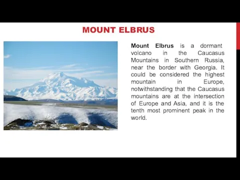
MOUNT ELBRUS
Mount Elbrus is a dormant volcano in the Caucasus Mountains
MOUNT ELBRUS
Mount Elbrus is a dormant volcano in the Caucasus Mountains
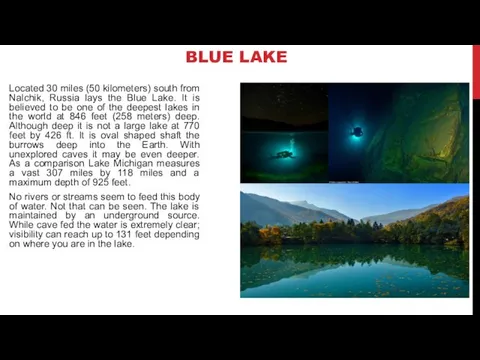
BLUE LAKE
Located 30 miles (50 kilometers) south from Nalchik, Russia lays
BLUE LAKE
Located 30 miles (50 kilometers) south from Nalchik, Russia lays
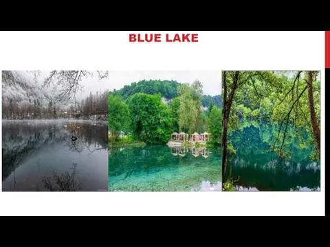
BLUE LAKE
BLUE LAKE
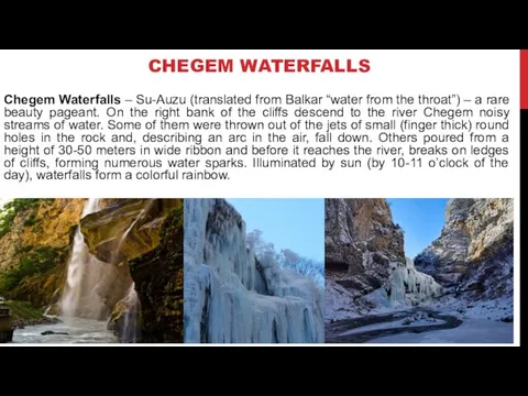
CHEGEM WATERFALLS
Chegem Waterfalls – Su-Auzu (translated from Balkar “water from the
CHEGEM WATERFALLS
Chegem Waterfalls – Su-Auzu (translated from Balkar “water from the
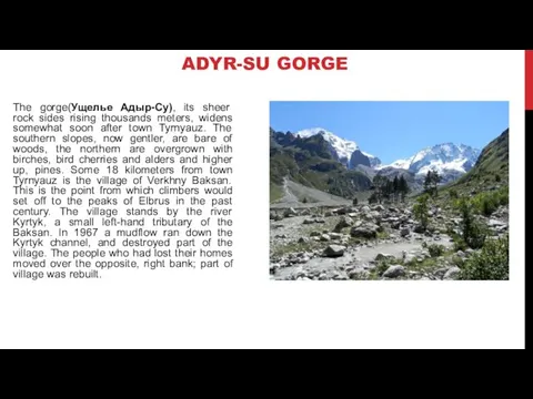
ADYR-SU GORGE
The gorge(Ущелье Адыр-Су), its sheer rock sides rising thousands meters,
ADYR-SU GORGE
The gorge(Ущелье Адыр-Су), its sheer rock sides rising thousands meters,
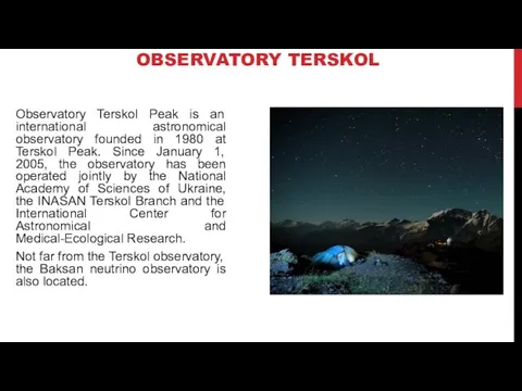
OBSERVATORY TERSKOL
Observatory Terskol Peak is an international astronomical observatory founded in
OBSERVATORY TERSKOL
Observatory Terskol Peak is an international astronomical observatory founded in
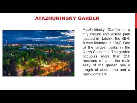
ATAZHUKINSKY GARDEN
Atazhukinsky Garden is a city culture and leisure park located
ATAZHUKINSKY GARDEN
Atazhukinsky Garden is a city culture and leisure park located
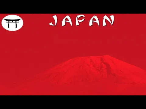 Japan
Japan Численность населения России. Естественный прирост. 8-9 класс
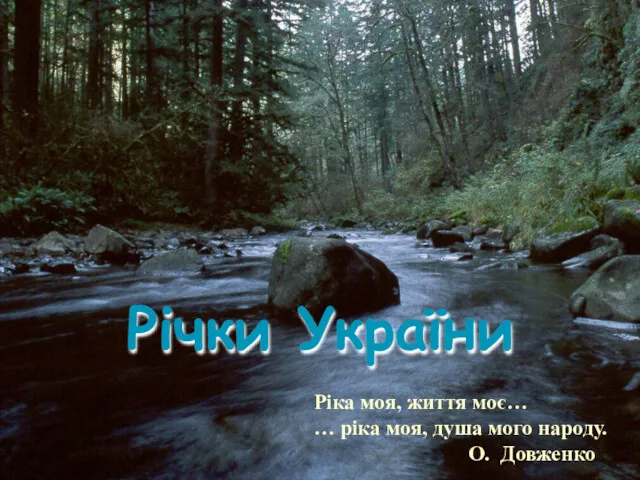 Річки України
 География природных ресурсов мира
 Климатообразующие факторы
 Природные ресурсы. Классификация
 Водные ресурсы России. Реки
 Подземные воды и природные льды
 Основы социальной географии
 Западная Сибирь
 Молодова. Харківська область, Вовчанський район
 New York
 Африка - страна контрастов
 Климат России
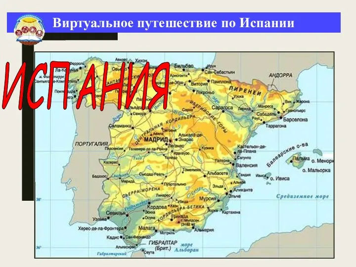 Виртуальное путешествие по Испании
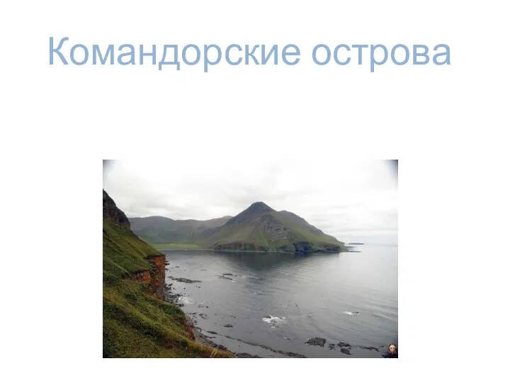 Командорские острова
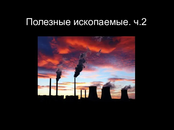 Полезные ископаемые. Часть 2
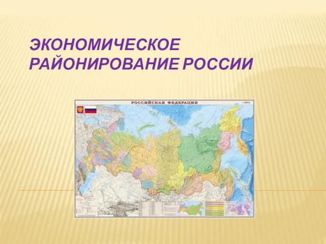 Экономическое районирование России
 Остров музеев в Берлине
 Удмуртская топонимика Кукморского района
 Разнообразие внутренних вод России. Реки
 Экономия воды в быту. 11 класс
 Геохимия магматического процесса
 Ураганы, бури, смерчи, тайфуны, цунами
 Тундра. Географическое положение
 Жер пішіні мен мөлшері. Проекция әдістері. Жер бедері туралы түсінік және оның түрлері. Горизонталь
 Корисні копалини України
 Антарктида. Территория Антарктиды