- Geography of the United States of America

Содержание
- 2. Four U.S. states border Mexico. 1. California 2. Arizona 4. Texas 3. New Mexico
- 3. Thirteen states border Canada. 1. Washington 2. Idaho 3. Montana 4. North Dakota 5. Minnesota
- 4. 6. Michigan 7. Ohio 8. Pennsylvania
- 5. Now where is state number 13? 9. New York 10. Vermont 11. New Hampshire 12. Maine
- 6. In addition to fifty states, there are five U.S. territories. Two are in the Atlantic: Puerto
- 7. The most famous landmark in America is the Statue of Liberty (Liberty Island in New York
- 8. The capital of the United States is Washington, D.C. D. C. stands for District of Columbia.
- 9. Missouri River
- 10. Mississippi River
- 11. American Indians (Native Americans) The best-known tribe in North Carolina is the Cherokee. There are many
- 12. ? Navajo Indians in World War II
- 13. Regions of the United States Northeast South Midwest West
- 14. The Northeast Northeast Maine, New Hampshire, Vermont, Massachusetts, Connecticut, Rhode Island, New York, New Jersey, Pennsylvania,
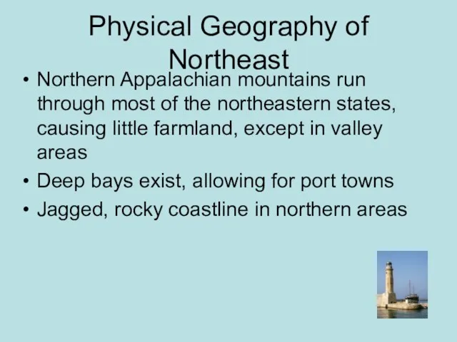
- 15. Physical Geography of Northeast Northern Appalachian mountains run through most of the northeastern states, causing little
- 16. Climate and Vegetation of Northeast: Humid Continental No Dry Season - the area receives precipitation throughout
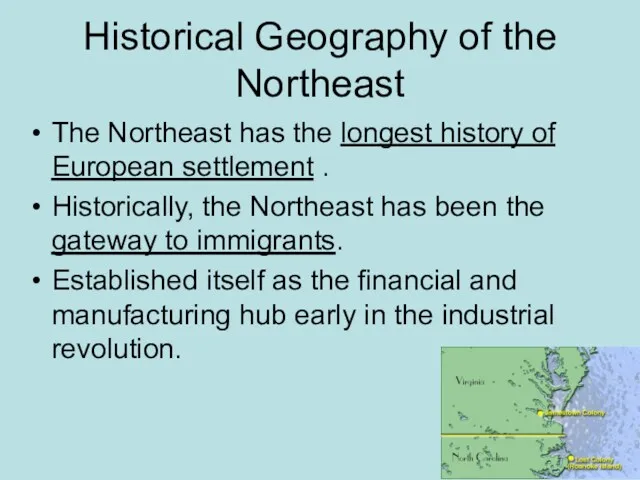
- 17. Historical Geography of the Northeast The Northeast has the longest history of European settlement . Historically,
- 18. Population Geography of the Northeast Population is concentrated in the Megalopolis that runs from Boston to
- 19. Land Use in the Northeast Dairy Farming Farming Timber Maritime Activity Some Mining Note: As you
- 20. Economic Geography Northeast is the heart of the Manufacturing core, but lately has been termed the
- 21. New England Legacy New England is famous for its “prep schools” and is home to some
- 22. New England Politics New England is generally progressive in politics and states usually are affiliated with
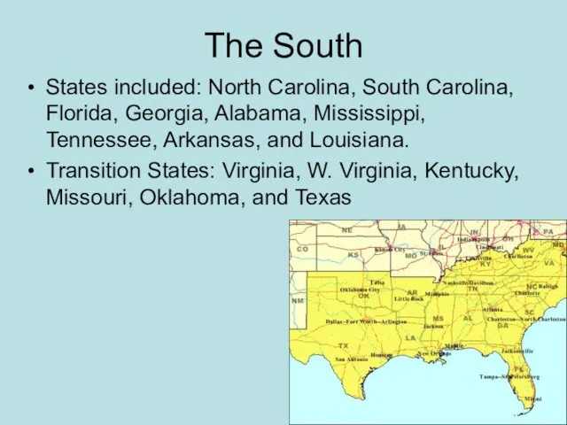
- 23. The South States included: North Carolina, South Carolina, Florida, Georgia, Alabama, Mississippi, Tennessee, Arkansas, and Louisiana.
- 24. Climate and Vegetation of the South Humid subtropical, with hot, humid summers and long growing season.
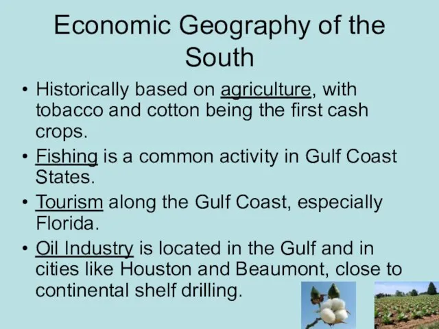
- 25. Economic Geography of the South Historically based on agriculture, with tobacco and cotton being the first
- 26. Political Activity The South is known for its conservatism. The Republican Party dominates the South as
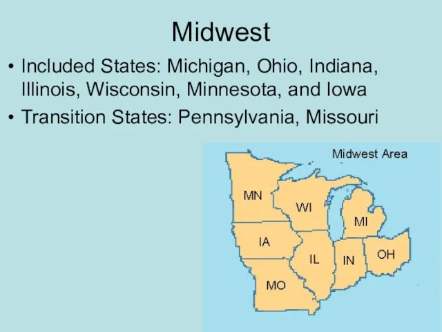
- 27. Midwest Included States: Michigan, Ohio, Indiana, Illinois, Wisconsin, Minnesota, and Iowa Transition States: Pennsylvania, Missouri
- 28. Physical Geography of Midwest Flat landscape, with river basins. Distinctive Great Lakes, which provide for shipping.
- 29. Climate of the Midwest: Humid Continental No Dry Season- this area receives precipitation throughout the year.
- 30. Historical Geography of the Midwest The Mid-west was considered the “Western Frontier”, hence the name. Historically
- 31. Population Large cities include Chicago and Detroit The region is evenly distributed. Population is dense along
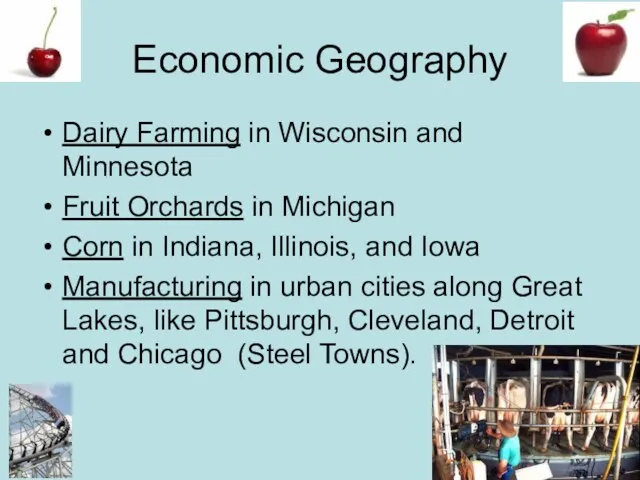
- 32. Economic Geography Dairy Farming in Wisconsin and Minnesota Fruit Orchards in Michigan Corn in Indiana, Illinois,
- 33. Corn is most notably grown, but soybeans, wheat, and fruits orchards are also commonly found throughout
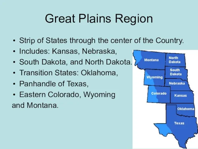
- 34. Great Plains Region Strip of States through the center of the Country. Includes: Kansas, Nebraska, South
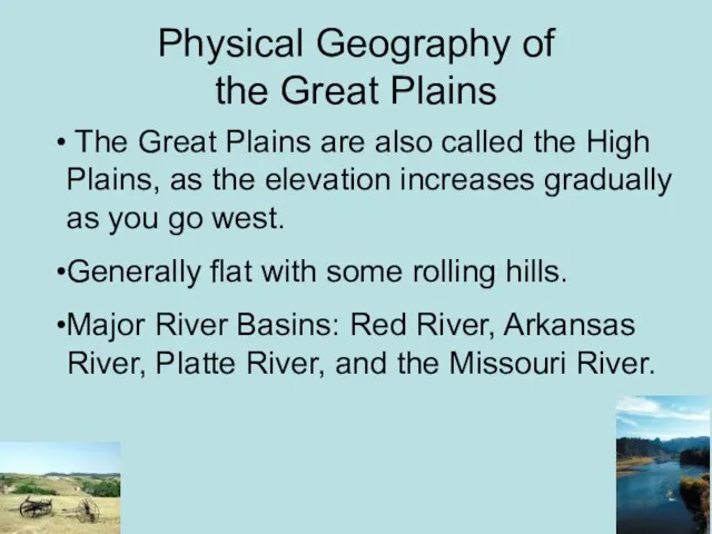
- 35. Physical Geography of the Great Plains The Great Plains are also called the High Plains, as
- 36. Climate of the Great Plains This area receives little rainfall (less than 18 in. a year
- 37. Historical Geography of the Great Plains Before Americans settled the frontier, the Great Plains was home
- 38. Homestead Act of 1862 This act provided each settler with 160 acres of land, as long
- 39. Population of the Great Plains: Rural and declining
- 40. Mountain and Basin States States included: New Mexico, Colorado, Wyoming, Montana, Idaho, Utah, Nevada, Arizona Transitions:
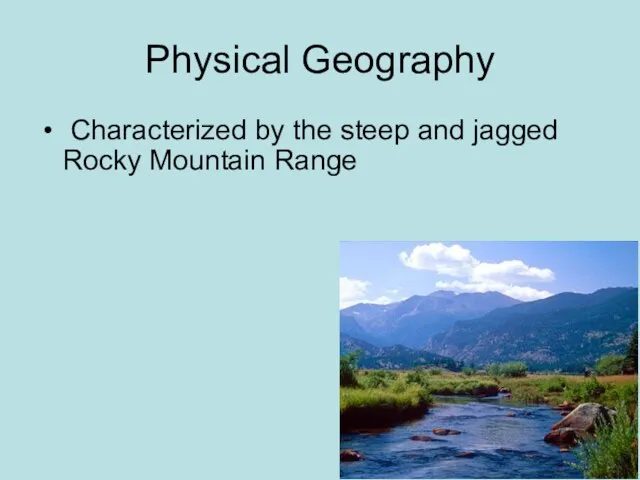
- 41. Physical Geography Characterized by the steep and jagged Rocky Mountain Range
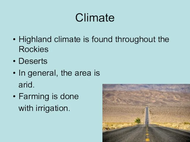
- 42. Climate Highland climate is found throughout the Rockies Deserts In general, the area is arid. Farming
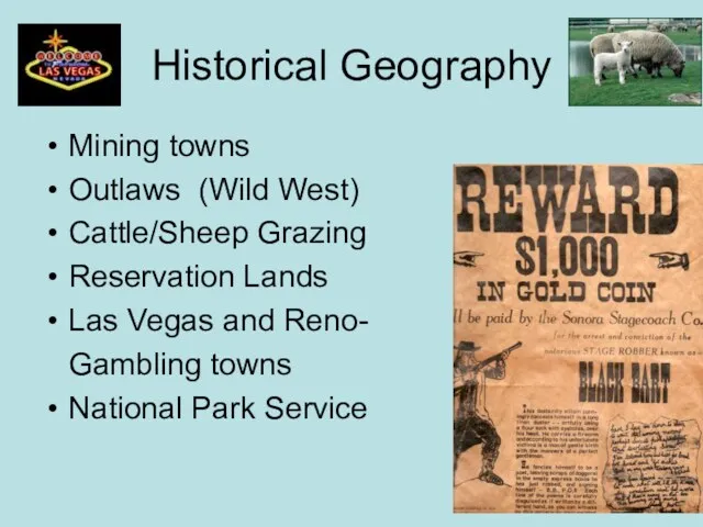
- 43. Historical Geography Mining towns Outlaws (Wild West) Cattle/Sheep Grazing Reservation Lands Las Vegas and Reno- Gambling
- 44. Population Geography Not densely populated. Major urban centers include: Denver, Salt Lake City, Phoenix.
- 45. Economic Activity Grazing Mining Tourism Lumber
- 46. Pacific Coast States California, Oregon and Washington
- 47. Physical Geography of West Coast Mountain Ranges (Sierra Nevada and the Cascades) and Rocky coastlines due
- 48. Southern California The continual presence of natural hazards, including fire, flood, earthquakes, and intense drought, has
- 49. Population Geography More dense along the coastal areas, especially between San Diego, LA, and San Francisco.
- 50. Economic Activity Movie Industry Wine (Napa and Sonoma) Tourism Fishing on the coast
- 52. Скачать презентацию
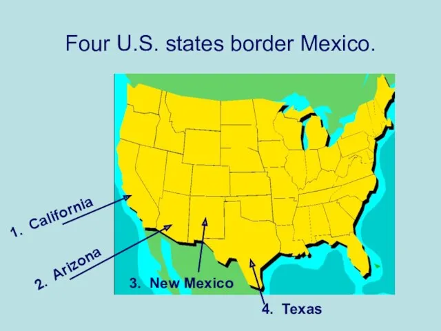
Four U.S. states border Mexico.
1. California
2. Arizona
4. Texas
3. New Mexico
Four U.S. states border Mexico.
1. California
2. Arizona
4. Texas
3. New Mexico
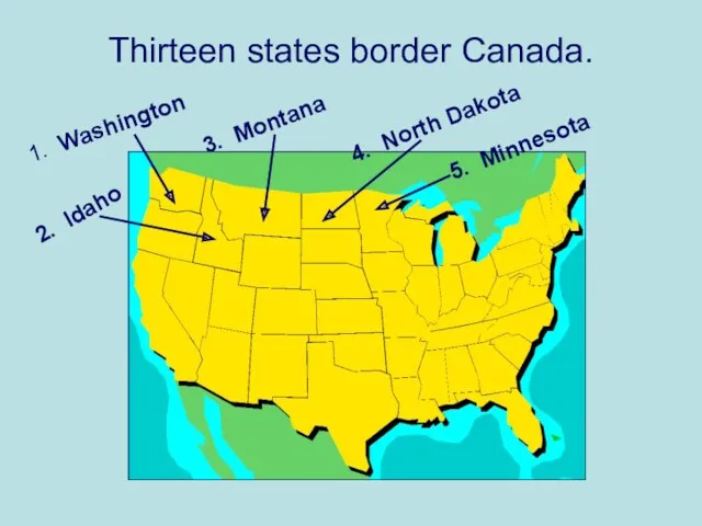
Thirteen states border Canada.
1. Washington
2. Idaho
3. Montana
4. North Dakota
5. Minnesota
Thirteen states border Canada.
1. Washington
2. Idaho
3. Montana
4. North Dakota
5. Minnesota
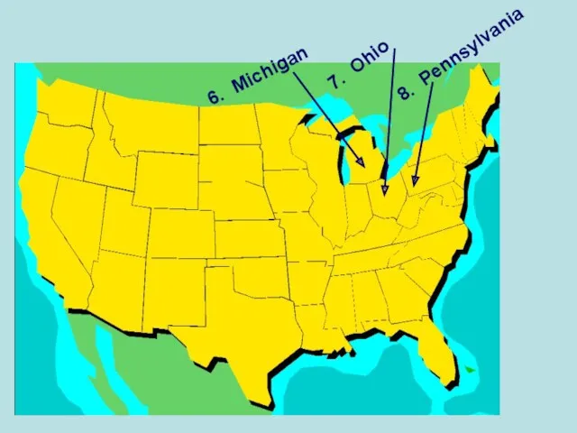
6. Michigan
7. Ohio
8. Pennsylvania
6. Michigan
7. Ohio
8. Pennsylvania
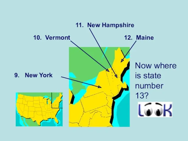
Now where is state number 13?
9. New York
10. Vermont
11. New
Now where is state number 13?
9. New York
10. Vermont
11. New
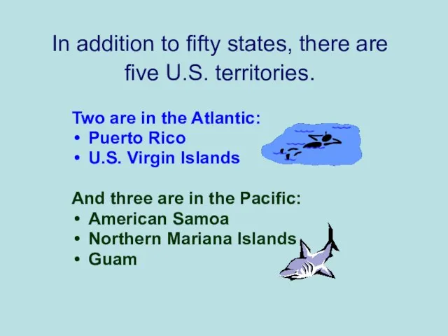
In addition to fifty states, there are
five U.S. territories.
Two are
In addition to fifty states, there are
five U.S. territories.
Two are

The most famous landmark in America is the Statue of Liberty
The most famous landmark in America is the Statue of Liberty
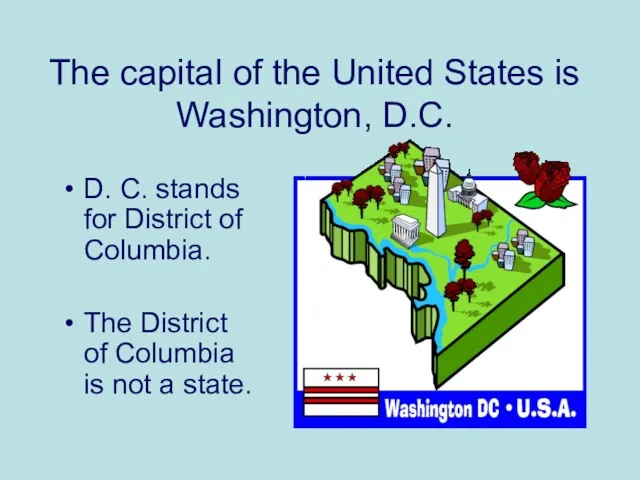
The capital of the United States is Washington, D.C.
D. C. stands
The capital of the United States is Washington, D.C.
D. C. stands
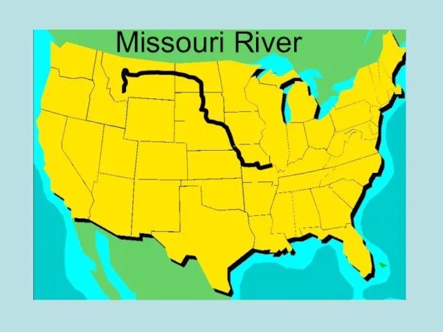
Missouri River
Missouri River
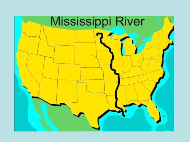
Mississippi River
Mississippi River
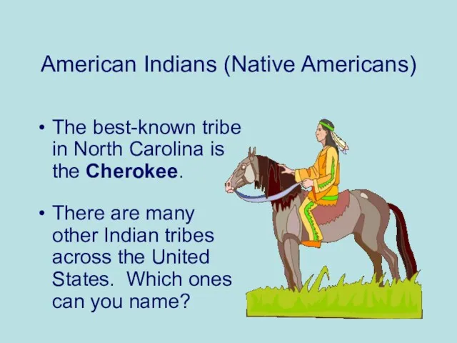
American Indians (Native Americans)
The best-known tribe in North Carolina is
American Indians (Native Americans)
The best-known tribe in North Carolina is
?
Navajo Indians in
World War II
?
Navajo Indians in
World War II
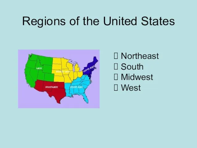
Regions of the United States
Northeast
South
Midwest
West
Regions of the United States
Northeast
South
Midwest
West
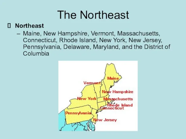
The Northeast
Northeast
Maine, New Hampshire, Vermont, Massachusetts, Connecticut, Rhode Island, New
The Northeast
Northeast
Maine, New Hampshire, Vermont, Massachusetts, Connecticut, Rhode Island, New
Physical Geography of Northeast
Northern Appalachian mountains run through most of the
Physical Geography of Northeast
Northern Appalachian mountains run through most of the
Climate and Vegetation of Northeast: Humid Continental
No Dry Season - the
Climate and Vegetation of Northeast: Humid Continental
No Dry Season - the
Historical Geography of the Northeast
The Northeast has the longest history of
Historical Geography of the Northeast
The Northeast has the longest history of
Population Geography of the Northeast
Population is concentrated in the Megalopolis that
Population Geography of the Northeast
Population is concentrated in the Megalopolis that
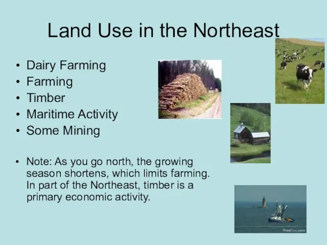
Land Use in the Northeast
Dairy Farming
Farming
Timber
Maritime Activity
Some Mining
Note: As you
Land Use in the Northeast
Dairy Farming
Farming
Timber
Maritime Activity
Some Mining
Note: As you
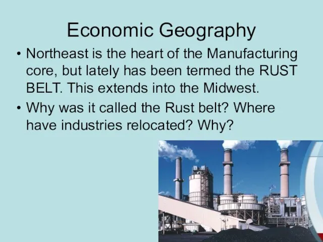
Economic Geography
Northeast is the heart of the Manufacturing core, but lately
Economic Geography
Northeast is the heart of the Manufacturing core, but lately
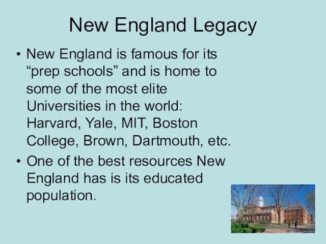
New England Legacy
New England is famous for its “prep schools” and
New England Legacy
New England is famous for its “prep schools” and
New England Politics
New England is generally progressive in politics and states
New England Politics
New England is generally progressive in politics and states
The South
States included: North Carolina, South Carolina, Florida, Georgia, Alabama, Mississippi,
The South
States included: North Carolina, South Carolina, Florida, Georgia, Alabama, Mississippi,

Climate and Vegetation of the South
Humid subtropical, with hot, humid summers
Climate and Vegetation of the South
Humid subtropical, with hot, humid summers
Economic Geography of the South
Historically based on agriculture, with tobacco and
Economic Geography of the South
Historically based on agriculture, with tobacco and
Political Activity
The South is known for its conservatism.
The Republican Party
Political Activity
The South is known for its conservatism.
The Republican Party
Midwest
Included States: Michigan, Ohio, Indiana, Illinois, Wisconsin, Minnesota, and Iowa
Transition States:
Midwest
Included States: Michigan, Ohio, Indiana, Illinois, Wisconsin, Minnesota, and Iowa
Transition States:
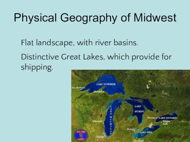
Physical Geography of Midwest
Flat landscape, with river basins.
Distinctive Great Lakes, which
Physical Geography of Midwest
Flat landscape, with river basins.
Distinctive Great Lakes, which
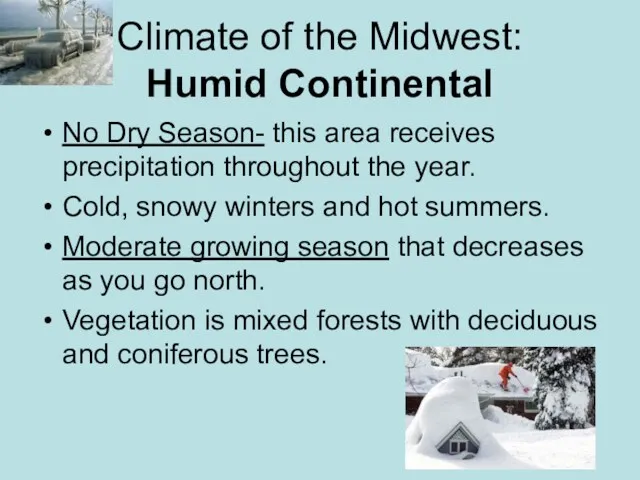
Climate of the Midwest:
Humid Continental
No Dry Season- this area receives
Climate of the Midwest:
Humid Continental
No Dry Season- this area receives
Historical Geography of the Midwest
The Mid-west was considered the “Western Frontier”,
Historical Geography of the Midwest
The Mid-west was considered the “Western Frontier”,
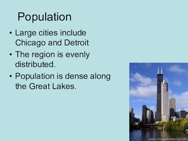
Population
Large cities include Chicago and Detroit
The region is evenly distributed.
Population is
Population
Large cities include Chicago and Detroit
The region is evenly distributed.
Population is
Economic Geography
Dairy Farming in Wisconsin and Minnesota
Fruit Orchards in Michigan
Corn in
Economic Geography
Dairy Farming in Wisconsin and Minnesota
Fruit Orchards in Michigan
Corn in
Corn is most notably grown, but soybeans, wheat, and fruits orchards
Corn is most notably grown, but soybeans, wheat, and fruits orchards
Great Plains Region
Strip of States through the center of the Country.
Includes:
Great Plains Region
Strip of States through the center of the Country.
Includes:
Physical Geography of
the Great Plains
The Great Plains are also
Physical Geography of
the Great Plains
The Great Plains are also
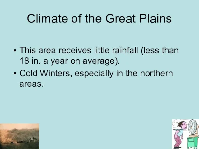
Climate of the Great Plains
This area receives little rainfall (less than
Climate of the Great Plains
This area receives little rainfall (less than
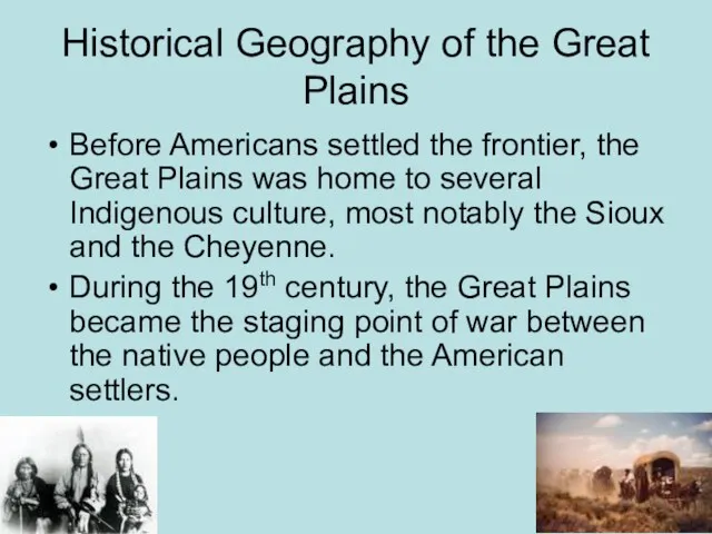
Historical Geography of the Great Plains
Before Americans settled the frontier, the
Historical Geography of the Great Plains
Before Americans settled the frontier, the
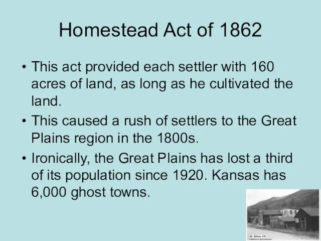
Homestead Act of 1862
This act provided each settler with 160 acres
Homestead Act of 1862
This act provided each settler with 160 acres
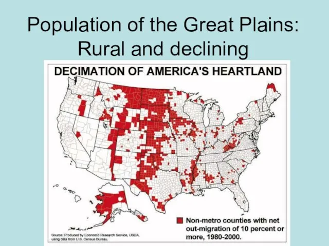
Population of the Great Plains: Rural and declining
Population of the Great Plains: Rural and declining
Mountain and Basin States
States included: New Mexico, Colorado, Wyoming, Montana,
Mountain and Basin States
States included: New Mexico, Colorado, Wyoming, Montana,
Physical Geography
Characterized by the steep and jagged Rocky Mountain
Physical Geography
Characterized by the steep and jagged Rocky Mountain
Climate
Highland climate is found throughout the Rockies
Deserts
In general, the area is
Climate
Highland climate is found throughout the Rockies
Deserts
In general, the area is
Historical Geography
Mining towns
Outlaws (Wild West)
Cattle/Sheep Grazing
Reservation Lands
Las Vegas and Reno-
Historical Geography
Mining towns
Outlaws (Wild West)
Cattle/Sheep Grazing
Reservation Lands
Las Vegas and Reno-
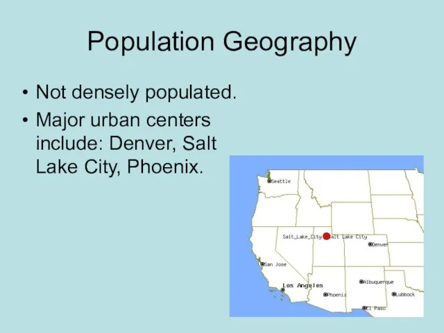
Population Geography
Not densely populated.
Major urban centers include: Denver, Salt Lake
Population Geography
Not densely populated.
Major urban centers include: Denver, Salt Lake
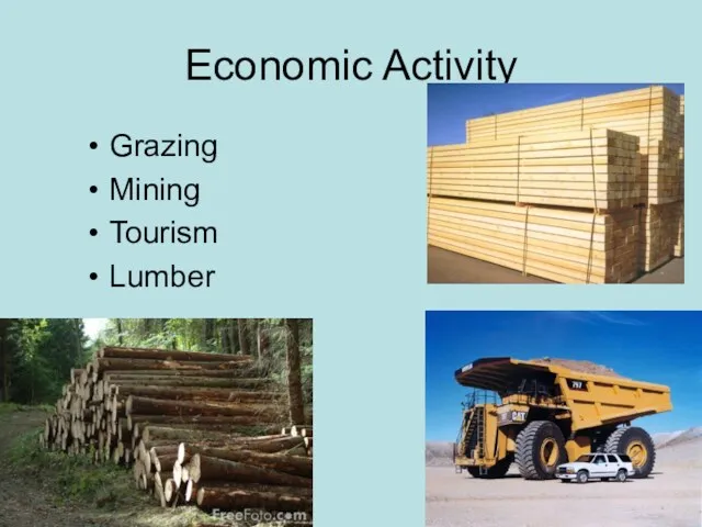
Economic Activity
Grazing
Mining
Tourism
Lumber
Economic Activity
Grazing
Mining
Tourism
Lumber
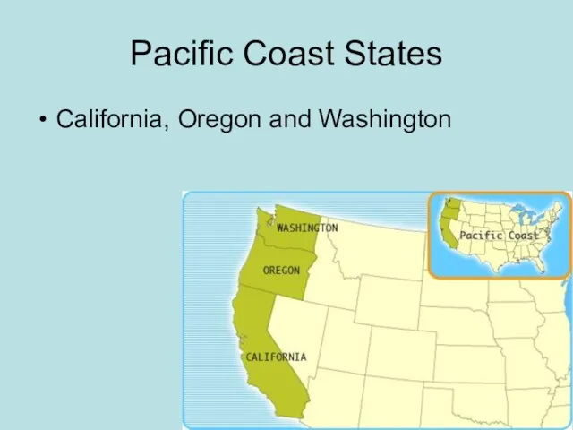
Pacific Coast States
California, Oregon and Washington
Pacific Coast States
California, Oregon and Washington
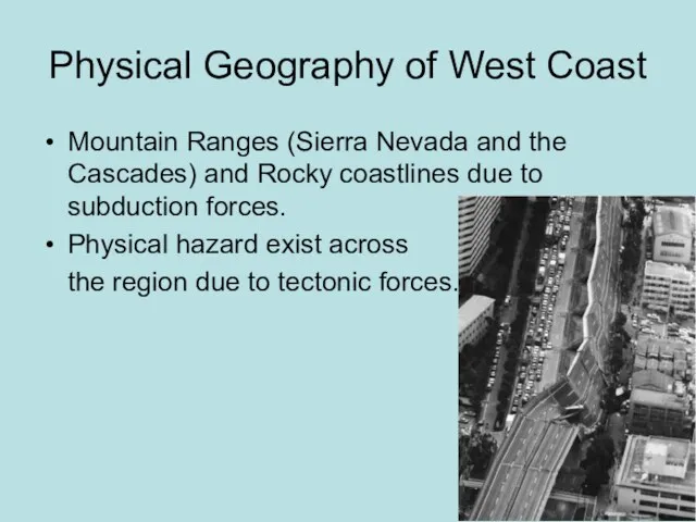
Physical Geography of West Coast
Mountain Ranges (Sierra Nevada and the Cascades)
Physical Geography of West Coast
Mountain Ranges (Sierra Nevada and the Cascades)
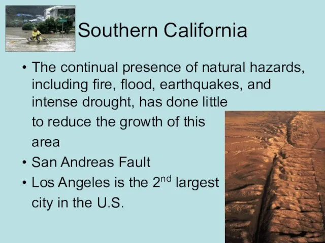
Southern California
The continual presence of natural hazards, including fire, flood, earthquakes,
Southern California
The continual presence of natural hazards, including fire, flood, earthquakes,
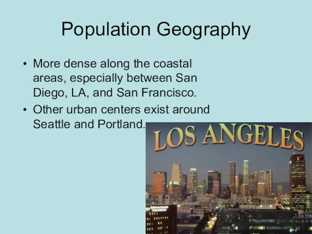
Population Geography
More dense along the coastal areas, especially between San Diego,
Population Geography
More dense along the coastal areas, especially between San Diego,
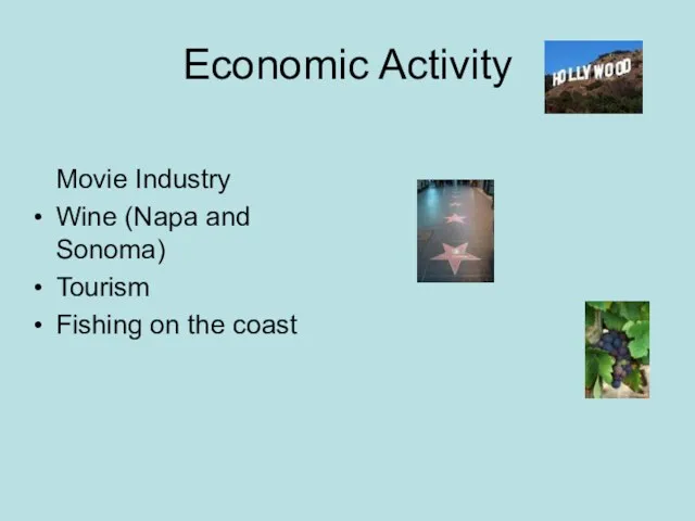
Economic Activity
Movie Industry
Wine (Napa and Sonoma)
Tourism
Fishing on the coast
Economic Activity
Movie Industry
Wine (Napa and Sonoma)
Tourism
Fishing on the coast
 Фотограмметрия и дистанционное зондирование
 Западно-сибирский экономический район
 Мінерально-сировинні ресурси України. Паливні корисні копалини
 Мир и Россия в начале эпохи Великих географических открытий
 Методы географии. Язык географии
 Высотная поясность
 Путешествие по странам и континентам. Интеллектуальная игра
 Национальный природный парк Алтын-Эмель
 Численность населения России
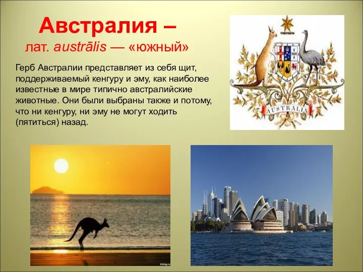 Материк Австралия
 20230924_rossiya_na_karte_chasovyh_poyasov
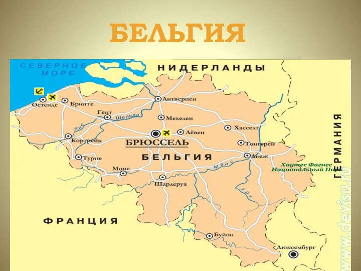 Бельгия
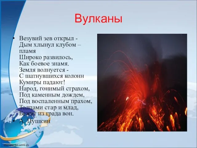 Вулканы. Строение вулканов
 Особенности природы Антарктиды
 Страны Западной Европы. Великобритания
 Семь чудес света России
 Аналитическое счисление. Аналитический учет течения. Сущность аналитического счисления и вывод основных формул
 Европа. Путешествие
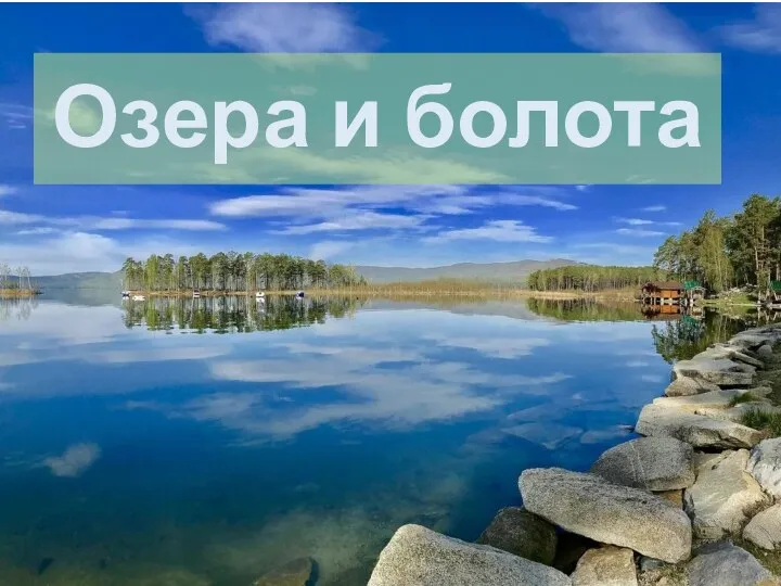 Озера и болота (6 класс)
 Климатообразующие факторы. 8 класс
 География Тюменской области
 Познание земли в древности
 Природа Европейского Севера
 Как люди открывали и изучали Землю
 Виды воды в горных породах
 Физико-географическая характеристика Южного Урала
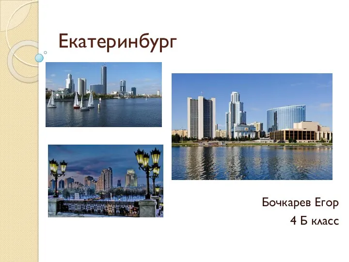 Екатеринбург
 Поверхность нашего края. 4 класс