- Spatial data development for SDI

Содержание
- 2. 2.1. Context and rationale of spatial data development 2.1.1. Spatial data development in the times of
- 3. 4) Maps: – Were not necessarily a consumer product; – But were considered part of the
- 4. 6) Such applications did not vary much across borders, and therefore a similar range of products
- 5. 7) National interoperability was achieved: – Other mapping products and projects would use mentioned main ‘basic
- 6. 2.1.2. Spatial data development in the times of GIS technology: 1) The old 'mapping monopoly' was
- 7. 3) However: a) The overall cost of developing geospatial data required to support GIS applications remains
- 8. 4) These problems arise from the fact that existing geospatial data sets have been poorly documented
- 9. 5) As a result, the new era of GIS is still characterized by: a) Many actors
- 10. 2.2. Development of consistent reusable themes of base cartographic content for SDI 1. The development of
- 11. 2. Such themes are known as Framework, Fundamental, Foundation, or Core data etc.; 3. Sometimes they
- 12. 4. Sometimes 4 separate terms are used such as: a) Reference data; b) Core data; c)
- 13. 2.2.1. Reference data 1. For cartographers: 1) The primary reference for cartographers is the geodetic and
- 14. 2. For GI users: 1) The ‘reference’ of the GI user is generally more closely related
- 15. 2.2.2. Core data 1. On the one hand: – The core data may be also considered
- 16. 2. On another hand we'll use more accurate approach, according to which: a) Core data –
- 17. 3. The concept of the ‘core data’ is one instrumentality to help improving spatial data interoperability:
- 18. 4. The concept of the core data aims at sharing the core data sets between users
- 19. 5. Core data: 1) Have to be used as a rule in a global or at
- 20. e) The Global Map could be considered as an initial implementation of the concept of a
- 21. 2.2.3. Framework data 1. At the national level, common spatial data are often defined through community
- 22. 3. The framework data’s key aspects are: a) Specific layers of digital geographic data with content
- 23. 5. Fundamental Data are: a) A dataset for which several government agencies, regional groups and/or industry
- 24. 7. Leverages of framework data development: 1) Aspects of such problem: a) Thousands of organizations spend
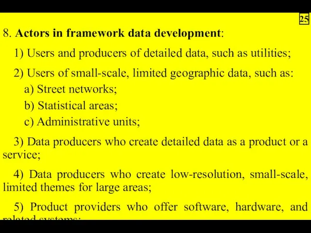
- 25. 8. Actors in framework data development: 1) Users and producers of detailed data, such as utilities;
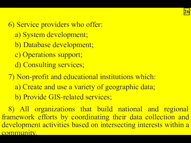
- 26. 6) Service providers who offer: a) System development; b) Database development; c) Operations support; d) Consulting
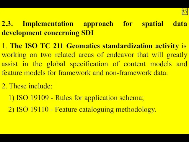
- 27. 2.3. Implementation approach for spatial data development concerning SDI 1. The ISO TC 211 Geomatics standardization
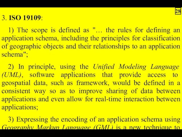
- 28. 3. ISO 19109: 1) The scope is defined as "… the rules for defining an application
- 29. Notes. 1. Unified Modeling Language (UML) – a schema language that is used to develop computer-interpretable
- 30. 4. ISO 19110: 1) Standard proposes a feature cataloguing methodology; 2) It is intended to define
- 31. 5. Several national projects have been undertaken to build standardized framework data content and/or encoding: 1)
- 32. 2.4. Candidate national framework data categories 1. A variable number of data layers may be considered
- 33. Note. Orthoimagery – aerial photography from which distortion and ground relief has been removed so that
- 34. 3. The Global Mapping Project, also known as Global Map: 1) Is addressing the compilation of
- 36. Скачать презентацию

2.1. Context and rationale of spatial data development
2.1.1. Spatial data development
2.1.1. Spatial data development
4) Maps:
– Were not necessarily a consumer product;
– But were considered
– Were not necessarily a consumer product;
– But were considered

6) Such applications did not vary much across borders, and therefore
7) National interoperability was achieved:
– Other mapping products and projects would
– Other mapping products and projects would

2.1.2. Spatial data development in the times of GIS technology:
1) The
1) The
3) However:
a) The overall cost of developing geospatial data required to
a) The overall cost of developing geospatial data required to
4) These problems arise from the fact that existing geospatial data
5) As a result, the new era of GIS is still
2.2. Development of consistent reusable themes of base cartographic content for
2. Such themes are known as Framework, Fundamental, Foundation, or Core

4. Sometimes 4 separate terms are used such as:
a) Reference data;
b)
a) Reference data;
b)

2.2.1. Reference data
1. For cartographers:
1) The primary reference for cartographers is
1. For cartographers:
1) The primary reference for cartographers is
2. For GI users:
1) The ‘reference’ of the GI user is
2. For GI users:
1) The ‘reference’ of the GI user is
2.2.2. Core data
1. On the one hand:
– The core data may
1. On the one hand:
– The core data may
2. On another hand we'll use more accurate approach, according to
3. The concept of the ‘core data’ is one instrumentality to

4. The concept of the core data aims at sharing the
5. Core data:
1) Have to be used as a rule in
1) Have to be used as a rule in
e) The Global Map could be considered as an initial implementation
2.2.3. Framework data
1. At the national level, common spatial data are
1. At the national level, common spatial data are
3. The framework data’s key aspects are:
a) Specific layers of digital
a) Specific layers of digital
5. Fundamental Data are:
a) A dataset for which several government agencies,
a) A dataset for which several government agencies,

7. Leverages of framework data development:
1) Aspects of such problem:
a) Thousands
1) Aspects of such problem:
a) Thousands
8. Actors in framework data development:
1) Users and producers of detailed
1) Users and producers of detailed
6) Service providers who offer:
a) System development;
b) Database development;
c) Operations support;
d)
a) System development;
b) Database development;
c) Operations support;
d)
2.3. Implementation approach for spatial data development concerning SDI
1. The ISO
1. The ISO
3. ISO 19109:
1) The scope is defined as "… the
1) The scope is defined as "… the
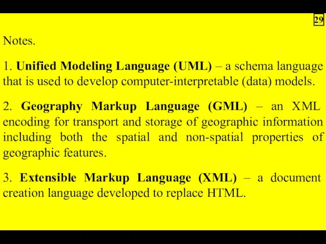
Notes.
1. Unified Modeling Language (UML) – a schema language that is
1. Unified Modeling Language (UML) – a schema language that is

4. ISO 19110:
1) Standard proposes a feature cataloguing methodology;
2) It
1) Standard proposes a feature cataloguing methodology;
2) It

5. Several national projects have been undertaken to build standardized framework

2.4. Candidate national framework data categories
1. A variable number of data
1. A variable number of data
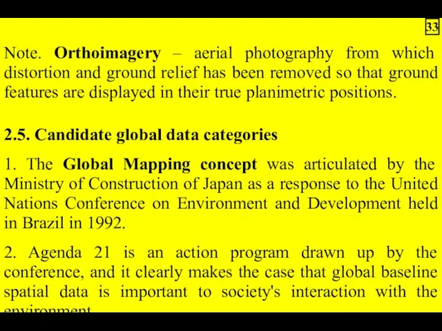
Note. Orthoimagery – aerial photography from which distortion and ground relief

3. The Global Mapping Project, also known as Global Map:
1) Is
1) Is
 ЗАДАНИЯ для интер доски к уроку ОБЪЕКТ
 Введение в электронную коммерцию
 Проектування реляційної бази даних. Лекції 6, 7, 8, 9
 What is Samhain?
 Множественное наследование. Лекция 18
 Многоуровневые списки
 Скрипты предложения продукта ШПД и работа с возражениями
 Алгоритмы и исполнители. (5 класс)
 Единая автоматизированная информационная система торгов 2.0
 ЕГЭ по информатике: 2018 и далее
 Инструментальные средства работы с графической информацией. Лекция 4
 Презентация Логика. Тренировочные задания ЕГЭ
 Основные принципы обработки числовой информации
 Табличный процессор Microsoft Excel 2007
 Копирайтер
 Материалы практической работы по теме Разработка интерактивных презентаций в программе MS PowerPoint
 Как создать свой сайт?
 Социальные сети
 Quick Manual (Q&A)
 Частный IP-адрес
 Нормальная форма
 Киты и бабочки. Группы смерти. Факторы риска вовлечения в деструктивные группы в социальных сетях
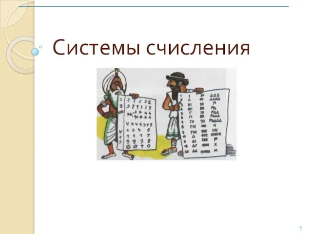 Системы счисления
 DS программирование. Множества
 WEB application security
 Облачные технологии в управлении проектами
 Інформаційна безпека в ІСМ. (Тема 10)
 Дорожная карта. Твой план дальнейших действий