- Bridge crossing safety

Содержание
- 2. Flooding in the upper Condamine in early January 2008 produced conditions unseen for more than a
- 4. A car appears on the far side of the flooded bridge. The driver seems to be
- 5. Ignoring the “Road Closed” sign, he heads straight in. Doesn’t even bother walking in a little
- 7. Yes, he’s towing a boat.
- 8. The river is about 150 meters across and the current is really strong.
- 9. This chart shows the peak of the flood recorded at the bridge recording station. The crossing
- 10. The Bridge is normally 6-7 meters above the water level here.
- 11. The current pushes the vehicle and boat downstream.
- 12. Note that there is now way to tell whether the bridge has been washed away.
- 14. Note also the youthful passenger—a great lesson in risk management from the kid’s father at the
- 15. The driver seemed nonchalant as he opened the doors to let the water drain out. He
- 16. Questions Would you like to be his insurance agent? If he had a snorkel, would he
- 18. Скачать презентацию
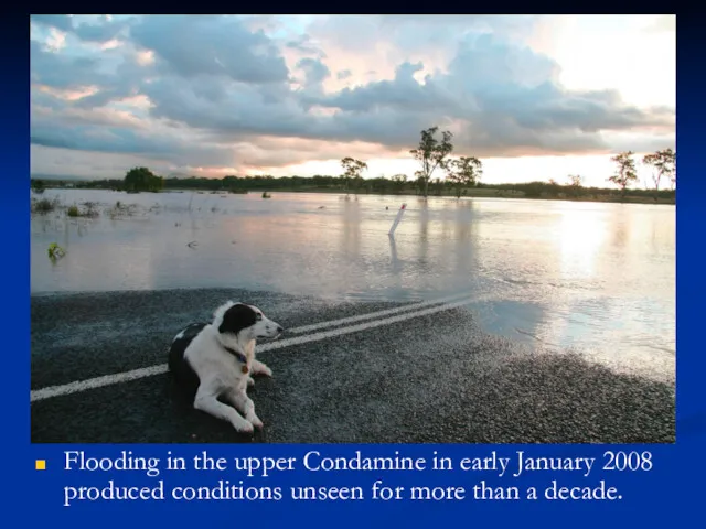
Flooding in the upper Condamine in early January 2008 produced conditions
Flooding in the upper Condamine in early January 2008 produced conditions
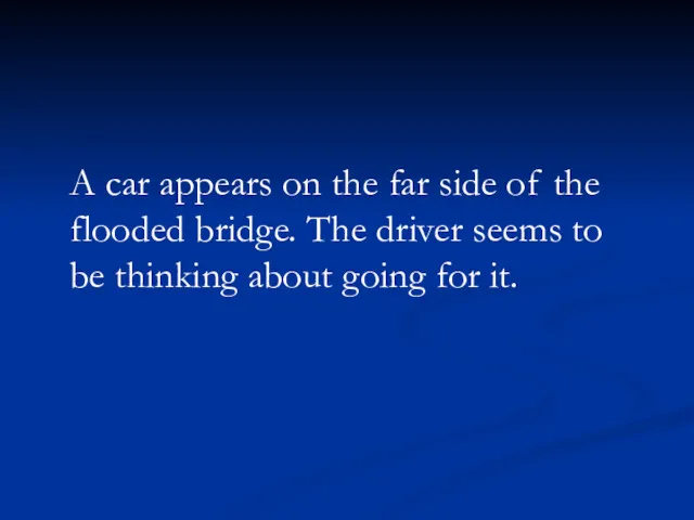
A car appears on the far side of the flooded bridge.
A car appears on the far side of the flooded bridge.
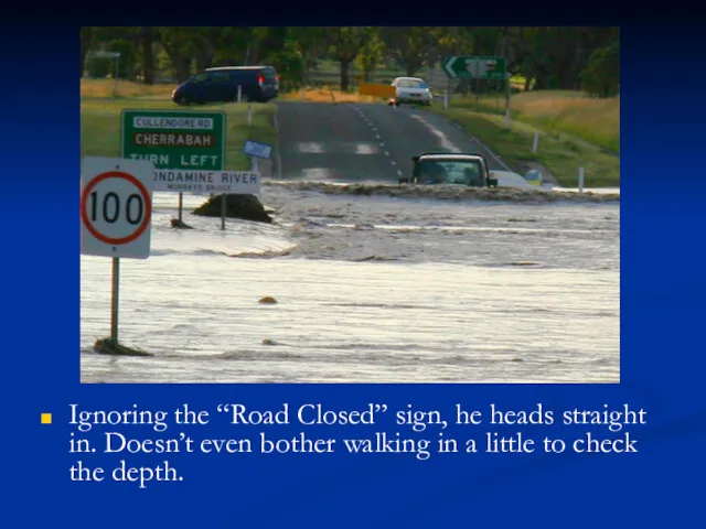
Ignoring the “Road Closed” sign, he heads straight in. Doesn’t even
Ignoring the “Road Closed” sign, he heads straight in. Doesn’t even

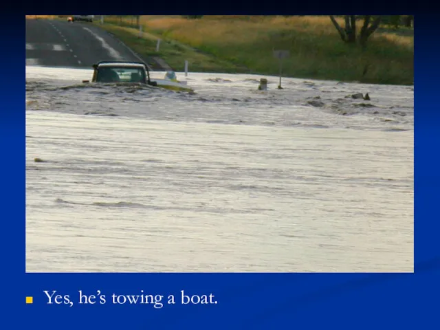
Yes, he’s towing a boat.
Yes, he’s towing a boat.
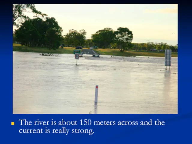
The river is about 150 meters across and the current is
The river is about 150 meters across and the current is

This chart shows the peak of the flood recorded at the
This chart shows the peak of the flood recorded at the
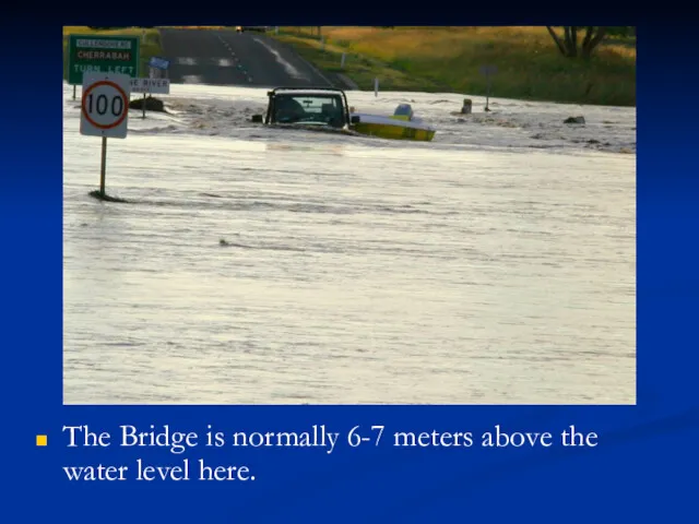
The Bridge is normally 6-7 meters above the water level here.
The Bridge is normally 6-7 meters above the water level here.

The current pushes the vehicle and boat downstream.
The current pushes the vehicle and boat downstream.
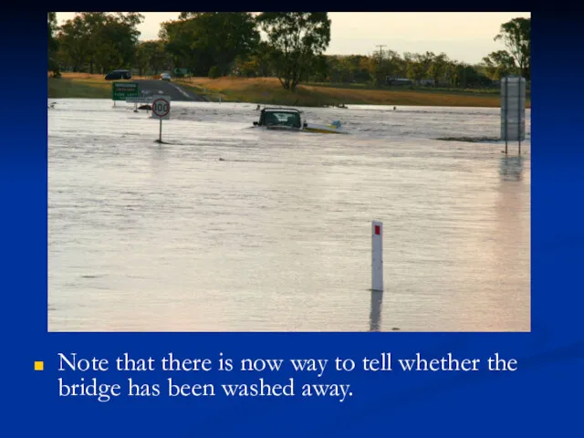
Note that there is now way to tell whether the bridge
Note that there is now way to tell whether the bridge

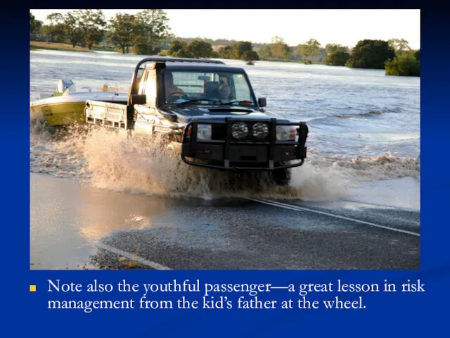
Note also the youthful passenger—a great lesson in risk management from
Note also the youthful passenger—a great lesson in risk management from
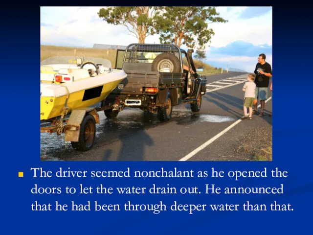
The driver seemed nonchalant as he opened the doors to let
The driver seemed nonchalant as he opened the doors to let

Questions
Would you like to be his insurance agent?
If he had a
Questions
Would you like to be his insurance agent?
If he had a
 Забезпечення пожежної безпеки комунального дошкільного навчального закладу. Дипломна робота
 Политическая безопасность
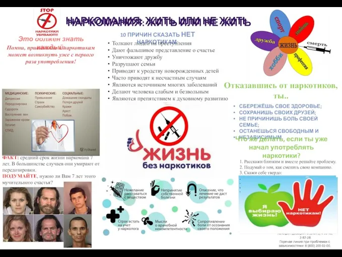 Наркомания
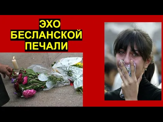 Эхо Бесланской печали
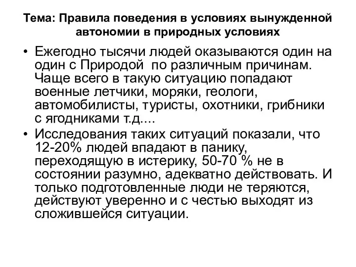 Правила поведения в условиях вынужденной автономии в природных условиях
 Техногенная катастрофа
 Правила безопасного поведения при угрозе террористического акта. Основы безопасности жизнедеятельности
 Правила поведения при угрозе террористического акта
 Безопасность детей в летний период
 История табака и курения
 Общегосударственное противодействие терроризму
 Детский травматизм
 Причины травматизма и профзаболеваний
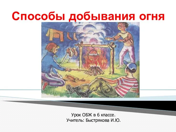 Добывание и использование огня
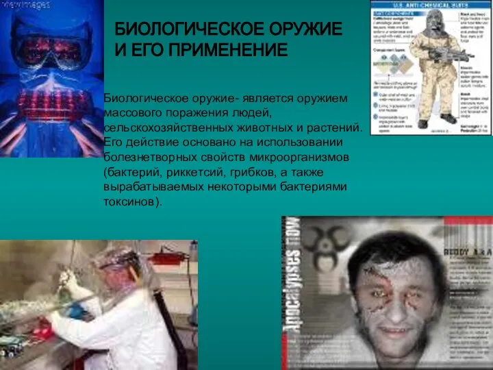 Биологическое оружие и его применение
 20231016_terrorizm_obzh_0
 Пожар и его развитие. Условия прекращения горения
 Безопасность на железнодорожном транспорте
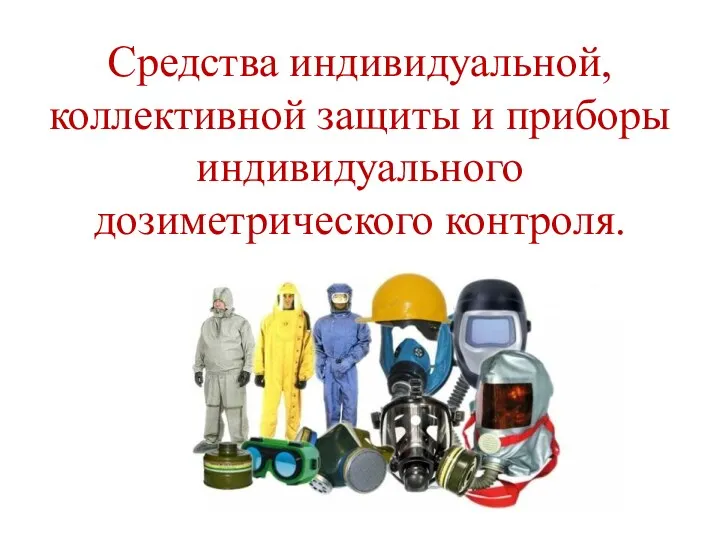 Средства индивидуальной, коллективной защиты и приборы индивидуального дозиметрического контроля
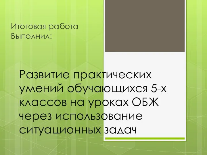 Развитие практических умений обучающихся 5-х классов на уроках ОБЖ через использование ситуационных задач
 Чрезвычайные ситуации
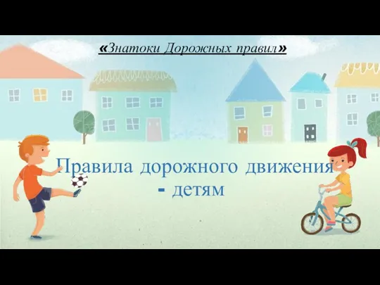 Знатоки дорожных правил. Правила дорожного движения - детям
 МЕРОПРИЯТИЕ ПО ПДД В ЛЕТНИХ ОЗДОРОВИТЕЛЬНЫХ ЛАГЕРЯХ МКОУ СОШ № 3 Г. НИКОЛАЕВСКА
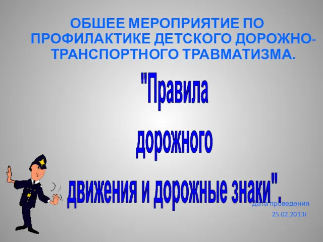 Правила дорожного движения и дорожные знаки
 Контроль за соблюдением норм, правил и требований пожарной безопасности при эксплуатации АСПТ (АСПС)
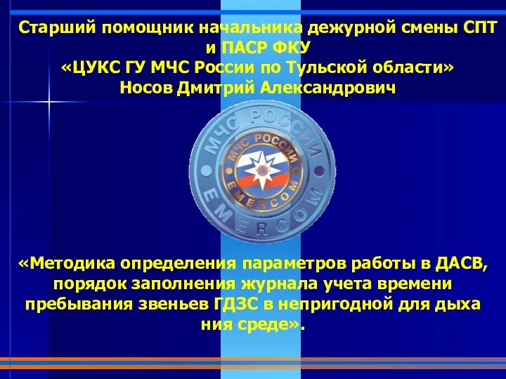 Параметры работы в ДАСВ, порядок заполнения журнала учета времени пребывания звеньев ГДЗС в непригодной для дыхания среде
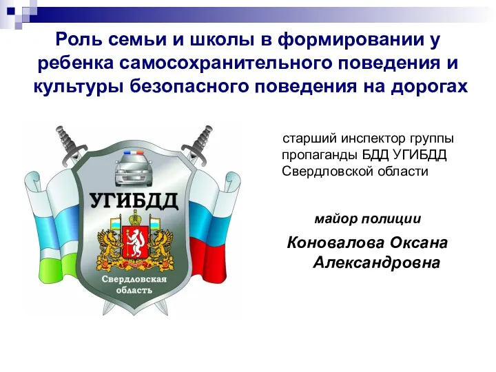 Роль семьи и школы в формировании у ребенка культуры безопасного поведения на дорогах
 Здоровьесберегающие технологии на уроках ОБЖ, ПДД