- ENGLISH

Содержание
- 2. Puprose and tasks So, the purpose of the course work: to make a map of the
- 3. This is map of Zavyalovsky district on Russian languages.
- 4. Toponymy Toponymy is science, which learns geographical names, their history, semantic meaning, development, spelling and pronunciation.
- 5. Information about villages Новая Казмаска (удм. Кадӟмас): the first resident of the village was engaged in
- 6. QGIS QGIS is the geographic information system QGIS, which allows you to create your own maps,
- 7. Pic.1 Pic.2 Pic.3 Pic.4
- 8. Pic.5 Pic. 6 Pic.7
- 9. Pic.8 Pic.9 Pic.10 Pic.11
- 11. Скачать презентацию
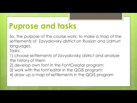
Puprose and tasks
So, the purpose of the course work: to make
Puprose and tasks
So, the purpose of the course work: to make
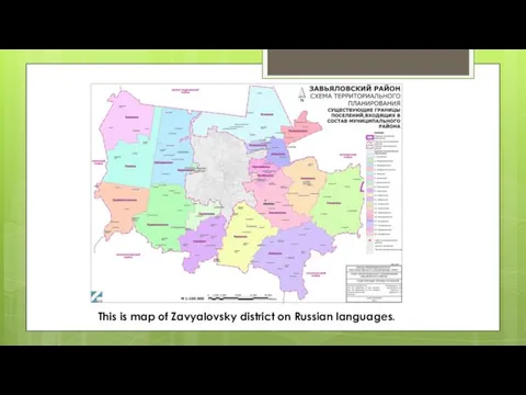
This is map of Zavyalovsky district on Russian languages.
This is map of Zavyalovsky district on Russian languages.
Toponymy
Toponymy is science, which learns geographical names, their history, semantic meaning,
Toponymy
Toponymy is science, which learns geographical names, their history, semantic meaning,
Information about villages
Новая Казмаска (удм. Кадӟмас): the first resident of the
Information about villages
Новая Казмаска (удм. Кадӟмас): the first resident of the
QGIS
QGIS is the geographic information system QGIS, which allows you to
QGIS
QGIS is the geographic information system QGIS, which allows you to
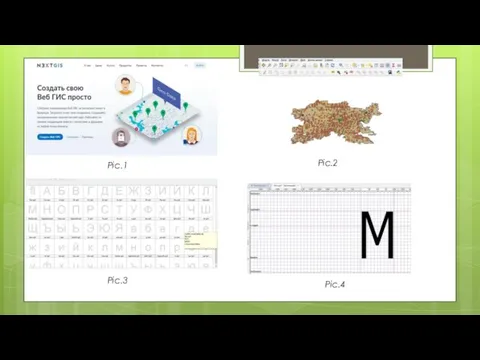
Pic.1
Pic.2
Pic.3
Pic.4
Pic.1
Pic.2
Pic.3
Pic.4
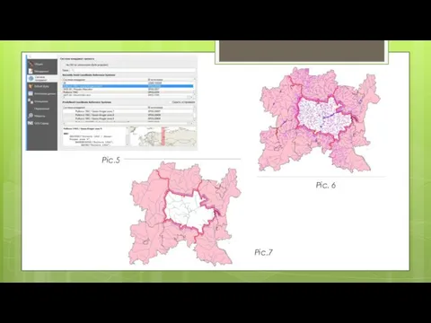
Pic.5
Pic. 6
Pic.7
Pic.5
Pic. 6
Pic.7
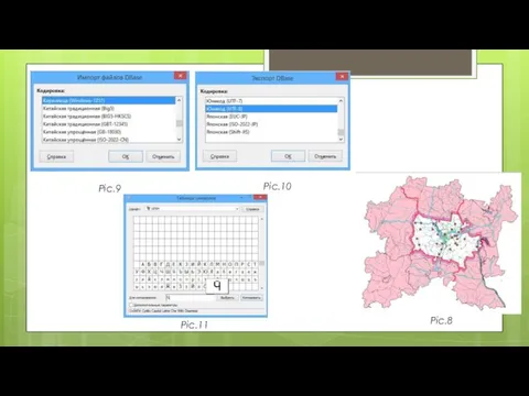
Pic.8
Pic.9
Pic.10
Pic.11
Pic.8
Pic.9
Pic.10
Pic.11
 Косвенные процесы в электролизе. Число переноса ионов
 Цветок, eго строение и значeниe
 Презентация к уроку географии 7-го класса Ядовитые обитатели Красного моря
 Ценностное предложение
 Тема 6
 ИКТ на уроках химии
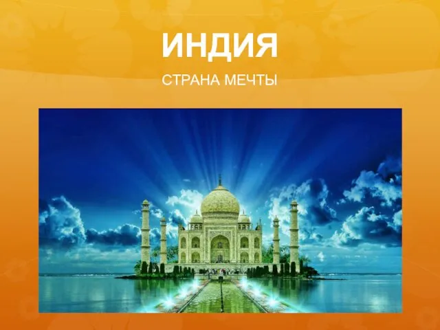 Индия. Страна мечты
 Техническое обслуживание железнодорожного пути
 GreenPeace
 Презентация к уроку географии на тему Изображение высот и глубин на картах.
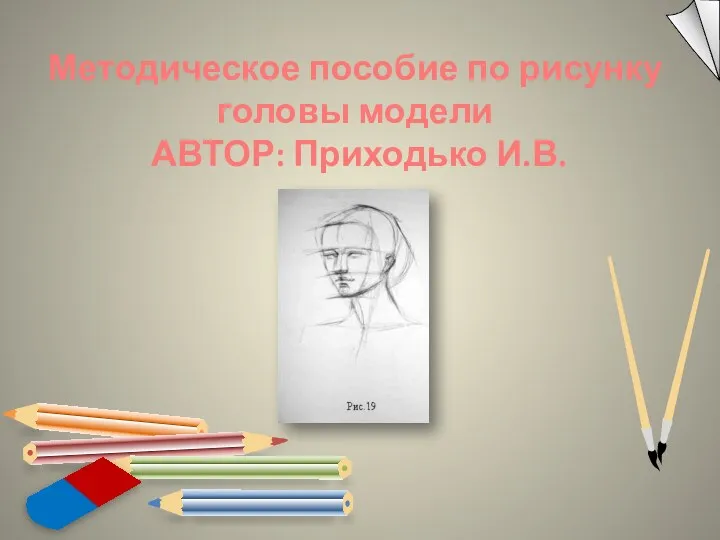 Методическое пособие по рисунку головы модели
 История фабрики шоколада Россия, г. Самара
 Византийская иконопись
 История развития радиоэлектроники, приборостроения и техники инфокоммуникаций
 Презентация 23 февраля - День Защитника Отечества
 20230225_vlazhnost_vozduha
 Consciousness
 Первые итоги и перспективы 2017 года
 Мультимедийная физминутка Зарядка
 Типология государств современного мира
 Салауатты өмір салтын құру және аурудың алдын алу профилактикасы
 Мнение родителей (законных представителей) по вопросам введения новых стандартов.
 Как моя семья пережила Великую Отечественную войну. Вязина Ксения
 Почему со мной лучше встречаться в интернете
 Проект “Кто твой герой?”
 Работа с одарёнными детьми Основные концептуальные положения (слайд 2) 1. Урочная деятельность (слайд 4) включает в себя: Работа в парах (слайд 6) Проектно-исследовательская деятельность (слайд 8) фо
 Организация и проведение иммунопрофилактики детского населения
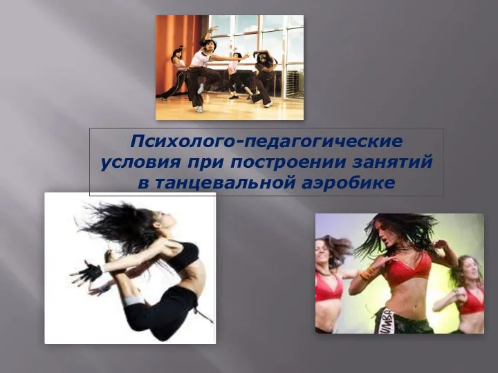 Психолого-педагогические условия при построении занятий в танцевальной аэробике