- The east region of Kazakhstan

Содержание
- 2. 1.The emblem & square 2. Administrative division. Districts 3.Mayor of the region 4. Physically-geographical location The
- 3. East Kazakhstan`s emblem The square The territory is 151,339 km², which is 5.6% of the area
- 4. Administative division Administrative and territorial structure Rural district - 15 City - 10 Urban city -
- 5. There are 15 districts in East Kazakhstan region: Abai district Ayagoz district Beskaragai district Boroduliha district
- 6. The mayor of East kazakhstan Akhmetov Danial Kenzhetaevich At November 11, 2014 became governor of the
- 7. Physically-geographical location East-Kazakhstan region Borders with three regions of Kazakhstan, with one region of China and
- 8. Mountains and ridges: On the east of the Irtysh River: ridges of ore Altai, Tikirek, Cherniy,
- 9. Climate The region's climate is very continental. Temperature: Average annual air temperature in January in the
- 10. Lakes Ertys, Balkash, Emil, Katynsu, Urzhar, Big Tekebulak, Karakol, Ai, Ayagoz, Bakanas,etc. Rivers Zaisan, Markakol, Alakol,
- 11. Economy East Kazakhstan region is the largest industrial and agricultural region of Kazakhstan. The main branch
- 12. People population In the region 9.4% of the population of Kazakhstan is concentrated. 59.4% in urban
- 13. Sightseeing Tract Kiin-Kerish Beluha mountain Tarbagatai State Nature Reserve Abai museum Alakol State Nature Reserve
- 14. Тhe bridge through Irtysh river Monument “Stronger than death” State Forest Nature Reserve "Semey`s forest"
- 16. Скачать презентацию
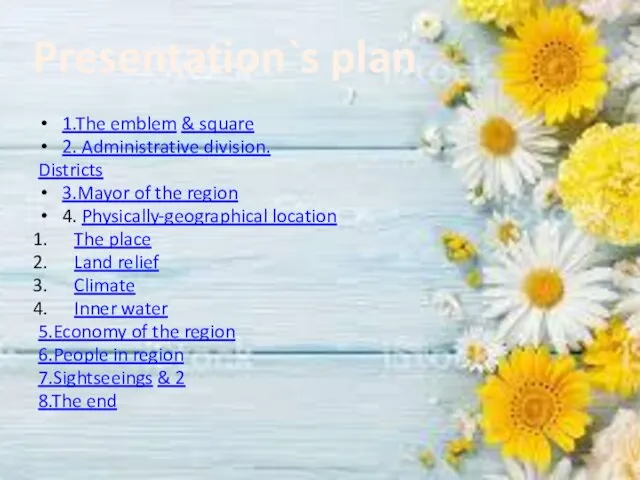
1.The emblem & square
2. Administrative division.
Districts
3.Mayor of the region
4. Physically-geographical location
The
1.The emblem & square
2. Administrative division.
Districts
3.Mayor of the region
4. Physically-geographical location
The
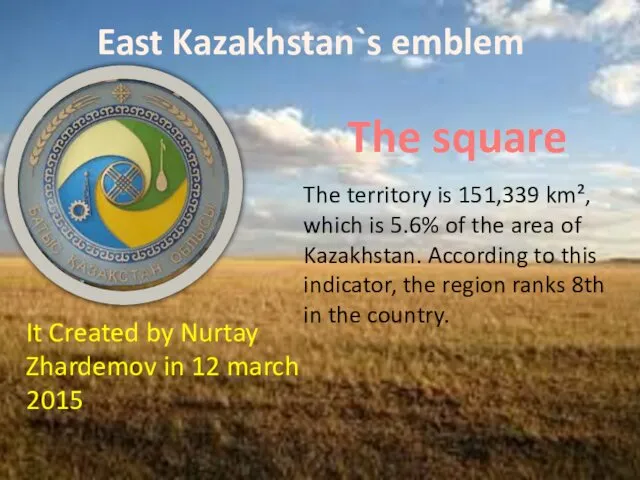
East Kazakhstan`s emblem
The square
The territory is 151,339 km², which is 5.6%
East Kazakhstan`s emblem
The square
The territory is 151,339 km², which is 5.6%

Administative division
Administrative and territorial structure
Rural district - 15
City - 10
Urban city
Administative division
Administrative and territorial structure
Rural district - 15
City - 10
Urban city
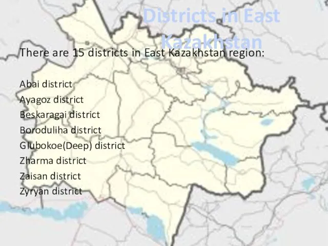
There are 15 districts in East Kazakhstan region:
Abai district
Ayagoz district
Beskaragai district
Boroduliha
There are 15 districts in East Kazakhstan region:
Abai district
Ayagoz district
Beskaragai district
Boroduliha

The mayor of East kazakhstan
Akhmetov Danial Kenzhetaevich
At November 11, 2014 became
The mayor of East kazakhstan
Akhmetov Danial Kenzhetaevich
At November 11, 2014 became
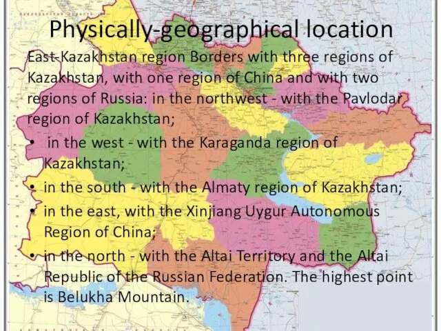
Physically-geographical location
East-Kazakhstan region Borders with three regions of Kazakhstan, with one
Physically-geographical location
East-Kazakhstan region Borders with three regions of Kazakhstan, with one
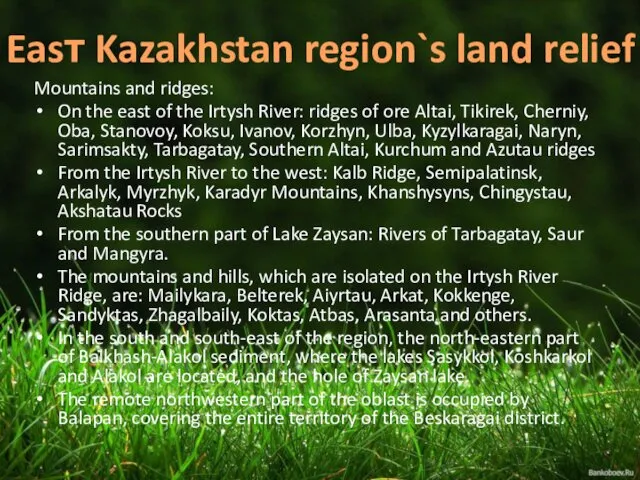
Mountains and ridges:
On the east of the Irtysh River: ridges of
Mountains and ridges:
On the east of the Irtysh River: ridges of

Climate
The region's climate is very continental.
Temperature:
Average annual air temperature in January
in
Climate
The region's climate is very continental.
Temperature:
Average annual air temperature in January
in
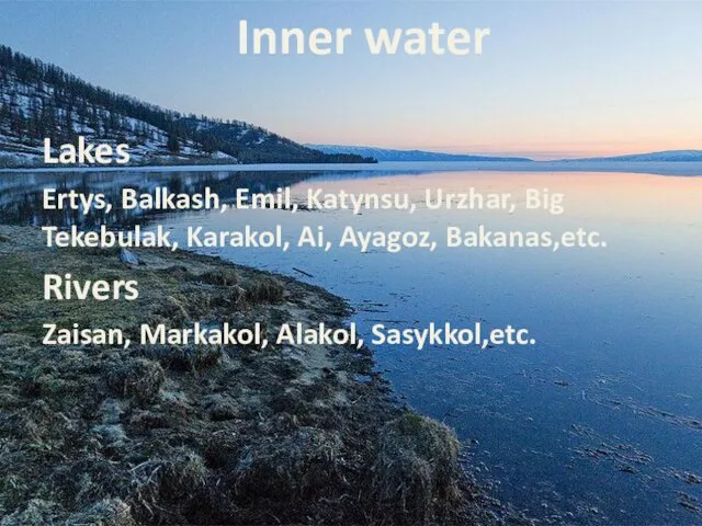
Lakes
Ertys, Balkash, Emil, Katynsu, Urzhar, Big Tekebulak, Karakol, Ai, Ayagoz, Bakanas,etc.
Rivers
Zaisan,
Lakes
Ertys, Balkash, Emil, Katynsu, Urzhar, Big Tekebulak, Karakol, Ai, Ayagoz, Bakanas,etc.
Rivers
Zaisan,
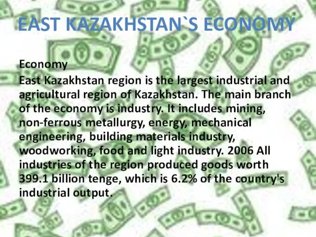
Economy
East Kazakhstan region is the largest industrial and agricultural region of
Economy
East Kazakhstan region is the largest industrial and agricultural region of
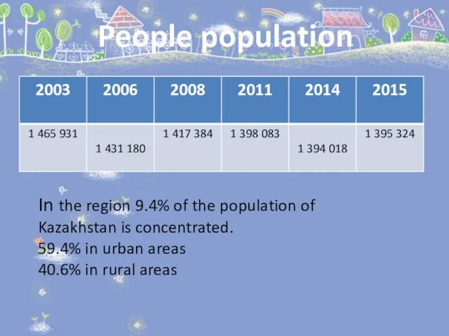
People population
In the region 9.4% of the population of Kazakhstan is
People population
In the region 9.4% of the population of Kazakhstan is
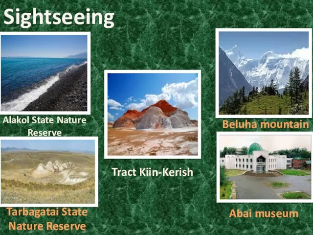
Sightseeing
Tract Kiin-Kerish
Beluha mountain
Tarbagatai State Nature Reserve
Abai museum
Alakol State Nature Reserve
Sightseeing
Tract Kiin-Kerish
Beluha mountain
Tarbagatai State Nature Reserve
Abai museum
Alakol State Nature Reserve
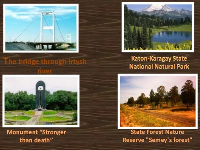
Тhe bridge through Irtysh river
Monument “Stronger than death”
State Forest Nature Reserve
Тhe bridge through Irtysh river
Monument “Stronger than death”
State Forest Nature Reserve
 Презентация к уроку Резьба по дереву (вводное занятие)
 Презентация. Фелтинг. Брошь Мак
 Религия как социокультурный феномен
 Електронні та друковані портфоліо
 Александр Трифонович Твардовский 1910-1971
 Бумажная пластика. Игрушки на елке
 Самоходные погрузчики
 СПб ГБПОУ Ленинградский машиностроительный техникум им. Ж.Я. Котина
 Кроссворд по правилам дорожного движения (с использованием клавиатуры)
 Цветы в технике квиллинга
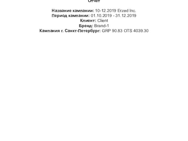 Кампания г. Санкт-Петербург: GRP 90.83 OTS 4039.30
 Способы решения показательных уравнений
 Банк Хоум Кредит
 Экономика нефтегазовой отрасли
 Средиземноморская природная зона, или субтропики: жёстколистные вечнозелёные леса и кустарники, описание, климат, почвы
 В бизнесе всё решают связью. Коммерческое предложение ПАО Ростелеком
 Метод эквивалентного генератора
 Мощность конвектора отопления
 Проект В лесном краю Почитаева
 КОМПЬЮТЕРНАЯ ПРЕЗЕНТАЦИЯ ПО ГЕОГРАФИИ 11 КЛАСС ФРГ
 Неделя игры и игрушки в подготовительной группе №8
 Структура письма
 Актуальные проблемы транспортной инфраструктуры в субъектах России
 Проектирование системы электроснабжения производственного цеха машиностроительного завода
 Механические процессы
 Замбия Республикасы
 Презентация к исследованию
 Речной транспорт