- Etadata for SDI

Содержание
- 2. 3.1. Benefits of metadata 1. Data, plus the context for its use (documentation, metadata) become information.
- 3. 4) Collection of metadata builds upon and enhances the data management procedures of the spatial community;
- 4. 3.2. Context and rationale of metadata for SDI 1. The word metadata shares the same Greek
- 5. Note. World Wide Web (WWW) – the global, seamless environment in which all information (text, images,
- 6. Notes. 1. Metadata allows a producer to describe a dataset fully so that users can understand
- 7. 3.3. Levels of metadata 1. There are different levels of metadata, such as: 1) Discovery metadata;
- 8. 2. Discovery metadata: 1) Is the minimum amount of information that needs to be provided to
- 9. 3. Exploration metadata: – Provides sufficient information enable an inquirer: a) To ascertain that data fit
- 10. 4. Exploitation metadata: 1) Include those properties required to access, transfer, load, interpret, and apply the
- 11. 3.4. Linkages between spatial data and metadata 1. New versions of commercial GIS software are now
- 12. 3. Metadata: 1) May exist at: a) The collection level (e.g. satellite series); b) A data
- 13. 3.5. Metadata standards 3.5.1. Purpose for use metadata standards 1. Metadata structures and definitions should be
- 14. 3.5.2. Main spatial metadata standards Three main metadata standards exist or are in development that are
- 15. 1. The Content Standard for Digital Geospatial Metadata, U.S. 1994, revised 1998 (http://www.fgdc.gov): 1) Approved in
- 16. 2. A CEN Pre-standard adopted in 1998 (http://forum.afnor.fr/afnor/WORK/AFNOR/GPN2/Z13C/ indexen.htm): 1) In 1992 the Comité Européen de
- 17. Notes. 1. In 1994 the International Standards Organization created technical committee 211 (ISO/TC 211) with responsibility
- 18. 3. ISO 19115 (International Standard) including ISO 19139 (Draft Technical Specification): 1) Was published and approved
- 19. 6) ISO 19115 has a companion specification, ISO 19139, which: a) Standardizes the expression of 19115
- 20. 3.5.3. Other initiatives concerning spatial metadata standards 1. A number of national and regional initiatives have
- 21. 3. Metadata also forms an important part of the OpenGIS Abstract Specification: 1) The OpenGIS Consortium
- 22. 3.5.4. General metadata standards 1. Other standards exist in the broader topic of metadata that do
- 23. 1) The Dublin Core, which: a) Is a metadata element set intended to facilitate discovery of
- 24. 2) The Spatial Data Transfer Standard (SDTS) and the Vector Product Format (VPF) Digital Exchange Standards
- 25. 3.6. Metadata for applications 1. There is a tendency to adapt the metadata structure and content
- 26. 4. The World Wide Web Consortium and Oasis XML groups have specified service and resource discovery
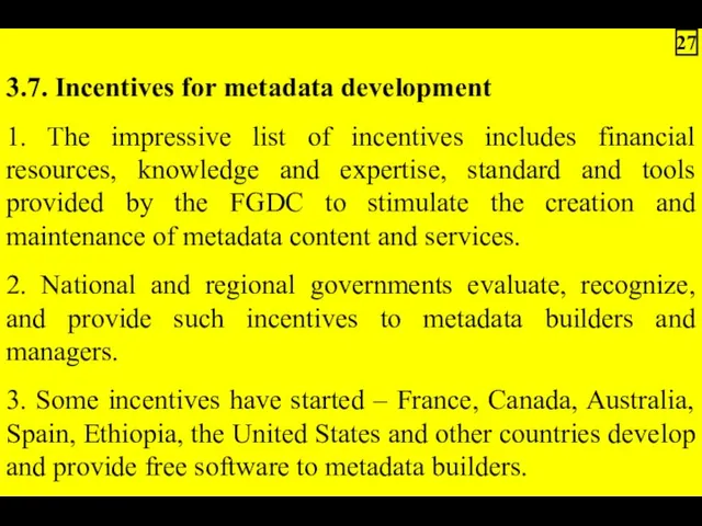
- 27. 3.7. Incentives for metadata development 1. The impressive list of incentives includes financial resources, knowledge and
- 29. Скачать презентацию
3.1. Benefits of metadata
1. Data, plus the context for its use
1. Data, plus the context for its use
4) Collection of metadata builds upon and enhances the data management
3.2. Context and rationale of metadata for SDI
1. The word metadata
1. The word metadata
Note. World Wide Web (WWW) – the global, seamless environment in
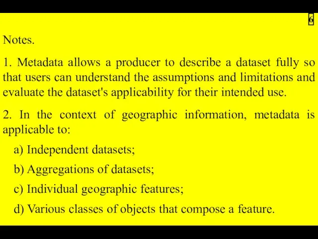
Notes.
1. Metadata allows a producer to describe a dataset fully so
1. Metadata allows a producer to describe a dataset fully so
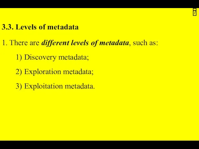
3.3. Levels of metadata
1. There are different levels of metadata, such
1. There are different levels of metadata, such
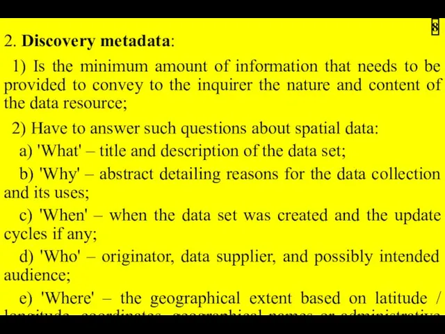
2. Discovery metadata:
1) Is the minimum amount of information that needs
1) Is the minimum amount of information that needs
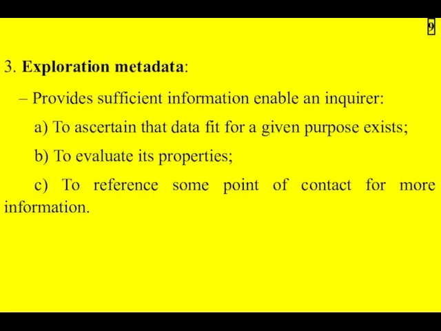
3. Exploration metadata:
– Provides sufficient information enable an inquirer:
a) To ascertain
– Provides sufficient information enable an inquirer:
a) To ascertain
4. Exploitation metadata:
1) Include those properties required to access, transfer, load,
1) Include those properties required to access, transfer, load,
3.4. Linkages between spatial data and metadata
1. New versions of commercial
1. New versions of commercial
3. Metadata:
1) May exist at:
a) The collection level (e.g. satellite series);
b)
1) May exist at:
a) The collection level (e.g. satellite series);
b)
3.5. Metadata standards
3.5.1. Purpose for use metadata standards
1. Metadata structures and
3.5.1. Purpose for use metadata standards
1. Metadata structures and
3.5.2. Main spatial metadata standards
Three main metadata standards exist or are
Three main metadata standards exist or are
1. The Content Standard for Digital Geospatial Metadata, U.S. 1994, revised
2. A CEN Pre-standard adopted in 1998
(http://forum.afnor.fr/afnor/WORK/AFNOR/GPN2/Z13C/ indexen.htm):
1) In 1992 the
(http://forum.afnor.fr/afnor/WORK/AFNOR/GPN2/Z13C/ indexen.htm):
1) In 1992 the
Notes.
1. In 1994 the International Standards Organization created technical committee 211
1. In 1994 the International Standards Organization created technical committee 211
3. ISO 19115 (International Standard) including ISO 19139 (Draft Technical Specification):
1)
1)
6) ISO 19115 has a companion specification, ISO 19139, which:
a) Standardizes
a) Standardizes
3.5.3. Other initiatives concerning spatial metadata standards
1. A number of national
1. A number of national
3. Metadata also forms an important part of the OpenGIS Abstract
3.5.4. General metadata standards
1. Other standards exist in the broader topic
1. Other standards exist in the broader topic
1) The Dublin Core, which:
a) Is a metadata element set intended
a) Is a metadata element set intended
2) The Spatial Data Transfer Standard (SDTS) and the Vector Product

3.6. Metadata for applications
1. There is a tendency to adapt the
1. There is a tendency to adapt the
4. The World Wide Web Consortium and Oasis XML groups have
3.7. Incentives for metadata development
1. The impressive list of incentives includes
1. The impressive list of incentives includes
 Родительское собрание Безопасность детей в сети Интернет и интернет-угрозы для ребенка
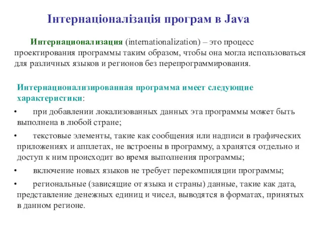 Інтернаціоналізація програм в Java
 3DMask. Разработка приложения для мобильных устройств
 Этика в интернете. 11 класс
 Интерактивная презентация Основные и дополнительные устройства компьютера
 Двоичная система счисления
 Android – что это
 Электронный ЮУрГУ. Видеоконференция. Русский язык, как иностранный
 Тестировщик программного обеспечения. Итоговый проект Сайт Beerkontora.ru
 Основы программирования. Лабораторная работа
 Информационные системы
 Введение в математическую логику
 Создание веб-сайтов. Рисунки
 Электронная информационная система предприятия. Тема 8
 Коротка історія розвитку мов програмування
 Библиографическая запись. Библиографическое описание. Общие требования и правила составления
 Классификация и характеристика программного обеспечения персонального компьютера
 Принципы разработки тестов
 The Pochinov platform
 ОБЪЕКТ И ЕГО ХАРАКТЕРИСТИКА
 This is your presentation title
 Дыбыстық ақпаратты өңдеу. Дыбыс жазу. Информатика сабағы 3 сынып
 Методические особенности подготовки учащихся к итоговой аттестации по информатике с учетом требований нового образовательного стандарта
 Разработка мультимедийного сопровождения для оценки недвижимого имущества
 Безопасность автоматизированных систем обработки информации (АСОИ). Курс лекций
 Управление компьютером с помощью меню 5 класс
 Системы анализа и оценки уязвимостей. Технология управления безопасностью информационных систем
 Программирование кнопок. Объектно - ориентированное программирование