- Labeling the map

Содержание
- 2. Objectives of our lesson: understand specific information in extended talk; recognise the opinion of the speaker;
- 3. Half of the class are given questions and half are given answers. You must silently go
- 4. Video
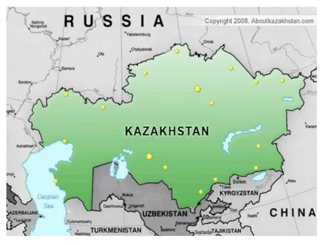
- 5. This is a map of Kazakhstan. It shows cities and towns. We can also see that
- 7. Vocabulary Shrub- куст semi-desert -полупустыни, Pastures -пастбища, shrubbery- кустарник mountainous- горный Glaciers -ледник, limestone-известняк , plateau
- 10. Скачать презентацию
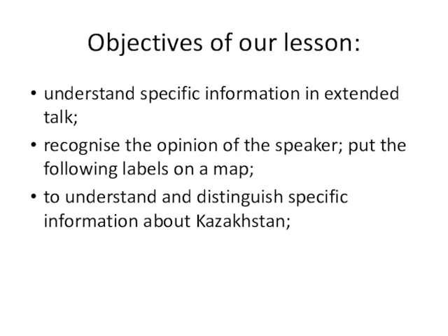
Objectives of our lesson:
understand specific information in extended talk;
recognise the opinion
Objectives of our lesson:
understand specific information in extended talk;
recognise the opinion
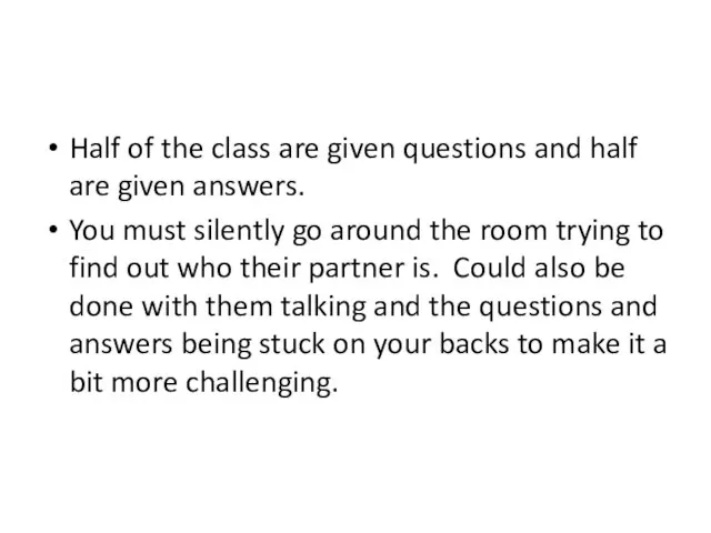
Half of the class are given questions and half are given
Half of the class are given questions and half are given

Video
Video
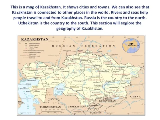
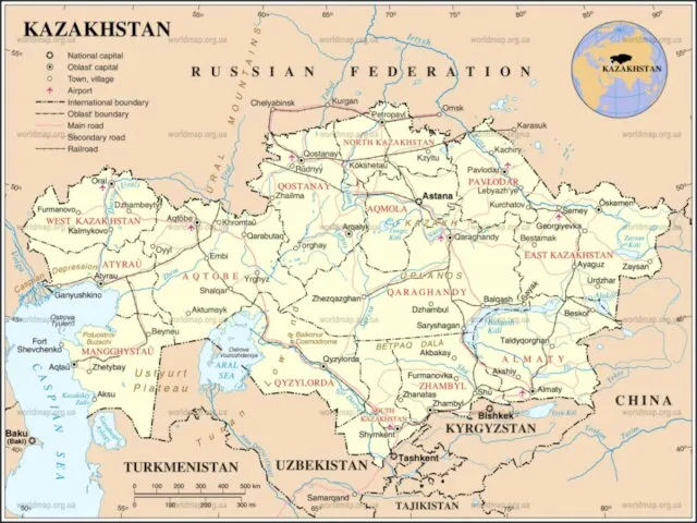
This is a map of Kazakhstan. It shows cities and towns.
This is a map of Kazakhstan. It shows cities and towns.
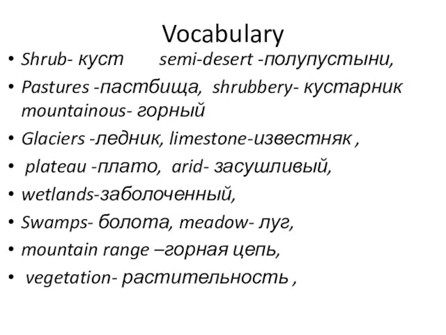
Vocabulary
Shrub- куст semi-desert -полупустыни,
Pastures -пастбища, shrubbery- кустарник mountainous- горный
Glaciers
Vocabulary
Shrub- куст semi-desert -полупустыни,
Pastures -пастбища, shrubbery- кустарник mountainous- горный
Glaciers
 Александр Твардовский Василий Теркин
 Сканирующий тахеометр Trimble SX10
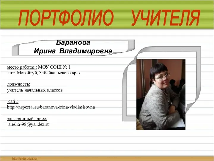 Портфолио учителя
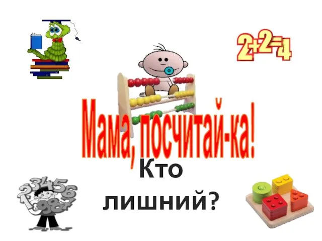 Кто лишний
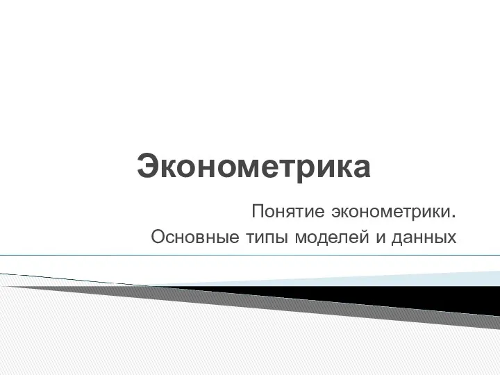 Эконометрика. Основные типы моделей и данных
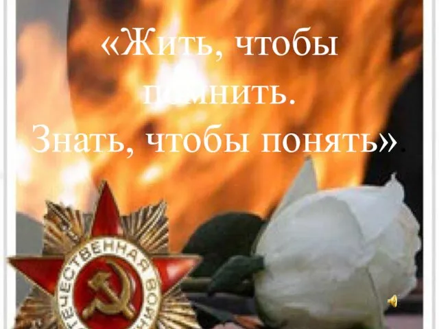 Жить, чтобы помнить. Знать, чтобы понять
 Эпоха Возрождения
 Теоретические основы конструирования швейных изделий
 Действия с десятичными дробями Урок – путешествие 5 класс
 Презентция проекта ТЮМЕНЬ - МОЙ ГОРОД РОДНОЙ!
 Биокерамика. Изготовление протезов из биокерамики
 Презентація Процедура дистанційні перевірки
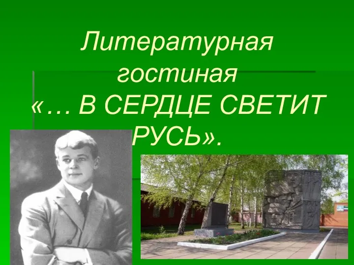 Презентация по творчеству С.Есенина
 Лучевая диагностика выделительной системы
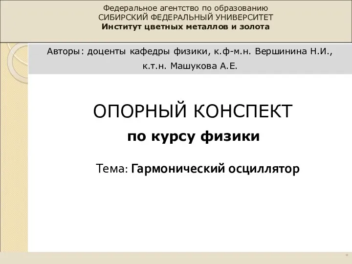 Гармонический осциллятор
 Среднее арифметическое. Среднее значение величины
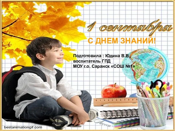 Презентация С Днем Знаний
 Открытый урок Азбука здоровья
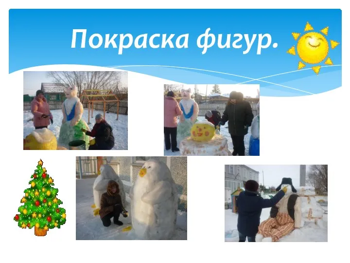 Снежный городок 2011 год
 Химический диктант по органической химии 9 класс (презентация)
 Логические выражения и логические операции
 Технология стыковой сварки сопротивлением. (Лекция 11)
 Как помочь ребенку в выборе профессии
 Гиподинамия и гипокинезия – факторы риска болезней цивилизации
 Оконные и дверные блоки и проемы
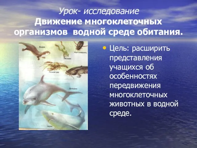 Движение многоклеточных организмов водной среде обитания
 Пирамиды в нашей жизни
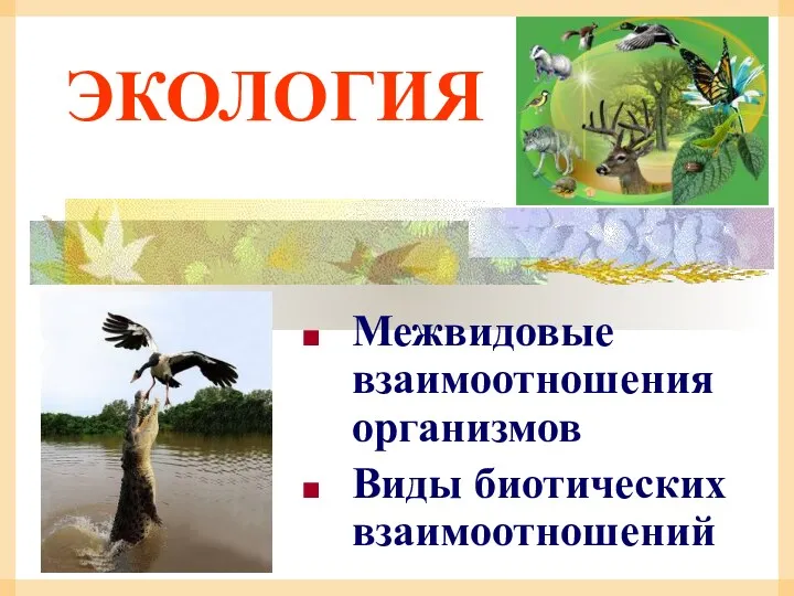 Экология. Межвидовые взаимоотношения организмов. Виды биотических взаимоотношений